TechnoGIS Indonesia at World Geospatial Forum 2024 in Rotterdam

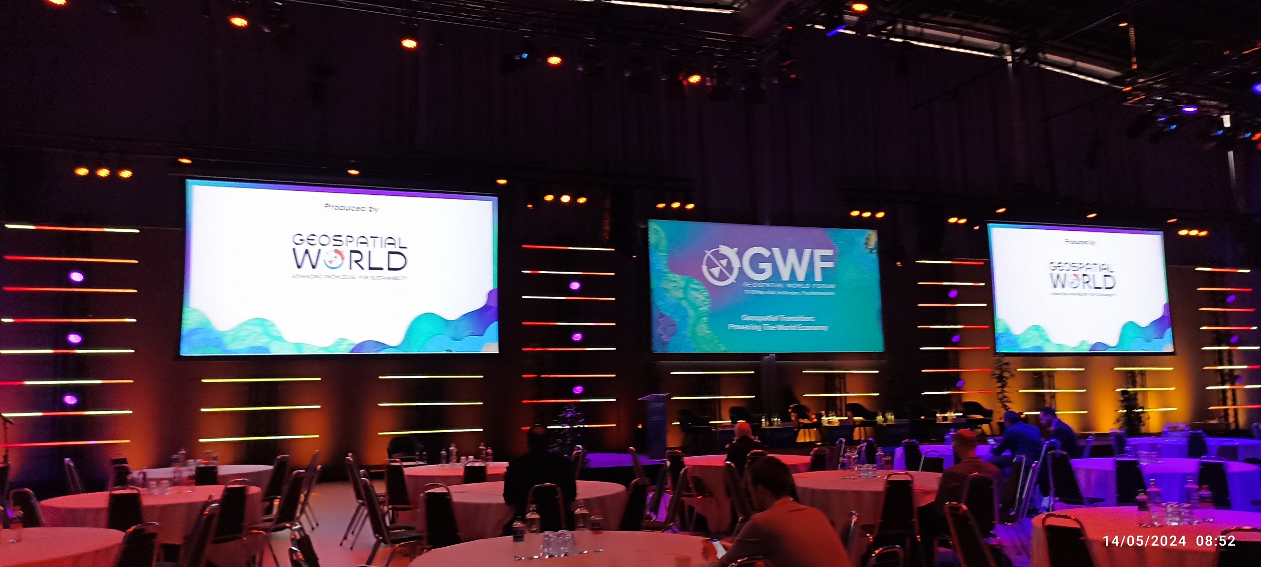
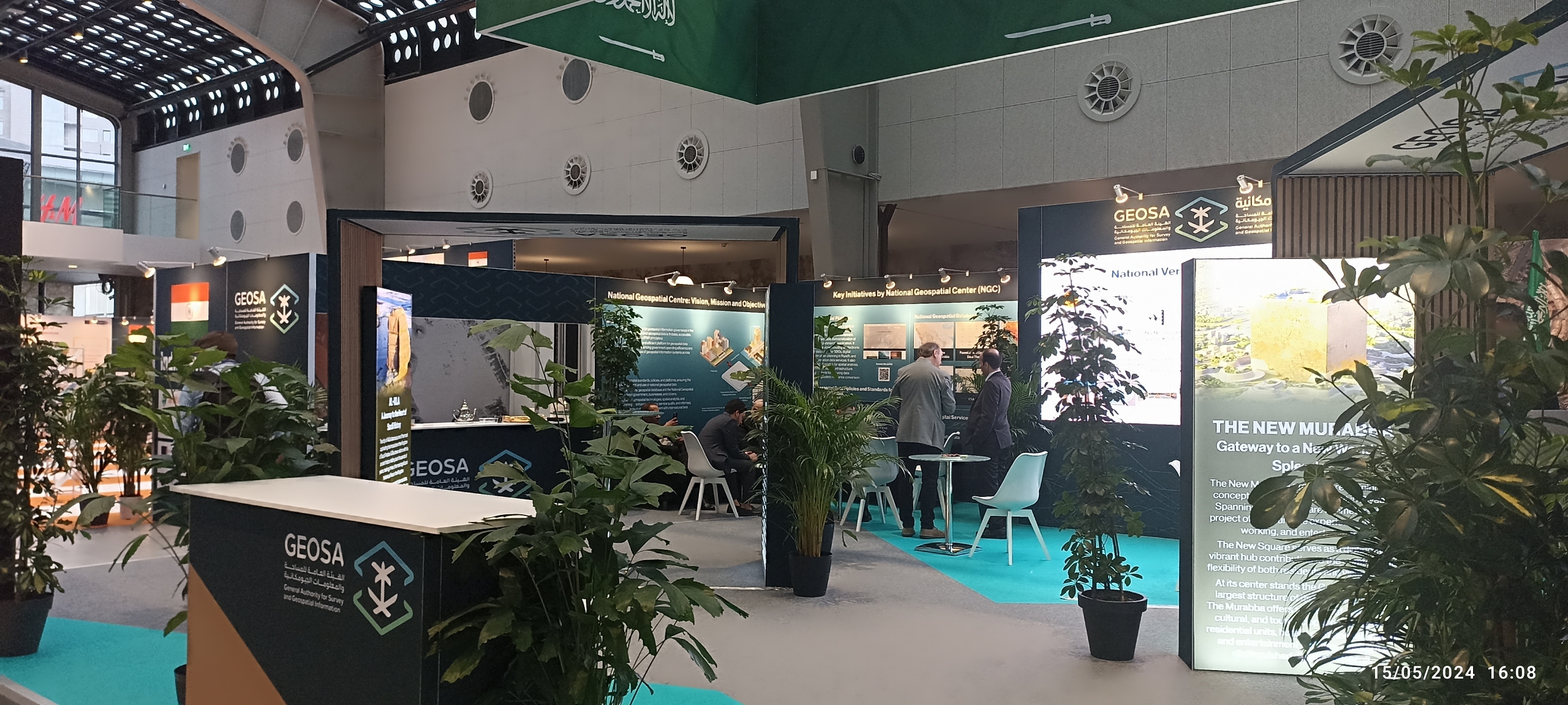
Rotterdam, May 19, 2024. In 2024, The Geospatial World Forum takes place in Rotterdam, The Netherlands, from 13 to 16 May 2024. Delegations from multiple entities representing governments, private companies, researchers, academics, professionals, and innovators from across the world attend this premier event. As a showcase of geospatial development and innovation, GWF is a perfect event that offers opportunities for future development, mutual engagements, and valuable global networking.

GEOSPATIAL TRANSITION: POWERING THE WORLD ECONOMY
Geospatial Technology has taken place in the heart of the growing digital economy and society, as John Renard, President-Utilities and Geospatial, Cyient, UK, said in 2018. The global geospatial economy has driven the global economy into a new stage. In the last three years, the geospatial industry has been projected to have a value of around $512 billion. In addition, the direct socioeconomic impact is also valued at around $7.5 Trillion and attracted $202 Billion in direct investment (GWF, 2024). Geospatial Technology will play a central role in future development, i.e., energy, communication, Infrastructure, environment, climate changes, land administration, and so on. In the next five years, the potential value of the world economy will quadruple compared to the current condition with the advancement of geospatial technology.

TechnoGIS: Innovating Geospatial Solutions

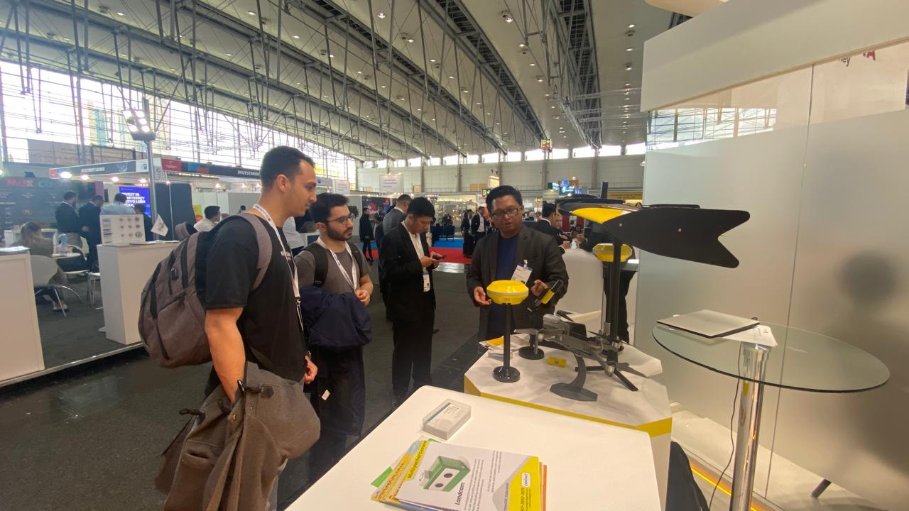
TechnoGIS, a progressive startup from Indonesia, is making significant strides in the geospatial technology sector. The company is committed to developing cutting-edge geospatial solutions that address various industry needs. Their innovative approaches and technological expertise have positioned them as a rising star in the geospatial community. During the forum, TechnoGIS had the opportunity to engage with global geospatial leaders and experts.

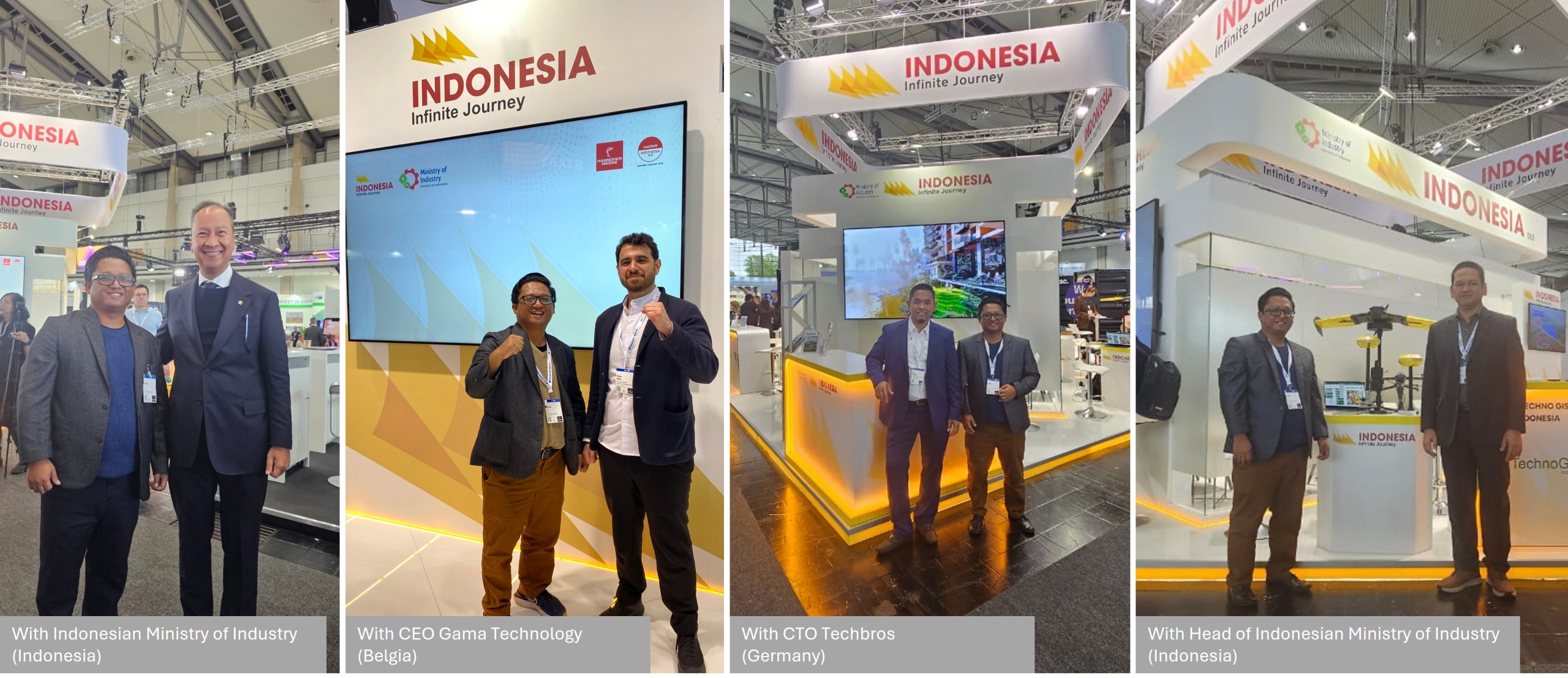
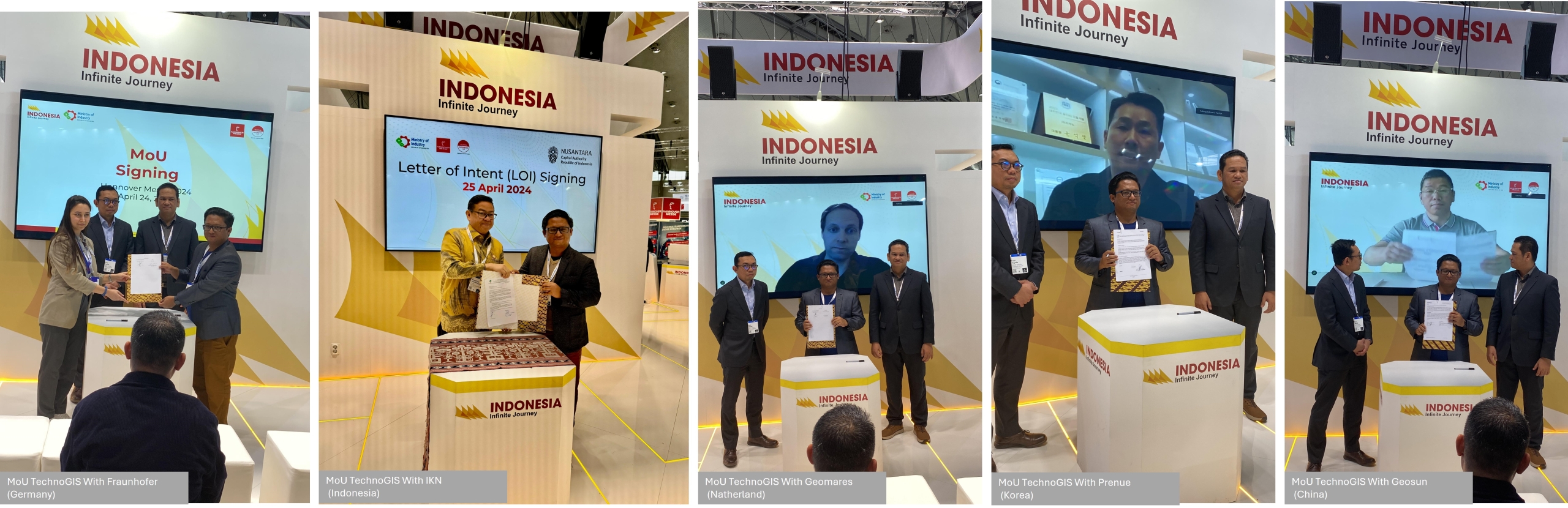
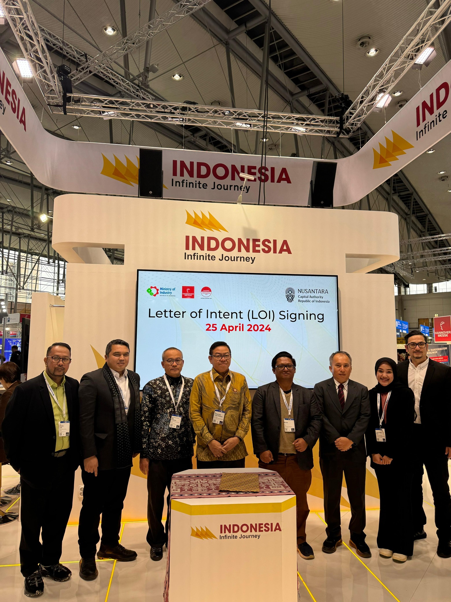
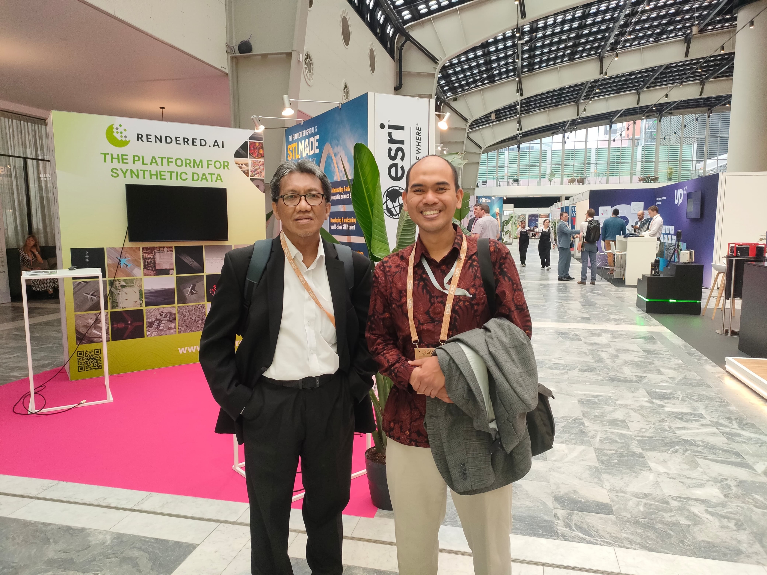
Networking with International Geospatial Companies

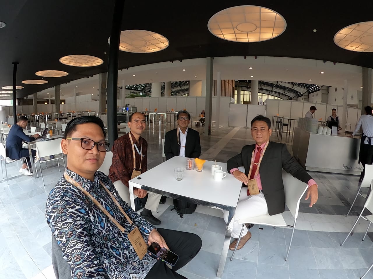
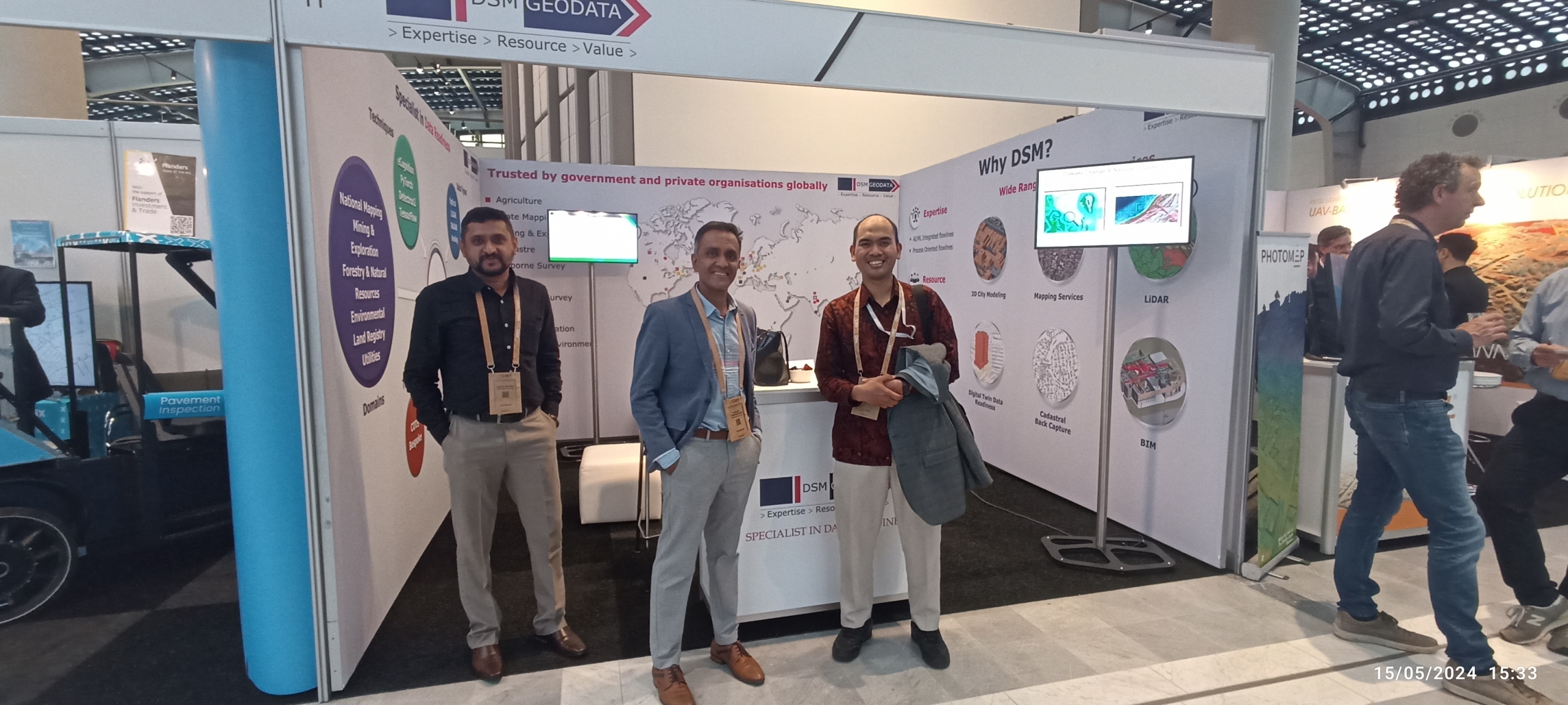
The Geospatial World Forum is a perfect platform for TechnoGIS to connect with representatives from leading geospatial companies worldwide. These interactions opened doors to explore joint ventures and partnerships, fostering a collaborative environment to push the boundaries of geospatial technology. The exchange of ideas and expertise is expected to drive innovation and growth in the sector.
Mr. Jauhari also met with TechnoGIS’s existing international partners, who reinforced TechnoGIS’s commitment to maintaining strong and productive relationships. The discussions focused on expanding current projects and identifying new areas of cooperation to leverage geospatial technology’s potential further. Notably, he met with Prof. Aris Marfai, the Head of the Indonesian Geospatial Information Agency (BIG). “Indonesia is a big Country, and we need the technology, experts, and high-quality human resources to accelerate the mapping projects in Indonesia. Collaboration between local and International companies will increase the geospatial ecosystem in Indonesia,” Marfai said. “We also intend to host the geospatial exhibition in Indonesia by inviting companies, professionals, and researchers to expand the global networking and collaboration for the local companies in Indonesia,” he added. During the meeting, Mr. Jauhari also met with Mr. Rachman Rifai, Head of the Center for Management and Dissemination of Geospatial Information, BIG.

In line with Mr Sarono, the CEO of TechnoGIS, TechnoGIS’s vision is to play a role in the geospatial industry, particularly in Indonesia and, moreover, in the world context. “Our goal is to significantly contribute to the development of geospatial solutions in Indonesia and establish ourselves as the leading geospatial company in Asia,” he stated. TechnoGIS aims to leverage its expertise to support various sectors, including urban planning, disaster management, and environmental conservation, thereby driving sustainable development.

The participation of TechnoGIS in the World Geospatial Forum 2024 highlights TechnoGIS’s commitment to staying at the forefront of geospatial technology. The insights gained and the connections made during the event are expected to fuel the company’s growth and innovation. TechnoGIS is optimistic about the future collaborations that will emerge from this forum, believing that these partnerships will enhance the company’s offerings and contribute to the broader geospatial community. TechnoGIS is poised to make a significant impact in the geospatial industry, both in Indonesia and beyond. The company’s involvement in the World Geospatial Forum 2024 underscores its dedication to innovation, collaboration, and excellence. With a clear vision and strategic partnerships, TechnoGIS is set to lead the way in geospatial technology, aiming to become the best in Asia and a key player on the global stage.

TechnoGIS Participates in Hannover Messe 2024 in Hannover, Germany

TechnoGIS Participates in Hannover Messe 2024 in Hannover, Germany  – Hannover, May 19, 2024 – TechnoGIS, an innovative geospatial technology company from Indonesia, proudly announces its participation in the Hannover Messe 2024, one of the world’s largest and most influential industrial trade fairs. Represented by Mr. Sarono, CEO of TechnoGIS, the company showcased its cutting-edge geospatial solutions and signed multiple Memoranda of Understanding (MoUs) with leading international companies and organizations.

Hannover Messe 2024: A Global Industrial Platform

Hannover Messe, held annually in Hannover, Germany, is a premier event that attracts over 200,000 visitors and more than 6,000 exhibitors from around the globe. The event serves as a vital platform for companies to display their latest innovations, share knowledge, and establish valuable business connections. The 2024 edition of Hannover Messe focuses on themes such as Industry 4.0, smart technologies, and sustainable industrial solutions, reflecting the evolving landscape of global industries.

About TechnoGIS

TechnoGIS is at the forefront of the geospatial technology sector, offering advanced solutions for various industries including urban planning, environmental management, disaster response, and infrastructure development. The company’s mission is to leverage geospatial data and technology to drive efficient, sustainable, and informed decision-making processes. With a team of skilled professionals and a commitment to innovation, TechnoGIS aims to lead the way in the geospatial industry in Indonesia and beyond.

TechnoGIS at Hannover Messe 2024

At Hannover Messe 2024, TechnoGIS, under the leadership of CEO Mr. Sarono, presented its latest geospatial technologies and solutions. The company’s booth attracted significant attention from industry professionals, government officials, and potential business partners. TechnoGIS’s participation underscored its commitment to expanding its global presence and exploring new avenues for collaboration.

Significant MoUs Signed

A highlight of TechnoGIS’s participation at Hannover Messe 2024 was the signing of several key Memoranda of Understanding (MoUs) with international partners:

Prenue, South Korea: The MoU with Prenue aims to foster collaboration in developing advanced drone for geospatial applications . This partnership will combine TechnoGIS’s geospatial expertise with Prenue’s cutting-edge drone technology.

Geosun, China: The agreement with Geosun focuses on joint research and development LiDAR  to enhance geospatial data acquisition and analysis capabilities. This collaboration is expected to lead to innovative solutions that will benefit both companies’ client bases.

Fraunhofer Institute for Production Systems and Design Technology (IPK), Germany: The MoU with Fraunhofer IPK involves cooperative efforts in the field of drone monitoring for fire forest in Indonesia. This partnership will leverage Fraunhofer’s extensive research capabilities and TechnoGIS’s practical expertise to create impactful geospatial solutions in disaster management especially fire forest.

Geomares, Netherlands: The collaboration with Geomares aims to improve geospatial communication and dissemination. By working together, the two companies plan to develop platforms that make geospatial information more accessible and useful for various stakeholders. Also open international market for TechnoGIS products such us TGS GNSS, GeoLiDAR, NiVO Drone Mapping and Landcam Multispectral Camera.

Collaboration with Otorita IKN


In a significant move, TechnoGIS also signed an MoU with Otorita IKN, the authority responsible for the development of Indonesia’s new capital city, Nusantara. This agreement focuses on the implementation of advanced geospatial monitoring systems to oversee land use and environmental changes in the new capital area. The collaboration aims to ensure sustainable development and effective land management practices as the new capital evolves.

Future Collaboration Prospects

Mr. Sarono expressed his enthusiasm about the opportunities these partnerships bring. “The MoUs signed at Hannover Messe 2024 represent a major milestone for TechnoGIS. We are excited to work with such esteemed international partners and believe that these collaborations will drive innovation and excellence in the geospatial sector. Our goal is to leverage these partnerships to enhance our solutions and contribute significantly to the global geospatial community.”

TechnoGIS envisions these partnerships as a pathway to pioneering new geospatial technologies and applications. The company aims to combine its expertise with the knowledge and resources of its partners to address complex challenges in various industries. By fostering a collaborative environment, TechnoGIS hopes to create solutions that are not only technologically advanced but also socially and environmentally responsible.

Looking Ahead

The participation of TechnoGIS in Hannover Messe 2024 marks a significant step in the company’s journey towards becoming a global leader in geospatial technology. The insights gained and the connections made during the event are expected to propel TechnoGIS to new heights of innovation and success. The company is committed to continuing its efforts to expand its international footprint and to establish itself as a trusted partner in the geospatial industry.


Conclusion

TechnoGIS’s presence at Hannover Messe 2024 and the signing of strategic MoUs highlight the company’s dedication to growth, innovation, and collaboration. These agreements are not only a testament to TechnoGIS’s capabilities but also an indication of its vision for the future. By working closely with international partners, TechnoGIS aims to push the boundaries of geospatial technology and to deliver solutions that make a tangible difference in the world