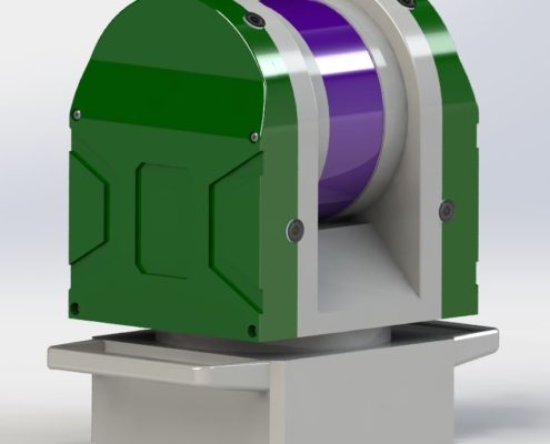
High-Performance 3D Scanning Technology

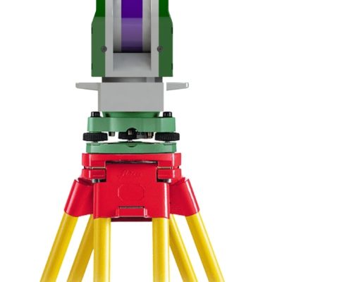
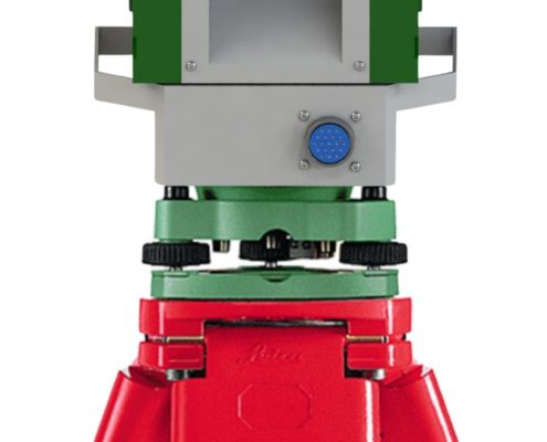
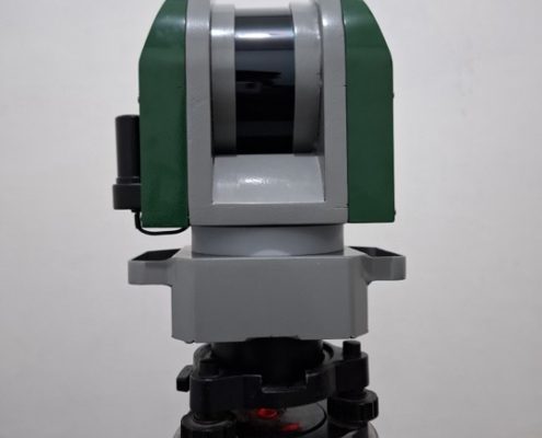
GeoLiDAR Terrestrial Laser Scanner

Precision, Speed, and Innovation in One Device GeoLiDAR Terrestrial Laser Scanner is your ultimate tool for high-accuracy 3D scanning and mapping. Designed for professionals in architecture, construction, forestry, mining, and environmental monitoring, this state-of-the-art scanner ensures precise data collection.

The GeoLiDAR Laser Scanner proudly stands as Indonesia’s first LiDAR Equipment with a TKDN certification exceeding 25%, combining local excellence with global technology standards.

High Performance

Centi meters level accuracy with less than 5 second to fixed.

40 Working Hours

Industrial Lifepo4 battery for working along day without worries.

IoT Ready

Stream data to TGIS dashboard realtime using cloud technology.

Lest talk about features

Keys & Main Feature

LiDAR type: 903 nm, 300.000 Point per second
Max Distance: 200 m
CPU: Core i3 Quad Core
Internal: 512 Gb

GNSS type: Multi Frequency GNSS with 184 Channel, GPS L1C/A L2C, GLO L1OF L2OF, GAL E1B/C E5b, BDS B1I B2I, QZSS L1C/A L2C.
GNSS Convergence time: RTK <10 sec.
Nav. update rate:
RTK up to 20 Hz1.
GNSS Position accuracy: RTK 0.01 m + 1 ppm.
Survey: Static, RTK Radio, RTK NTRIP, Navigation DGPS.

Indonesia TKDN: >25%.

  • Architecture and Construction: Deliver accurate as-built documentation and perform structural analysis with ease, ensuring efficient project execution and long-term reliability of structures.
  • Forestry and Ecology: Assess vegetation health, calculate biomass, and analyze topography with precision, providing critical data for conservation and resource management.
  • Mining and Geology: Support accurate resource estimation and geospatial analysis, aiding in efficient extraction planning and geological studies.
  • Urban Planning: Facilitate infrastructure mapping and create detailed city models, helping urban planners design sustainable and efficient urban landscapes.
  • Environmental Studies: Conduct terrain mapping, monitor erosion, and analyze ecological changes effectively, enabling informed decision-making in environmental conservation.

GeoLiDAR Terrestrial Laser Scanner

High-Performance 3D Scanning Technology for Complex Environments

GeoLiDAR Terrestrial Laser Scanner represents a leap forward in 3D scanning technology, providing unparalleled accuracy and efficiency for professionals across various industries. Whether you are mapping dense forests, analyzing construction sites, or conducting urban planning, GeoLiDAR offers the precision and versatility needed to excel in demanding environments.

Designed to meet the highest standards, this terrestrial laser scanner combines state-of-the-art hardware with cutting-edge software integration. Its advanced features ensure that data collection is not only accurate but also seamless, making complex projects more manageable and less time-consuming. From rugged terrains to intricate architectural details, GeoLiDAR captures it all with millimeter-level precision.

Incorporating robust design and long-range capability, GeoLiDAR is engineered to withstand harsh conditions while maintaining performance. Its intuitive user interface and smart automation features further enhance the user experience, making it accessible to both seasoned professionals and newcomers alike.

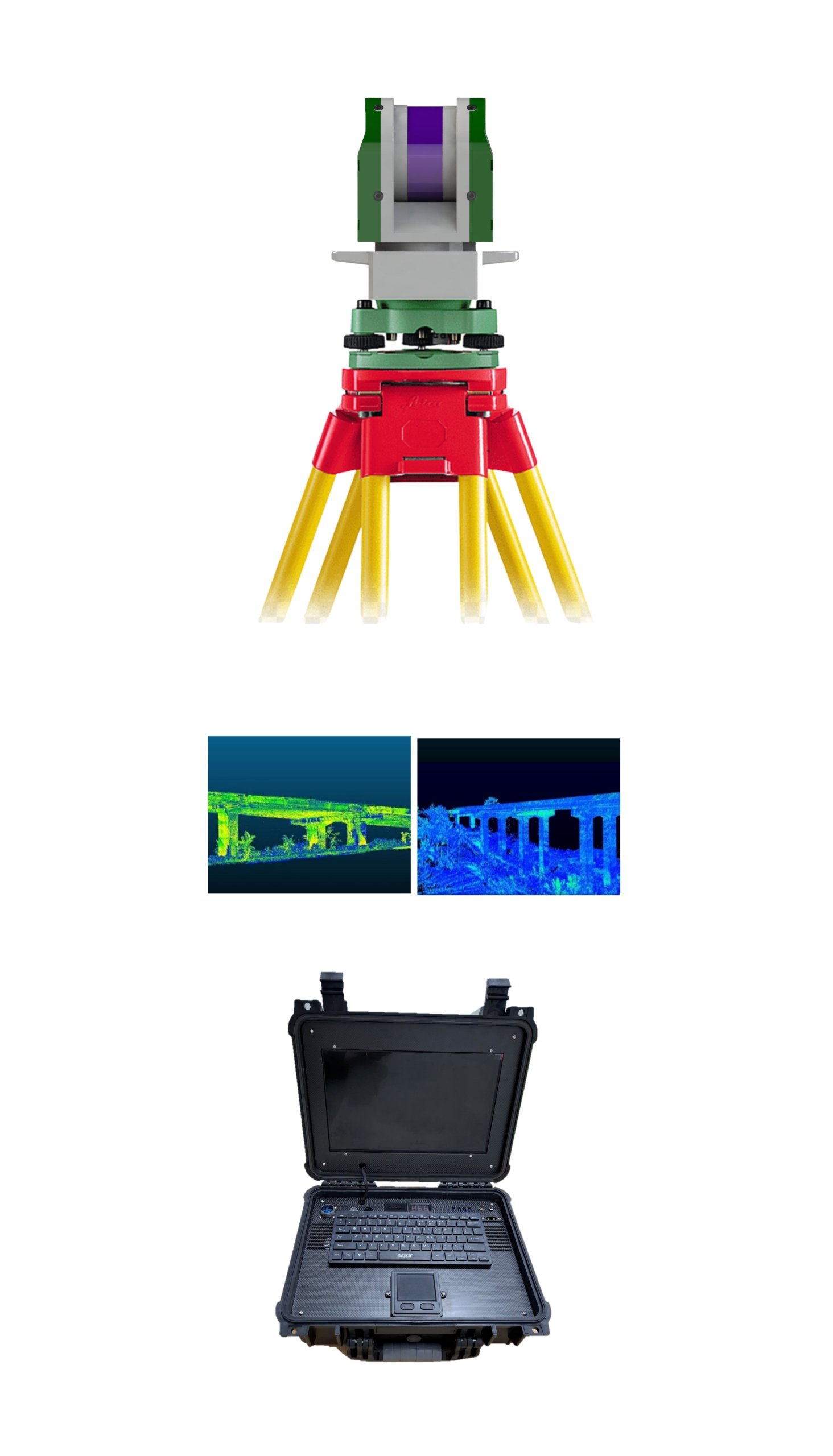
1
2
3
4
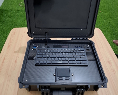
1

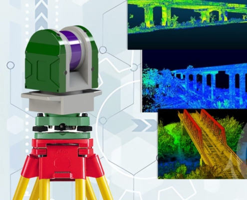
GeoLiDAR TLS

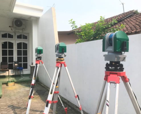
2

Tripod Survey

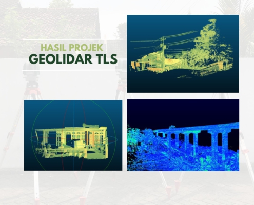
3

3D Point Cloud Result

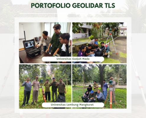
4

Station Data Collector

GeoLiDAR
Channel 16 – 32 Channels
Wavelength ~300.000 points/second
Detection Measurement Range 903 nm
Field of View 200 Meters
3D LiDAR Data Points Generated Single Return Mode : ~300.000 point/second Dual Return Mode : ~ 600.000 point/second
Range of Accuracy 225° x 360° Automatic Rotation
Point Cloud Accuracy Scanning Up to ±3 cm (Typical) 5cm @100m
Rotation Rate 5 – 20 Hz
GNSS System Support Static Correction and NTRIP Correction GPS L1/L2/L5, GLONASS L1/L2 BDS B1C/B1/B2/B2a/B2b/B3 GALILEO E1/E5b/E5a
Position Accuracy Horizontal 0.02m and Vertical 0.05 m
Battery Power 22.2 V (6s)
Processor Intel Core I5
RAM 8 GB
Internal Storage SSD 512GB
Controller Personal Computer Outdoor
Operating Temperature -10°C to 60°C
Data Raw data : .dat and .gld Output : .las
*Camera Resolution 4 x 5 Megapixel
Dimensions H x W x D 120 mm x 145 mm x 220 mm
Weight 4.420 gram
TKDN (Tingkat Komponen Dalam Negeri) Certificate 40 %

GeoLiDAR Terrestrial Laser Scanner is a cutting-edge solution designed to revolutionize terrestrial mapping and 3D modeling. Equipped with high-precision sensors and advanced algorithms, GeoLiDAR delivers unparalleled accuracy and detail in capturing the physical environment. Its robust design and intuitive operation make it ideal for applications in surveying, construction, forestry, and environmental monitoring. Whether you’re capturing the intricate details of complex structures or mapping expansive landscapes, GeoLiDAR ensures seamless and efficient data collection.

  • Architecture and Construction: Deliver accurate as-built documentation and perform structural analysis with ease, ensuring efficient project execution and long-term reliability of structures.
  • Forestry and Ecology: Assess vegetation health, calculate biomass, and analyze topography with precision, providing critical data for conservation and resource management.
  • Mining and Geology: Support accurate resource estimation and geospatial analysis, aiding in efficient extraction planning and geological studies.
  • Urban Planning: Facilitate infrastructure mapping and create detailed city models, helping urban planners design sustainable and efficient urban landscapes.
  • Environmental Studies: Conduct terrain mapping, monitor erosion, and analyze ecological changes effectively, enabling informed decision-making in environmental conservation.

What sets GeoLiDAR apart is its integration with cloud-based processing and artificial intelligence. This enables users to quickly analyze, process, and visualize point cloud data in real time, saving both time and resources. The scanner is also compatible with various software platforms, offering flexibility for professionals across industries. GeoLiDAR empowers businesses to make data-driven decisions with confidence, supported by its ability to generate accurate and actionable insights from the scanned environment.

Lest talk about features

Keys & Main Feature

  • Surveying and Mapping: Deliver accurate land surveys and topographical maps with confidence.
  • Construction: Ensure precise measurements and layouts for efficient project execution.
  • Agriculture: Enhance crop management with precise geolocation for smart farming.
  • Environmental Monitoring: Support data collection for conservation and analysis with reliable positioning.
No Details Date Type
1 Manual Books  20/12/2024 pdf
2 Feature Eksplanation 21/12/2024 pdf
3 Design and Technology 22/12/2024 pdf
4 Research Publication 23/12/2024 pdf
5 Certificate Calibration 24/12/2024 pdf
6 Result of Calibration 25/12/2024 pdf
7 Sampel Data Location 1 25/12/2024 pdf
8 Sampel Data Location 2 25/12/2024 pdf
9 Sampel Data Location 3 25/12/2024 pdf
10 GeoLiDAR Data Collector 25/12/2024 exe
11 GeoLiDAR Post Processing Software 25/12/2024 exe

Utilization of GeoLiDAR TLS First Case

Enhanced Stockpile Volume Measurement

Efficiently measure and analyze stockpile volumes, including materials like coal, cement, and other industrial resources, using GeoLiDAR TLS. Its advanced scanning capabilities provide precise, high-resolution data for accurate volume assessments. This technology streamlines inventory tracking, optimizes resource management, and minimizes calculation errors in industrial operations.

Advanced Construction Monitoring

Comprehensive Bridge Inspection

GeoLiDAR TLS revolutionizes bridge inspections by capturing intricate 3D structural models with millimeter-level precision. Its detailed data collection enables engineers to identify potential structural anomalies, assess maintenance needs, and prioritize safety improvements. This ensures that infrastructure remains reliable and compliant with regulatory standards.

3D Cadastral and Design Interior

Accurate Indoor 3D Building Mapping

From residential spaces to complex industrial interiors, GeoLiDAR TLS delivers comprehensive 3D mapping of indoor environments. It accurately captures architectural layouts, helping professionals with space utilization, renovation planning, and detailed design workflows. This solution bridges the gap between real-world environments and digital precision.

Smart Construction Management

Precise Toll Road Infrastructure Mapping

Optimize the planning and maintenance of toll road infrastructures with GeoLiDAR TLS. The scanner accurately captures road alignments, lane details, and structural features, supporting efficient construction, monitoring, and rehabilitation projects. Its high-accuracy results enhance project timelines and ensure safety standards.

GeoLiDAR for Environment Issue

Detailed Cave Exploration and Documentation

Uncover the mysteries of caves with the unparalleled capabilities of GeoLiDAR TLS. Its long-range scanning and exceptional accuracy make it the perfect tool for mapping intricate cave systems. Scientists and explorers can document geological formations, assess environmental changes, and create 3D visualizations for further study and preservation.