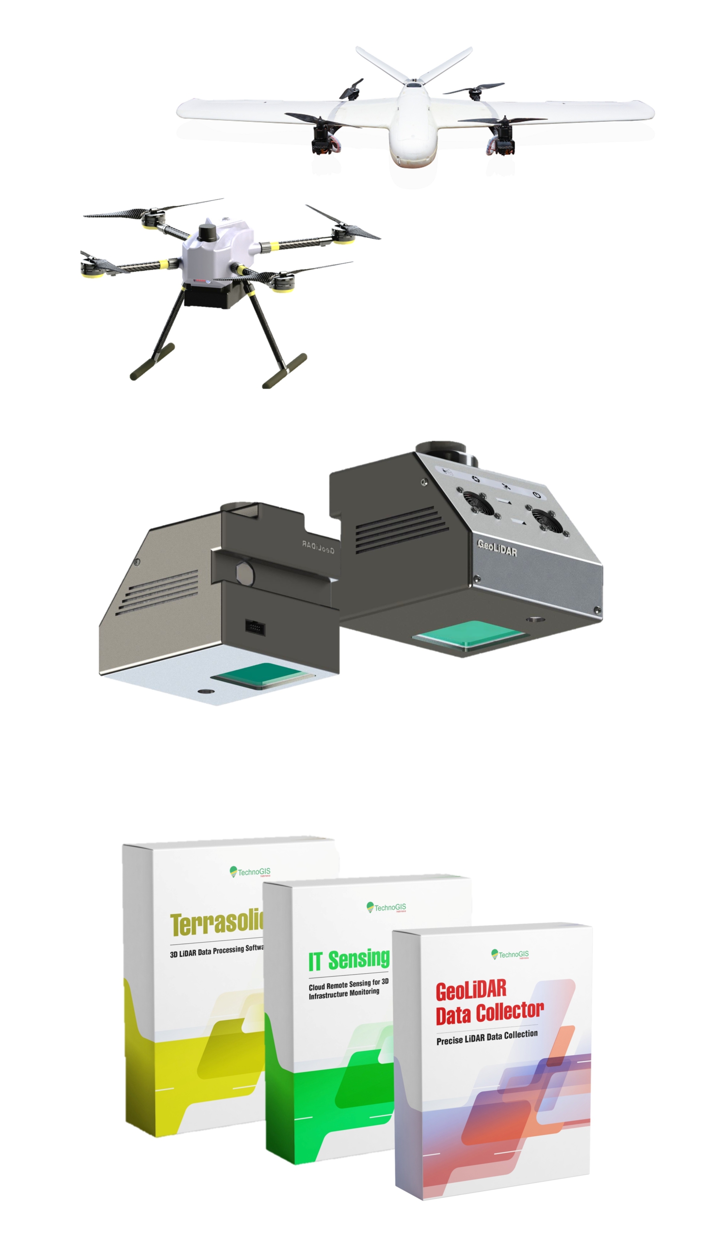
High-Performance 3D Scanning Technology
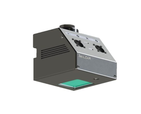
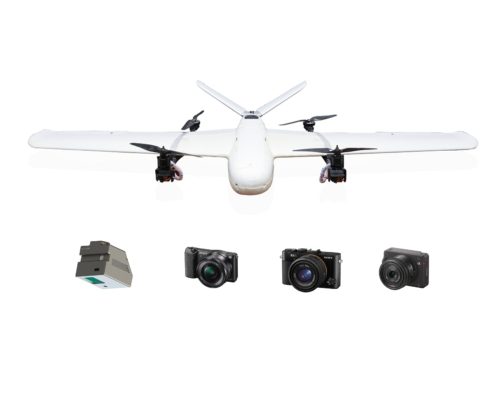
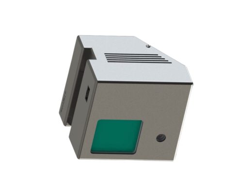
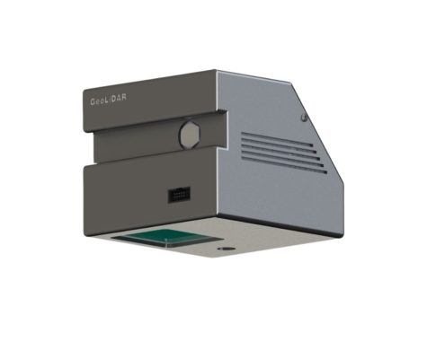
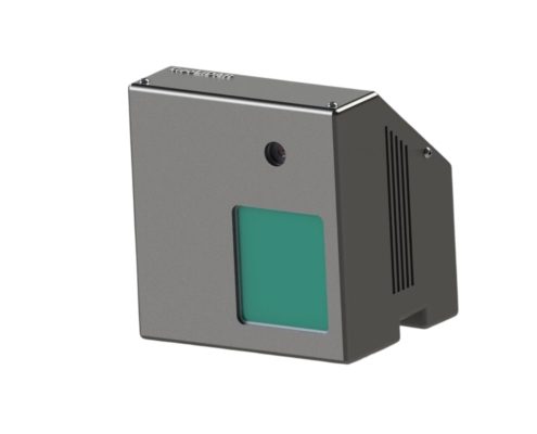
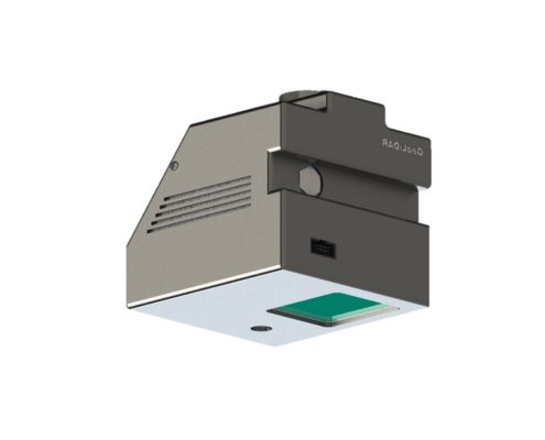
GeoLiDAR Aerial Laser Scanner
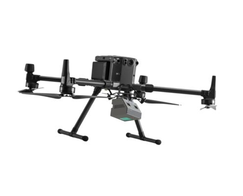
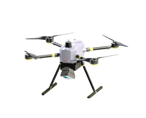
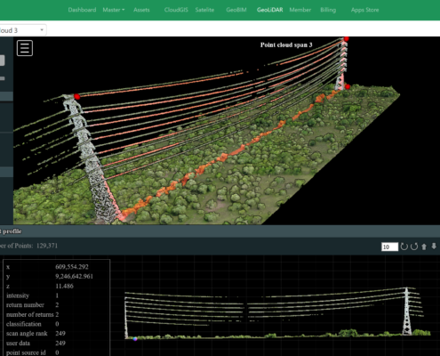
GeoLiDAR Aerial Laser Scanner (GeoLiDAR ALS) is a cutting-edge remote sensing solution designed to deliver unparalleled precision in terrain mapping, forest inventory, urban planning, and infrastructure management. Leveraging the power of advanced LiDAR (Light Detection and Ranging) technology, GeoLiDAR ALS sets a new standard in capturing high-resolution 3D spatial data from aerial platforms.
The GeoLiDAR Aerial Laser Scanner proudly stands as Indonesia’s first LiDAR Equipment with a TKDN certification exceeding 25%, combining local excellence with global technology standards.

