High Performance Drone for Geospatial
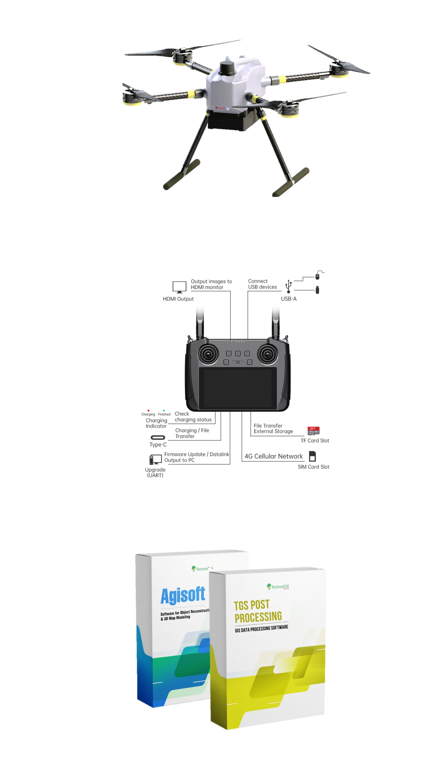
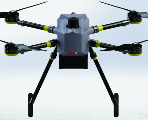
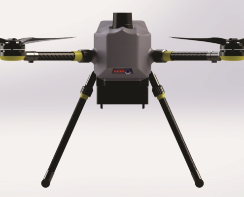
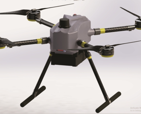
NiVO Quadrone Pro
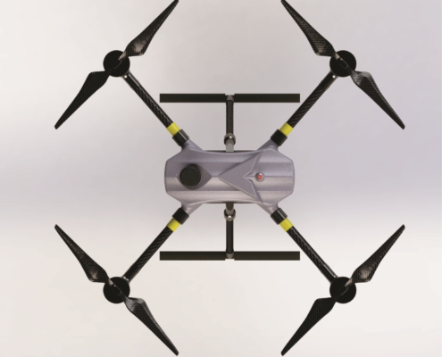
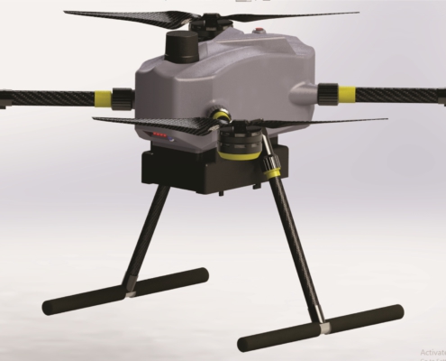
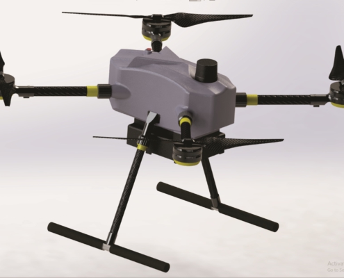
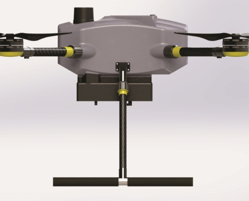
NiVO Quadrone Pro is a professional-grade drone specifically designed for mapping, remote sensing, and high-precision 3D modeling. With its built-in LiDAR system, NiVO Quadrone Pro delivers unparalleled efficiency and accuracy for applications such as land surveying, infrastructure mapping, forestry, mining, and disaster management.
The NiVO proudly stands as Indonesia’s technologies drone with a TKDN certification exceeding 25%, combining local excellence with global technology standards.

