Indonesia Catalogue Expo and Forum 2024: Connecting Innovation and Business Opportunities at JIEXPO Kemayoran

Indonesia Catalogue Expo and Forum 2024: Connecting Innovation and Business Opportunities at JIEXPO Kemayoran – From May 29 to May 31, 2024, JIEXPO Kemayoran Jakarta became the focal point for industry players from various sectors with the hosting of the Indonesia Catalogue Expo and Forum 2024. This event served as a strategic platform for companies to market their latest products, services, and innovations, as well as to establish valuable business connections.

Event Highlights

The Indonesia Catalogue Expo and Forum 2024 gathered leading companies from both domestic and international markets, showcasing a wide range of cutting-edge products and technologies. The expo was complemented by discussion forums featuring industry experts, academics, and government representatives, who shared insights on the latest trends and developments in the world of business and technology.

PT Technogis Indonesia at Booth 14A

One of the standout participants was PT TechnoGIS Indonesia, occupying booth number 14A. Known as a key player in the field of technology and infrastructure solutions, PT TechnoGIS Indonesia took advantage of this opportunity to showcase their top products and services.

Latest Innovations and Technologies

At booth 14A, visitors could explore various latest innovations from PT TechnoGIS Indonesia. The company displayed state-of-the-art technology solutions designed to enhance the efficiency and quality of infrastructure in Indonesia. The showcased products included intelligent traffic management systems, solutions for sustainable infrastructure development, and information technology that supports effective project management.

Discussions and Networking

In addition to showcasing products, PT TechnoGIS Indonesia actively participated in various discussion sessions and networking events during the expo. Company representatives were ready to engage with visitors, providing detailed explanations about their products and services, and discussing potential business collaborations. This was a golden opportunity for other companies and visitors to gain a deeper understanding of PT TechnoGIS Indonesia’s capabilities and strengths.

Discussion Forums

The discussion forums held during the expo covered a range of important topics such as industrial digitalization, sustainable infrastructure development, and business strategies in the technological era. PT TechnoGIS Indonesia also participated in several discussion sessions, sharing their experiences and insights on implementing advanced technology in various infrastructure projects.

Closing

The Indonesia Catalogue Expo and Forum 2024 at JIEXPO Kemayoran was not only an exhibition of technology and innovation but also a meeting point for professionals and entrepreneurs to share ideas and establish strategic collaborations. PT TechnoGIS Indonesia’s participation in this event reaffirmed their commitment to continuous innovation and support for better infrastructure development in Indonesia. Don’t miss the chance to visit booth 14A and explore the advanced solutions offered by PT TechnoGIS Indonesia.

Korea – Indonesia 2024 Land Infrastructure and Transportation Industry Business Matching: Opening Opportunities for Strategic Collaboration

Korea – Indonesia 2024 Land Infrastructure and Transportation Industry Business Matching: Opening Opportunities for Strategic Collaboration – On May 28, 2024, the JW Marriott Hotel Jakarta witnessed an important event that brought together stakeholders in the land infrastructure and transportation industry from Korea and Indonesia. The event, titled “Korea – Indonesia 2024 Land Infrastructure and Transportation Industry Business Matching,” was designed to strengthen bilateral relations and create strategic business cooperation opportunities between the two countries.

Strategic Meeting

One of the key moments of this event was the meeting between PT Technogis Indonesia and two renowned Korean companies, Movements Inc. and Allforland Co., Ltd. This meeting served not only as a business networking opportunity but also as a platform to discuss concrete and sustainable collaboration plans.

PT TechnoGIS Indonesia

PT TechnoGIS Indonesia is a leading company in technology and infrastructure solutions in Indonesia. With extensive experience and capabilities, PT TechnoGIS is committed to supporting the development of modern and sustainable infrastructure in Indonesia. In this meeting, PT TechnoGIS introduced various ongoing and upcoming projects and initiatives, showcasing their readiness to collaborate with international partners.

Movements Inc.

Movements Inc. is a Korean company specializing in transportation and traffic management systems. With advanced technology and the latest innovations, Movements Inc. offers solutions that can enhance the efficiency and safety of transportation in urban and other areas. The discussion with PT TechnoGIS Indonesia focused on how Movements Inc.’s technology could be integrated into transportation projects in Indonesia to improve the quality and efficiency of the local transportation system.

Allforland Co., Ltd.

Allforland Co., Ltd. is a company engaged in land development and infrastructure. The company has a portfolio of projects that include residential development, industrial areas, and other public infrastructure. In this meeting, Allforland Co., Ltd. discussed potential collaborations with PT TechnoGIS Indonesia in developing infrastructure projects in Indonesia, including the construction of integrated areas that can support local economic growth.

Discussions and Collaboration Plans

During the meeting sessions, the three companies discussed various important topics, including innovative technologies, project implementation strategies, and business models that could be used to support this cooperation. PT TechnoGIS Indonesia proposed several potential projects that require the expertise and technology of the two Korean companies.

These discussions resulted in several action plans and initial commitments to conduct joint feasibility studies and the formation of a working team tasked with formulating concrete steps to realize this collaboration. All parties agreed that this cooperation would not only bring economic benefits but also contribute to better and more sustainable infrastructure development in Indonesia.

Closing

The Korea – Indonesia 2024 Land Infrastructure and Transportation Industry Business Matching event marked an important milestone in the cooperative relationship between Indonesia and Korea. Through meetings like this, it is hoped that more joint initiatives and projects can be realized, bringing long-term benefits to both countries. PT TechnoGIS Indonesia, Movements Inc., and Allforland Co., Ltd. have shown a strong commitment to working together and creating innovative and effective infrastructure and transportation solutions for a better future.


TechnoGIS to Showcase Cutting-Edge Hydrographic Solutions at World Water Forum 2024 in Bali

TechnoGIS, a leading provider of innovative geospatial solutions, will be participating in the highly anticipated World Water Forum 2024 in Bali, Indonesia. The forum, taking place from 18 to 24 May 2025, is a global platform for policymakers, scientists, and industry leaders to address the critical challenges facing the world’s water resources. This year’s theme, “WATER FOR SHARED PROSPERITY”, underscores the urgency of finding sustainable solutions to water scarcity, pollution, and climate change impacts. TechnoGIS, dedicated to advancing geospatial technology for a better future, will be showcasing its expertise in hydrographic solutions at the forum.

A Pioneer in Geospatial Technology

TechnoGIS has a strong track record of delivering innovative geospatial solutions across various sectors, including water resources management. The company’s commitment to excellence is reflected in its comprehensive portfolio of products and services, ranging from data acquisition and processing to advanced analysis and visualization.

TechnoGIS at the World Water Forum: Focus on Hydrography

At the World Water Forum 2024, TechnoGIS will be presenting its advanced hydrographic solutions, highlighting the company’s dedication to enhancing our understanding of the world’s oceans and waterways. Mr. Cahyo, TechnoGIS’s Business Development expert in Hydrography, will be leading the company’s participation at the forum. Mr. Cahyo brings extensive experience in the field and will be available to discuss the company’s cutting-edge solutions, including: Blue Marine, a revolutionary software platform for processing satellite imagery for marine applications. Blue Marine empowers users to extract valuable insights from satellite data, enabling accurate mapping of coastal zones, monitoring changes in water quality, and identifying potential threats to marine ecosystems.

Blue Marine Echosounder, a state-of-the-art device for conducting bathymetric surveys. This robust and reliable tool provides high-resolution data on water depth, bottom topography, and underwater features, essential for navigation, dredging operations, and underwater infrastructure development.

TechnoGIS’s Commitment to Sustainable Water Management

TechnoGIS believes that technology plays a crucial role in addressing the global water crisis. The company’s hydrographic solutions provide valuable data and insights that enable informed decision-making in water resource management. By empowering stakeholders with accurate and timely information, TechnoGIS contributes to the development of sustainable water policies and practices.

TechnoGIS Indonesia at The 8th Drone World Congress 2024 in Shezhen, China

Shezhen, China, May 26, 2024. In 2024, The 8th Drone World Congress in Shenzhen, China, from 24 to 26 May 2024. This event publishes, distributes, and circulates pamphlets, newsletters, periodicals, and other literature on drones in furtherance of the objectives and activities of the federation, and is a platform bridge for the industry members and government within the drone policy and professional consultant guidelines. It holds exhibitions, conferences, symposiums, seminars, and forums, and conducts training courses to benefit members with vested interests in the drone industry.

Drone World Congress highlights various aspects of the drone industry, including the latest (drone) technology innovations, practical applications in multiple sectors such as survey mapping, and security, and discussions related to regulations and policies related to the use of drones. The congress also features a technology exhibition, presentations by industry experts, and networking opportunities for exhibitors to share knowledge and experiences around the world of drones.

INTRODUCE DRONE TECHNOLOGY IN THE GEOSPATIAL WORLD


At the prestigious 8th Drone World Congress 2024 in Shenzhen, China, we also had the opportunity to be a speaker represented by the CEO of PT Techno GIS Indonesia, Mr. Ir. Sarono, M.Eng, who presented a presentation with the theme “Potential of Drone Technology in the Indonesian Geospatial Industry”. The Indonesian geospatial industry has many opportunities to maximize the potential of drones with the ability to collect accurate and detailed data quickly and efficiently, drones have opened the door to various applications in mapping, environmental monitoring, surveying, and many more. Although the potential of drones in the Indonesian geospatial industry is enormous, several challenges still need to be overcome. One of them is the regulation related to the use of drones, including flight permits and data privacy. In addition, the availability of skilled workers in operating and analyzing drone data is also an important factor.

TechnoGIS Indonesia’s participation in The 8th Drone World Congress 2024 proves the company’s commitment to continue innovating and contributing to developing the geospatial industry in Indonesia. TechnoGIS Indonesia is committed to providing the best geospatial solutions for its customers, and drone technology is one of the company’s main focuses.


TechnoGIS Indonesia at World Geospatial Forum 2024 in Rotterdam

Rotterdam, May 19, 2024. In 2024, The Geospatial World Forum takes place in Rotterdam, The Netherlands, from 13 to 16 May 2024. Delegations from multiple entities representing governments, private companies, researchers, academics, professionals, and innovators from across the world attend this premier event. As a showcase of geospatial development and innovation, GWF is a perfect event that offers opportunities for future development, mutual engagements, and valuable global networking.

GEOSPATIAL TRANSITION: POWERING THE WORLD ECONOMY
Geospatial Technology has taken place in the heart of the growing digital economy and society, as John Renard, President-Utilities and Geospatial, Cyient, UK, said in 2018. The global geospatial economy has driven the global economy into a new stage. In the last three years, the geospatial industry has been projected to have a value of around $512 billion. In addition, the direct socioeconomic impact is also valued at around $7.5 Trillion and attracted $202 Billion in direct investment (GWF, 2024). Geospatial Technology will play a central role in future development, i.e., energy, communication, Infrastructure, environment, climate changes, land administration, and so on. In the next five years, the potential value of the world economy will quadruple compared to the current condition with the advancement of geospatial technology.

TechnoGIS: Innovating Geospatial Solutions

TechnoGIS, a progressive startup from Indonesia, is making significant strides in the geospatial technology sector. The company is committed to developing cutting-edge geospatial solutions that address various industry needs. Their innovative approaches and technological expertise have positioned them as a rising star in the geospatial community. During the forum, TechnoGIS had the opportunity to engage with global geospatial leaders and experts.

Networking with International Geospatial Companies

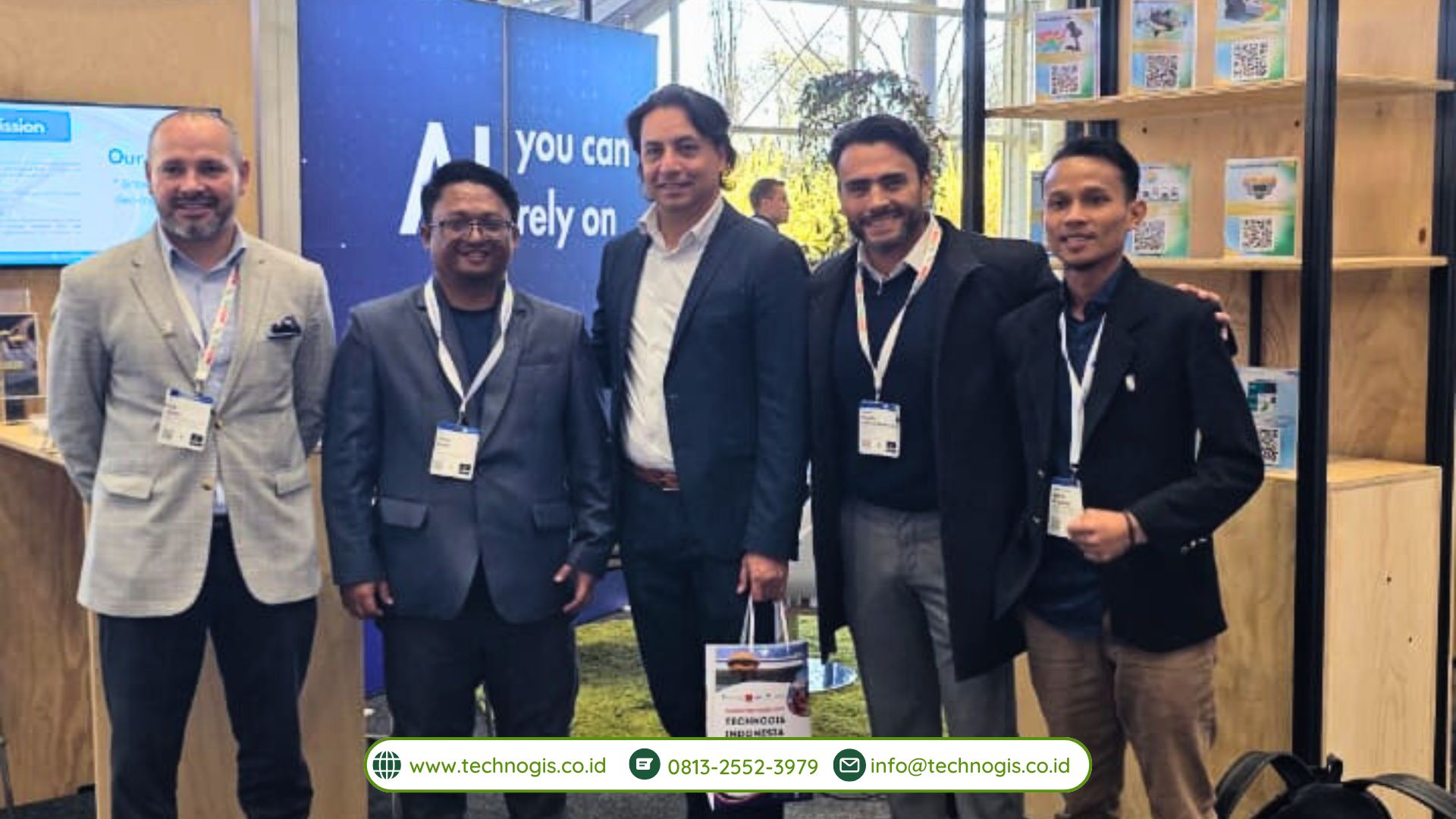
The Geospatial World Forum is a perfect platform for TechnoGIS to connect with representatives from leading geospatial companies worldwide. These interactions opened doors to explore joint ventures and partnerships, fostering a collaborative environment to push the boundaries of geospatial technology. The exchange of ideas and expertise is expected to drive innovation and growth in the sector.
Mr. Jauhari also met with TechnoGIS’s existing international partners, who reinforced TechnoGIS’s commitment to maintaining strong and productive relationships. The discussions focused on expanding current projects and identifying new areas of cooperation to leverage geospatial technology’s potential further. Notably, he met with Prof. Aris Marfai, the Head of the Indonesian Geospatial Information Agency (BIG). “Indonesia is a big Country, and we need the technology, experts, and high-quality human resources to accelerate the mapping projects in Indonesia. Collaboration between local and International companies will increase the geospatial ecosystem in Indonesia,” Marfai said. “We also intend to host the geospatial exhibition in Indonesia by inviting companies, professionals, and researchers to expand the global networking and collaboration for the local companies in Indonesia,” he added. During the meeting, Mr. Jauhari also met with Mr. Rachman Rifai, Head of the Center for Management and Dissemination of Geospatial Information, BIG.

In line with Mr Sarono, the CEO of TechnoGIS, TechnoGIS’s vision is to play a role in the geospatial industry, particularly in Indonesia and, moreover, in the world context. “Our goal is to significantly contribute to the development of geospatial solutions in Indonesia and establish ourselves as the leading geospatial company in Asia,” he stated. TechnoGIS aims to leverage its expertise to support various sectors, including urban planning, disaster management, and environmental conservation, thereby driving sustainable development.

The participation of TechnoGIS in the World Geospatial Forum 2024 highlights TechnoGIS’s commitment to staying at the forefront of geospatial technology. The insights gained and the connections made during the event are expected to fuel the company’s growth and innovation. TechnoGIS is optimistic about the future collaborations that will emerge from this forum, believing that these partnerships will enhance the company’s offerings and contribute to the broader geospatial community. TechnoGIS is poised to make a significant impact in the geospatial industry, both in Indonesia and beyond. The company’s involvement in the World Geospatial Forum 2024 underscores its dedication to innovation, collaboration, and excellence. With a clear vision and strategic partnerships, TechnoGIS is set to lead the way in geospatial technology, aiming to become the best in Asia and a key player on the global stage.

TechnoGIS Participates in Hannover Messe 2024 in Hannover, Germany

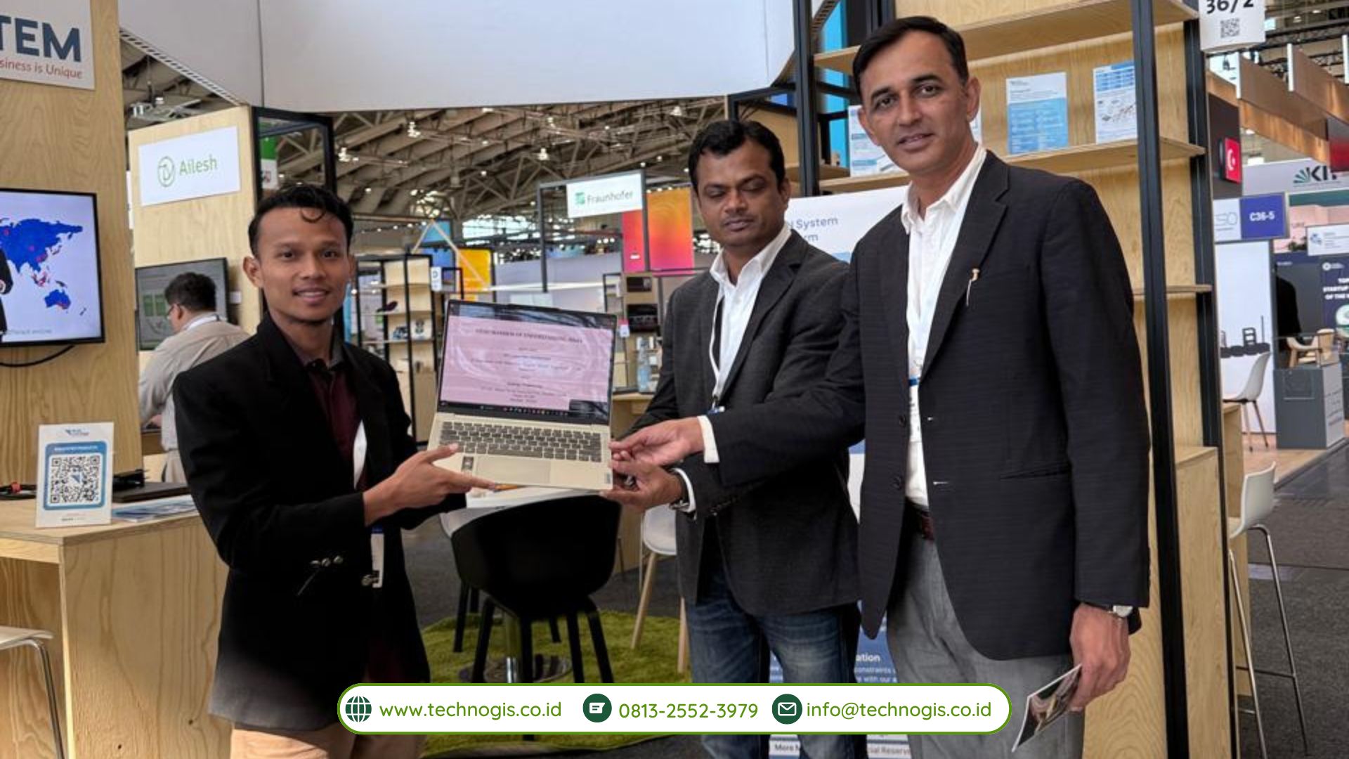
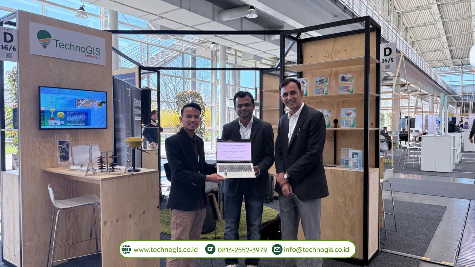
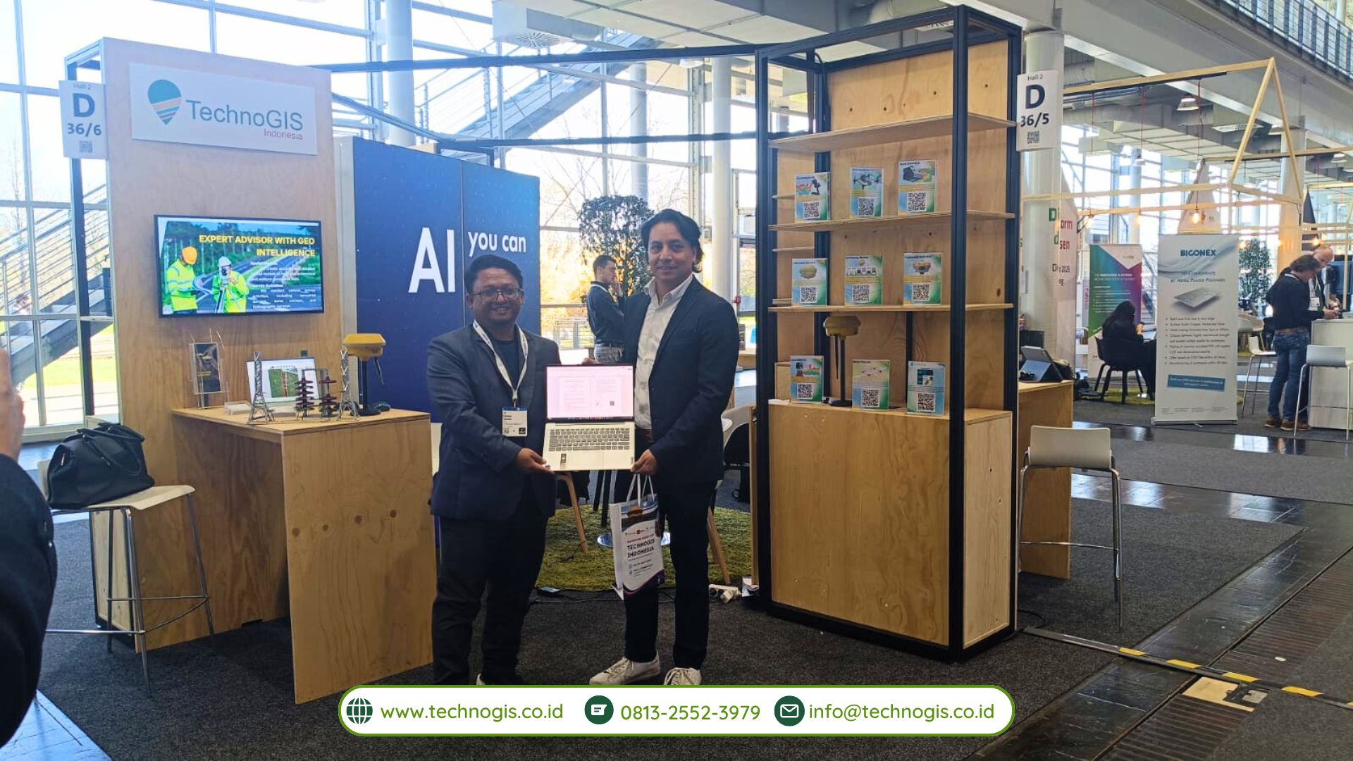
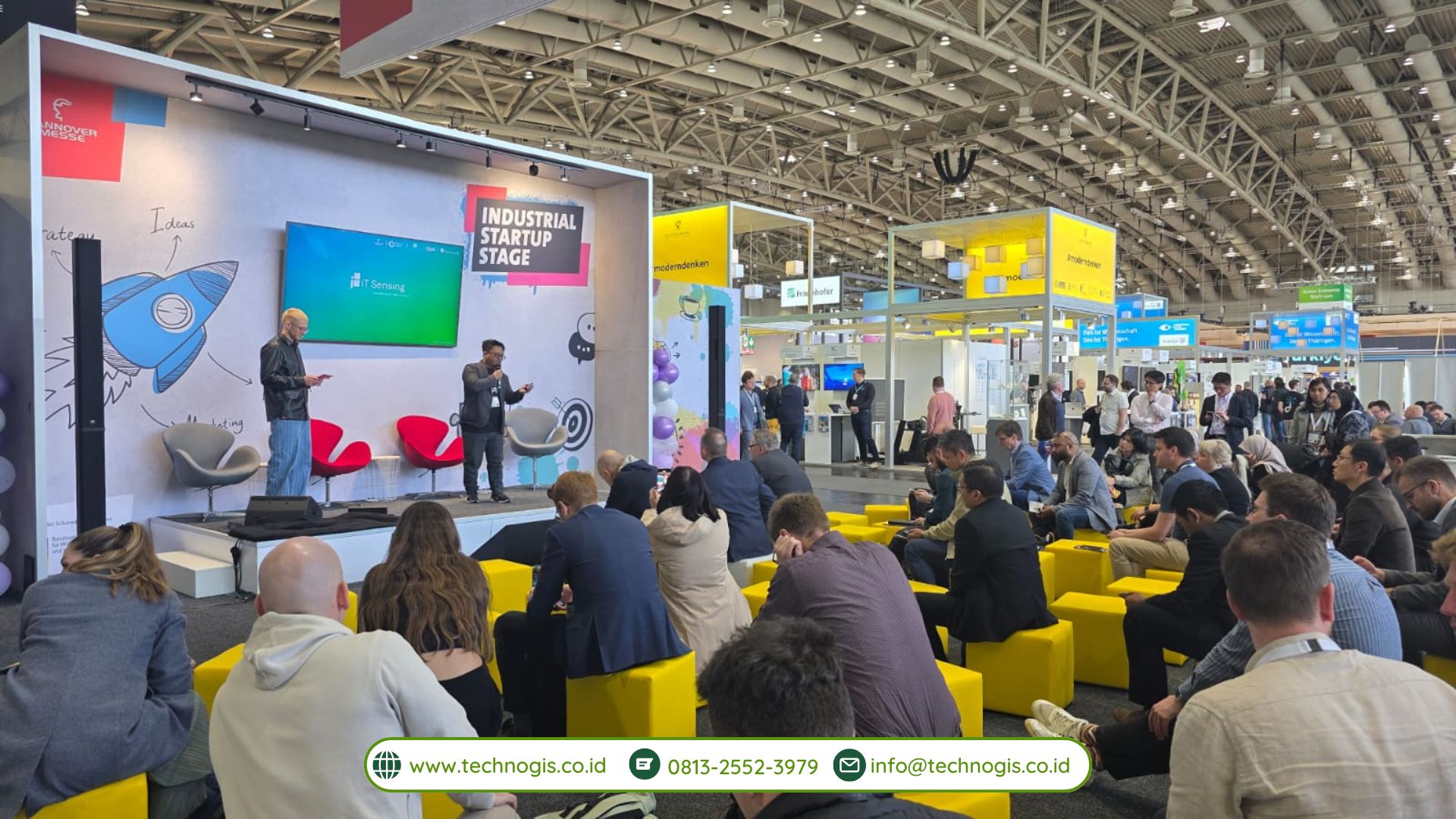
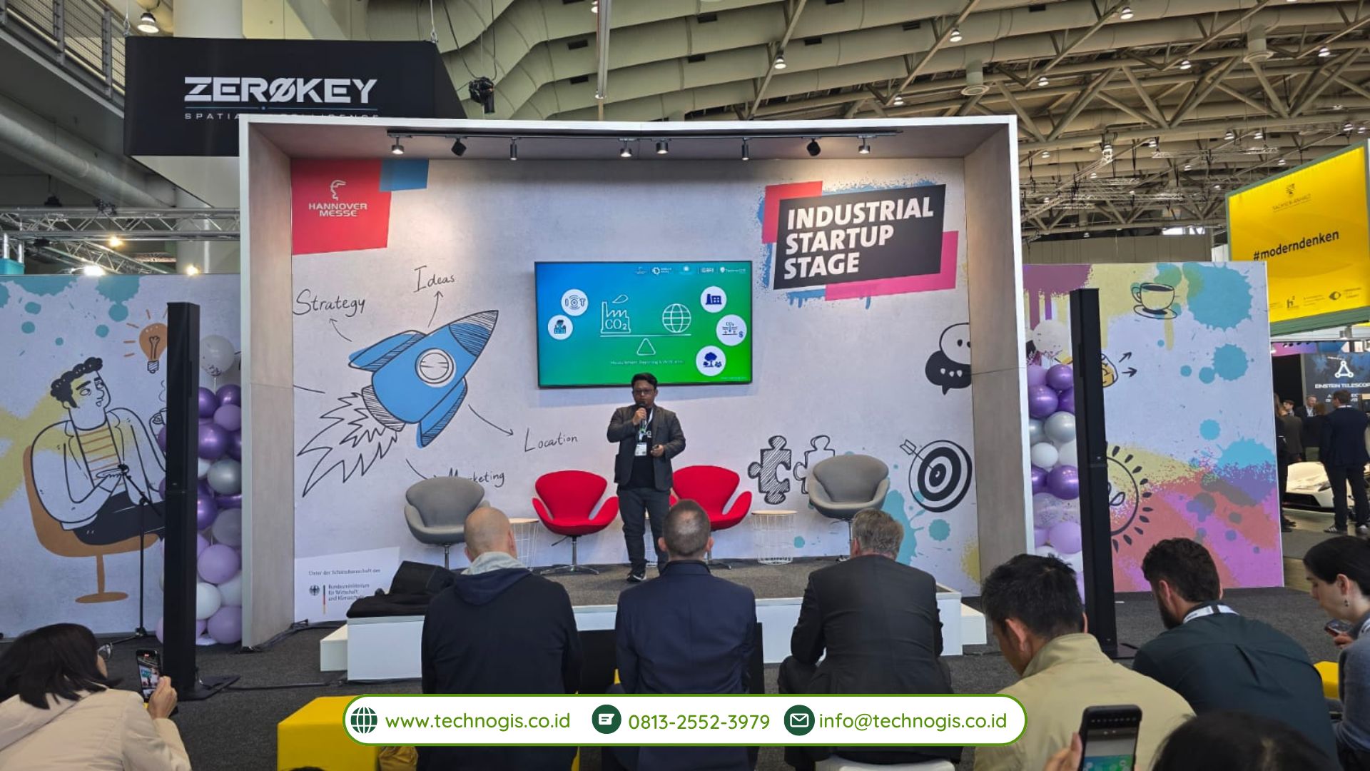
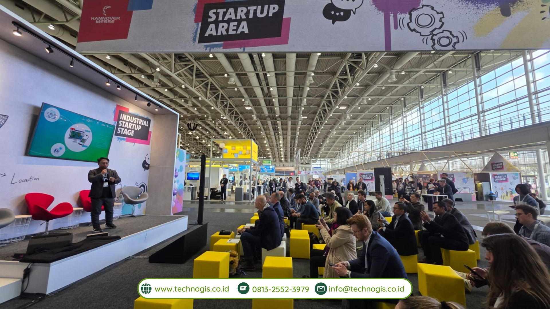
TechnoGIS Participates in Hannover Messe 2024 in Hannover, Germany  – Hannover, May 19, 2024 – TechnoGIS, an innovative geospatial technology company from Indonesia, proudly announces its participation in the Hannover Messe 2024, one of the world’s largest and most influential industrial trade fairs. Represented by Mr. Sarono, CEO of TechnoGIS, the company showcased its cutting-edge geospatial solutions and signed multiple Memoranda of Understanding (MoUs) with leading international companies and organizations.

Hannover Messe 2024: A Global Industrial Platform

Hannover Messe, held annually in Hannover, Germany, is a premier event that attracts over 200,000 visitors and more than 6,000 exhibitors from around the globe. The event serves as a vital platform for companies to display their latest innovations, share knowledge, and establish valuable business connections. The 2024 edition of Hannover Messe focuses on themes such as Industry 4.0, smart technologies, and sustainable industrial solutions, reflecting the evolving landscape of global industries.

About TechnoGIS

TechnoGIS is at the forefront of the geospatial technology sector, offering advanced solutions for various industries including urban planning, environmental management, disaster response, and infrastructure development. The company’s mission is to leverage geospatial data and technology to drive efficient, sustainable, and informed decision-making processes. With a team of skilled professionals and a commitment to innovation, TechnoGIS aims to lead the way in the geospatial industry in Indonesia and beyond.

TechnoGIS at Hannover Messe 2024

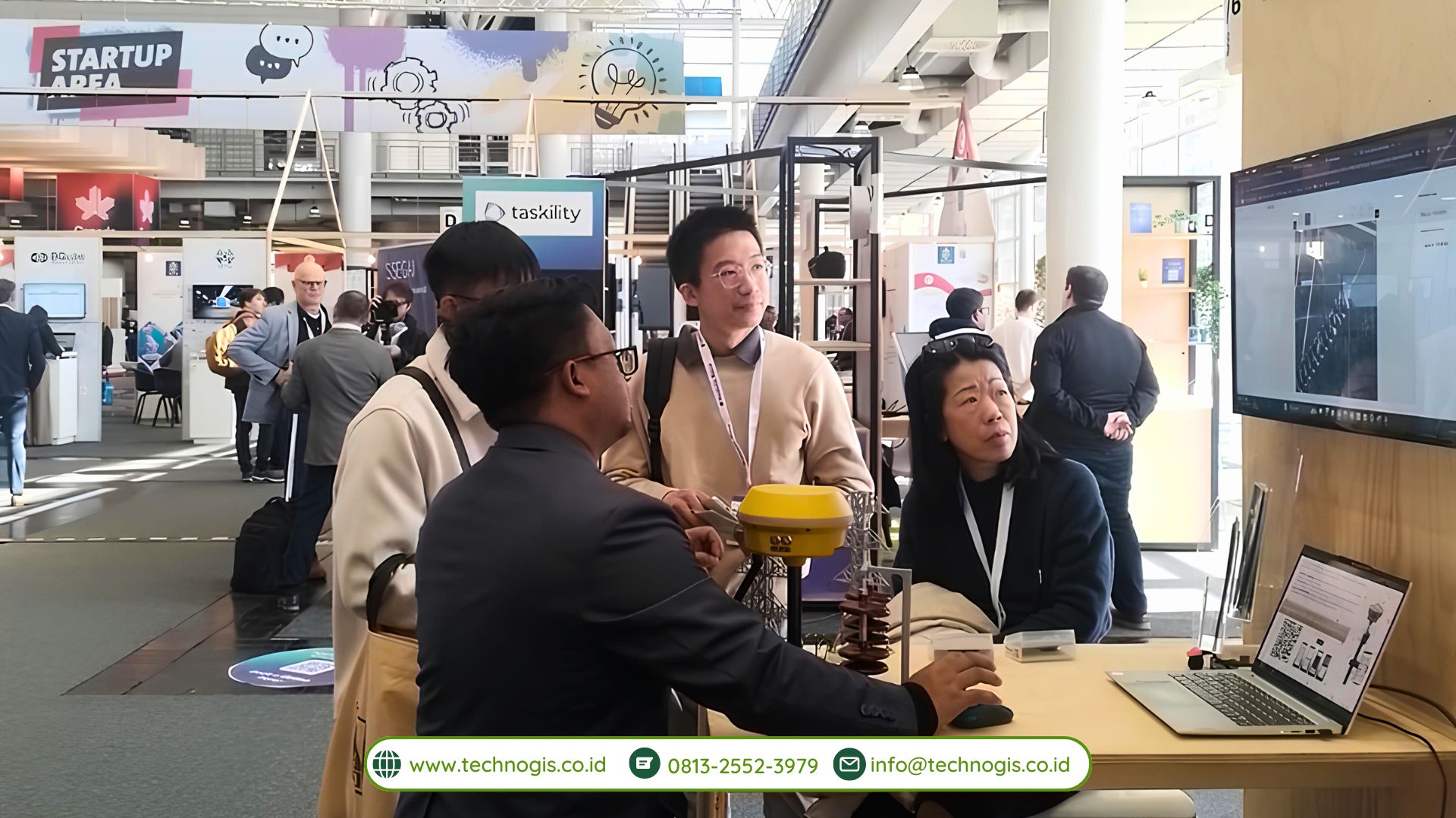
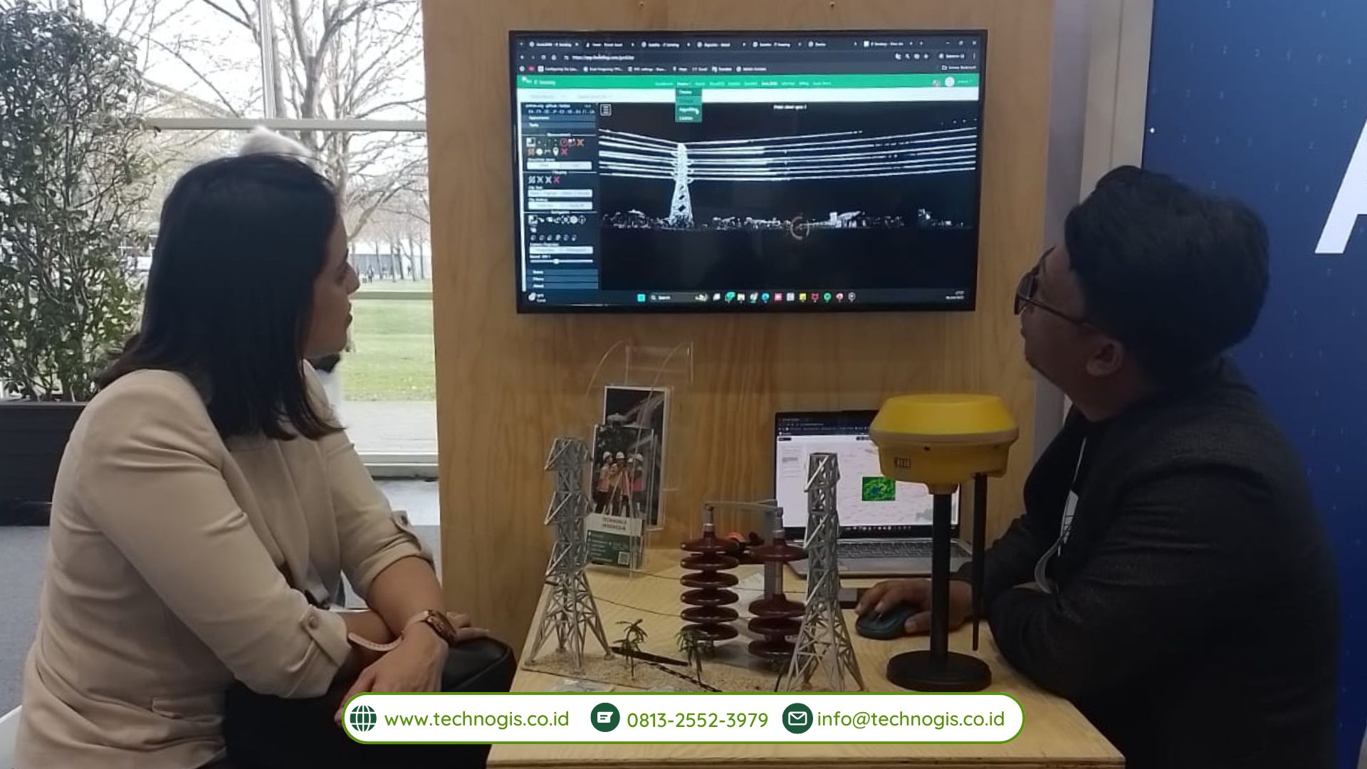
At Hannover Messe 2024, TechnoGIS, under the leadership of CEO Mr. Sarono, presented its latest geospatial technologies and solutions. The company’s booth attracted significant attention from industry professionals, government officials, and potential business partners. TechnoGIS’s participation underscored its commitment to expanding its global presence and exploring new avenues for collaboration.

Significant MoUs Signed

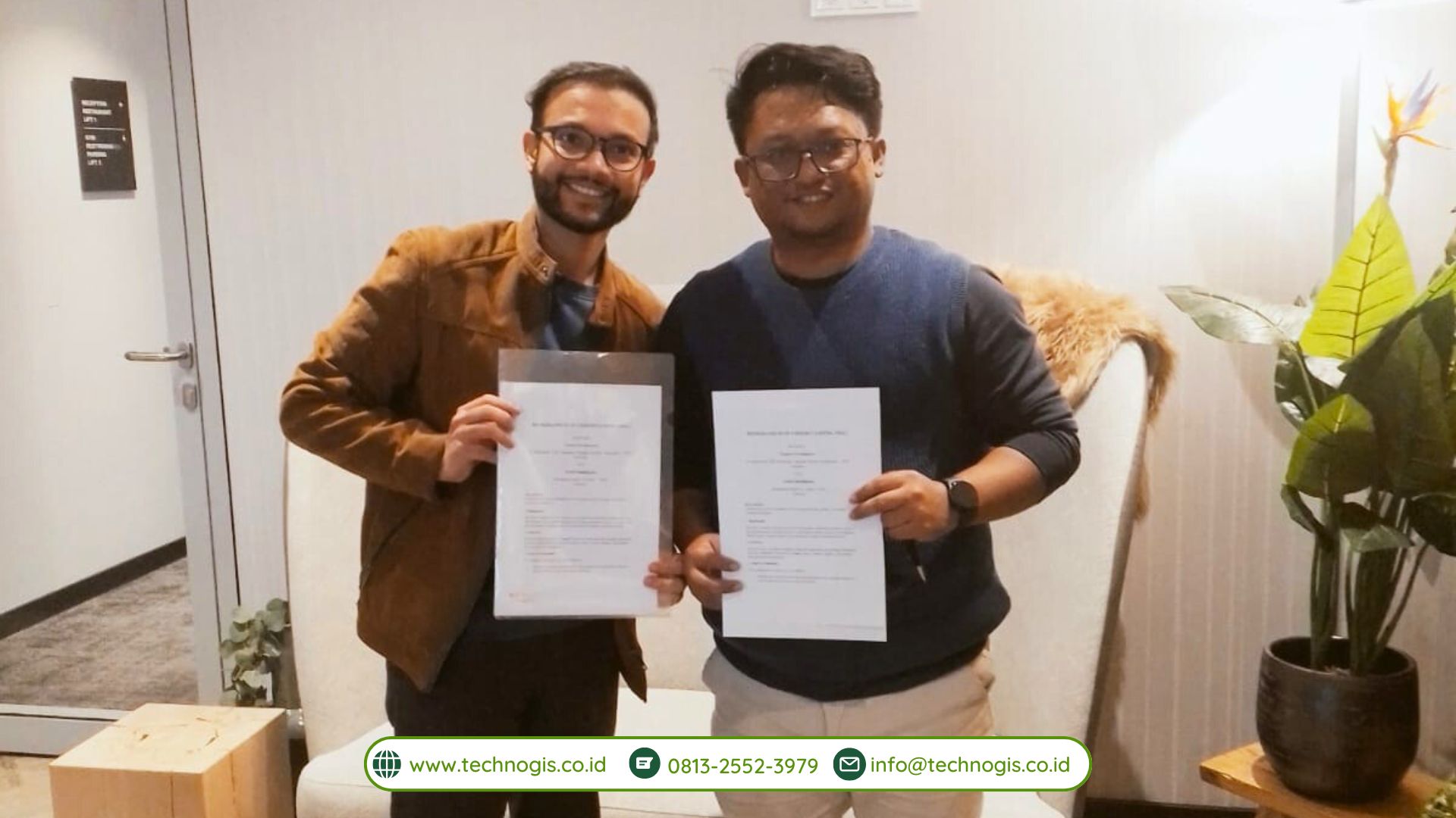
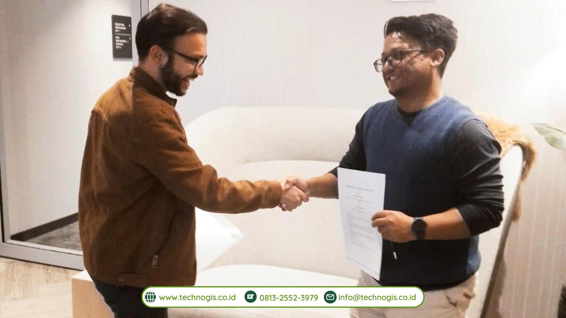
A highlight of TechnoGIS’s participation at Hannover Messe 2024 was the signing of several key Memoranda of Understanding (MoUs) with international partners:

Prenue, South Korea: The MoU with Prenue aims to foster collaboration in developing advanced drone for geospatial applications . This partnership will combine TechnoGIS’s geospatial expertise with Prenue’s cutting-edge drone technology.

Geosun, China: The agreement with Geosun focuses on joint research and development LiDAR  to enhance geospatial data acquisition and analysis capabilities. This collaboration is expected to lead to innovative solutions that will benefit both companies’ client bases.

Fraunhofer Institute for Production Systems and Design Technology (IPK), Germany: The MoU with Fraunhofer IPK involves cooperative efforts in the field of drone monitoring for fire forest in Indonesia. This partnership will leverage Fraunhofer’s extensive research capabilities and TechnoGIS’s practical expertise to create impactful geospatial solutions in disaster management especially fire forest.

Geomares, Netherlands: The collaboration with Geomares aims to improve geospatial communication and dissemination. By working together, the two companies plan to develop platforms that make geospatial information more accessible and useful for various stakeholders. Also open international market for TechnoGIS products such us TGS GNSS, GeoLiDAR, NiVO Drone Mapping and Landcam Multispectral Camera.

Collaboration with Otorita IKN


In a significant move, TechnoGIS also signed an MoU with Otorita IKN, the authority responsible for the development of Indonesia’s new capital city, Nusantara. This agreement focuses on the implementation of advanced geospatial monitoring systems to oversee land use and environmental changes in the new capital area. The collaboration aims to ensure sustainable development and effective land management practices as the new capital evolves.

Future Collaboration Prospects

Mr. Sarono expressed his enthusiasm about the opportunities these partnerships bring. “The MoUs signed at Hannover Messe 2024 represent a major milestone for TechnoGIS. We are excited to work with such esteemed international partners and believe that these collaborations will drive innovation and excellence in the geospatial sector. Our goal is to leverage these partnerships to enhance our solutions and contribute significantly to the global geospatial community.”

TechnoGIS envisions these partnerships as a pathway to pioneering new geospatial technologies and applications. The company aims to combine its expertise with the knowledge and resources of its partners to address complex challenges in various industries. By fostering a collaborative environment, TechnoGIS hopes to create solutions that are not only technologically advanced but also socially and environmentally responsible.

Looking Ahead

The participation of TechnoGIS in Hannover Messe 2024 marks a significant step in the company’s journey towards becoming a global leader in geospatial technology. The insights gained and the connections made during the event are expected to propel TechnoGIS to new heights of innovation and success. The company is committed to continuing its efforts to expand its international footprint and to establish itself as a trusted partner in the geospatial industry.


Conclusion

TechnoGIS’s presence at Hannover Messe 2024 and the signing of strategic MoUs highlight the company’s dedication to growth, innovation, and collaboration. These agreements are not only a testament to TechnoGIS’s capabilities but also an indication of its vision for the future. By working closely with international partners, TechnoGIS aims to push the boundaries of geospatial technology and to deliver solutions that make a tangible difference in the world

Partnership with GI E&S from Korea, TechnoGIS Indonesia Want to Bring the Geospatial Technology in Atmosphere and Climate Sectors

TechnoGIS, a leading geospatial technology company based in Indonesia, has announced an exciting new partnership with GI E&S, a prominent firm from Korea known for their expertise in Earth and Space data solutions. This collaboration aims to deliver innovative geospatial solutions that utilize satellite imagery to address critical issues related to geomaritime and geoclimate in Indonesia.

The partnership between TechnoGIS and GI E&S represents a significant step forward in harnessing the power of geospatial data to make informed decisions and drive positive change. By combining their respective strengths, the two companies are poised to revolutionize the way geospatial information is used to tackle challenges in the maritime and climate sectors.

One of the key focus areas of this partnership is geomaritime solutions. With Indonesia being an archipelagic nation comprising thousands of islands, the need for accurate geospatial data to support maritime activities is crucial. TechnoGIS and GI E&S will work together to develop advanced technologies that provide real-time insights into maritime navigation, resource management, and environmental monitoring.

In addition to geomaritime solutions, the collaboration will also address geoclimate challenges in Indonesia. With the increasing impact of climate change on the region, there is a growing demand for innovative approaches to monitor and mitigate environmental risks. By leveraging satellite imagery and geospatial analytics, TechnoGIS and GI E&S aim to provide decision-makers with the tools they need to better understand and respond to changing climate patterns.

“We are thrilled to partner with GI E&S to bring cutting-edge geospatial solutions to Indonesia,” said Mr Sarono, CEO of TechnoGIS. “By combining our expertise in geospatial technology with GI E&S’s domain knowledge in Earth and Space data, we are confident that we can make a positive impact on critical issues such as geomaritime and geoclimate in our country.”

The partnership between TechnoGIS and GI E&S underscores the importance of collaboration in driving innovation and creating sustainable solutions for pressing global challenges. By working together, the two companies aim to unlock the full potential of geospatial technology to build a more resilient and sustainable future for Indonesia and beyond.

For more information about the TechnoGIS and GI E&S partnership and their work on geospatial solutions for geomaritime and geoclimate in Indonesia, please visit their respective websites or contact their representatives directly.

TechnoGIS join on Indonesia Bussines Matching 2024 “Belanja Produk Dalam Negeri” in Bali and Reach Potential 1.5 Million Rupiah

TechnoGIS, a trailblazing geospatial technology company, is set to make waves at the upcoming Indonesia Business Matching 2024 event themed “Belanja Produk Dalam Negeri” in Bali. The company is geared up to showcase its cutting-edge spatial analysis solutions and introduce the revolutionary TGS low-cost mapping services that promise to revolutionize the industry while providing access to potential customers at an affordable price point of 1.5 million rupiah.

The participation of TechnoGIS at the Indonesia Business Matching 2024 event underscores the company’s commitment to supporting local businesses and driving innovation in the geospatial technology sector. By bringing to the forefront its spatial analysis expertise and the TGS low-cost mapping services, TechnoGIS is poised to offer attendees a glimpse into the future of geospatial solutions.

“We are excited to be a part of Indonesia Business Matching 2024 and to showcase our latest innovations in spatial analysis and mapping services,” said a representative from TechnoGIS. “Our goal is to empower businesses with the tools they need to make informed decisions and unlock new opportunities through geospatial intelligence.”

The TGS low-cost mapping services introduced by TechnoGIS are designed to provide businesses with a cost-effective solution for their mapping needs. By leveraging advanced spatial analysis techniques, the company is able to offer high-quality mapping services at a fraction of the traditional cost, making it accessible to a wider range of businesses and industries.

“At TechnoGIS, we believe in democratizing access to geospatial technology and empowering businesses of all sizes to harness the power of spatial analysis,” added the representative. “Our TGS low-cost mapping services are a testament to our dedication to driving innovation and creating value for our customers.”

Through its participation in the Indonesia Business Matching 2024 event, TechnoGIS aims to connect with local businesses, showcase its capabilities in spatial analysis and mapping, and demonstrate how geospatial technology can drive growth and success in the Indonesian market.

For businesses looking to unlock new opportunities, make informed decisions, and enhance their operations through geospatial intelligence, a visit to the TechnoGIS booth at Indonesia Business Matching 2024 in Bali is a must. Discover the future of geospatial technology and see firsthand how spatial analysis and TGS low-cost mapping services can transform your business.

TechnoGIS CEO, Mr. Sarono, Appointed as Research and Innovation Lead in Starfindo (Asosiasi Startup for Industry Indonesia): Pioneering Start-up for Industry Advancement in Indonesia

Starfindo (Asosiasi Startup for Industry Indonesia), a leading startup dedicated to catalyzing innovation within the Indonesian industrial sector, proudly announces the appointment of Mr. Sarono, CEO of TechnoGIS, as its Research and Innovation Lead. Effective immediately, Mr. Sarono will spearhead strategic initiatives aimed at fostering research collaboration, industry-academic partnerships, and societal impact through innovative programs.

With an illustrious career spanning decades in the technology and innovation landscape, Mr. Sarono brings a wealth of experience and expertise to his new role. As the former CEO of TechnoGIS, a renowned technology solutions provider, he has consistently demonstrated visionary leadership and a commitment to driving impactful change through cutting-edge technologies. In his capacity as the Research and Innovation Lead at Starfindo, Mr. Sarono will focus on pioneering initiatives that bridge the gap between academia, industry, and society. Among the flagship programs under his leadership are:

1. Starfindo Goes to Campus: This groundbreaking initiative aims to connect industry professionals with students and faculty members at leading academic institutions across Indonesia. By organizing workshops, seminars, and collaborative projects, Starfindo seeks to foster a culture of innovation and entrepreneurship among the next generation of talent.

2. Starfindo Research Collaboration: Leveraging the collective expertise of industry leaders, academic researchers, and technology innovators, this program will facilitate interdisciplinary research collaborations. By identifying key challenges facing the industry and harnessing the power of collaboration, Starfindo aims to drive breakthrough innovations that address real-world problems.

3. Starfindo Risearch for Society: Recognizing the importance of technology-driven solutions in addressing societal challenges, this initiative will focus on leveraging research and innovation to create positive social impact. From healthcare and education to environmental sustainability, Starfindo is committed to using its resources to improve the lives of people across Indonesia.

Commenting on his new role, Mr. Sarono expressed his enthusiasm for the opportunity to drive meaningful change within the Indonesian industrial landscape. He stated, “I am honored to join Starfindo as the Research and Innovation Lead and look forward to collaborating with industry stakeholders, academic institutions, and community partners to drive innovation and foster sustainable development. Together, we have the opportunity to unlock new possibilities and create a brighter future for Indonesia.”

Mr. Sarono’s appointment comes at a pivotal moment for Starfindo as the startup continues to expand its presence and influence within the Indonesian innovation ecosystem. With his visionary leadership and track record of success, Mr. Sarono is poised to lead Starfindo to new heights of excellence and impact.

About Starfindo:
Starfindo is a pioneering startup dedicated to driving innovation and advancement within the Indonesian industrial sector. Through strategic partnerships, collaborative research initiatives, and impactful programs, Starfindo aims to catalyze positive change and foster sustainable development in Indonesia.

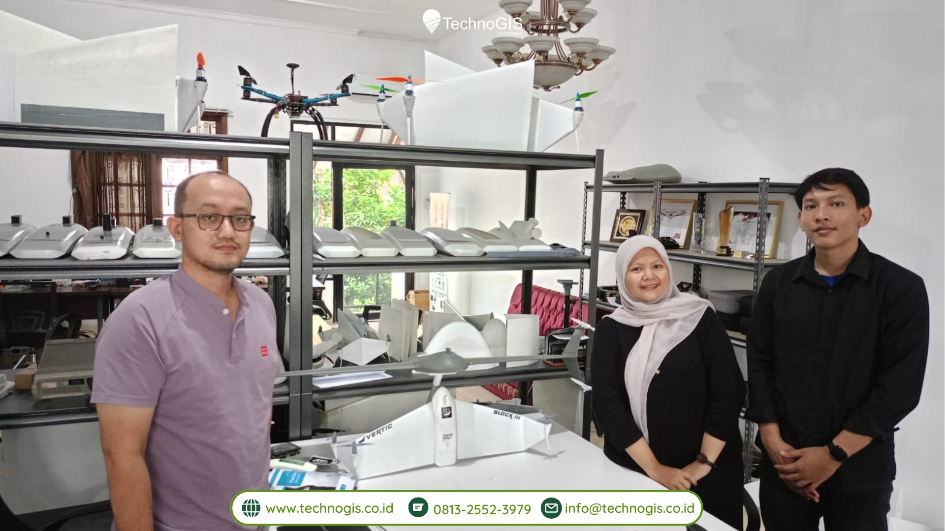
TechnoGIS Partners with D4 SIG, Sekolah Vokasi UGM to Validate and Develop TGS Low-Cost RTK for Rural Mapping in Indonesia

TechnoGIS, a leading provider of geographic information systems (GIS) solutions, has announced a strategic partnership with D4 SIG, Sekolah Vokasi UGM (D4 Spatial Information Engineering, Vocational School, Universitas Gadjah Mada) to validate and develop TGS Low-Cost Real-Time Kinematic (RTK) technology for rural mapping in Indonesia. This collaboration aims to enhance the accessibility and accuracy of mapping solutions, particularly in rural areas, to support sustainable development initiatives across the country.

The partnership between TechnoGIS and D4 SIG, Sekolah Vokasi UGM, marks a significant step forward in leveraging advanced geospatial technologies to address the challenges faced by rural communities in Indonesia. By combining TechnoGIS’s expertise in GIS solutions with D4 SIG’s research capabilities and academic insights, the collaboration seeks to bridge the gap between technological innovation and practical application in rural mapping.

The TGS Low-Cost RTK technology developed by TechnoGIS offers a cost-effective and reliable solution for real-time positioning and mapping, particularly in remote and underserved areas. By utilizing low-cost hardware and open-source software, TGS Low-Cost RTK provides an affordable alternative to traditional RTK systems, making it accessible to a wider range of users, including small-scale farmers, local governments, and community organizations.

As part of the partnership, D4 SIG, Sekolah Vokasi UGM, will play a crucial role in validating and refining the TGS Low-Cost RTK technology through field testing and research activities. Drawing on their expertise in spatial information engineering and geospatial analysis, the academic team will collaborate closely with TechnoGIS to assess the performance, accuracy, and usability of the technology in real-world rural mapping scenarios.

“We are excited to collaborate with D4 SIG, Sekolah Vokasi UGM, to validate and further develop our TGS Low-Cost RTK technology for rural mapping applications in Indonesia,” said Mr. Sarono, CEO of TechnoGIS. “This partnership underscores our commitment to leveraging innovation to address the unique challenges faced by rural communities and contribute to sustainable development efforts across the country.”

Dr. Taufik, Head of D4 SIG, Sekolah Vokasi UGM, expressed her enthusiasm about the collaboration, stating, “As an academic institution dedicated to advancing spatial information engineering, we are thrilled to partner with TechnoGIS to validate and enhance the TGS Low-Cost RTK technology. This collaboration not only provides valuable learning opportunities for our students but also contributes to the advancement of geospatial technologies in Indonesia.”

The validation and development of the TGS Low-Cost RTK technology will involve extensive field testing in collaboration with local communities, government agencies, and non-profit organizations. By gathering feedback and insights from end-users, TechnoGIS and D4 SIG, Sekolah Vokasi UGM, aim to refine the technology to better meet the needs and requirements of rural mapping stakeholders.

The partnership between TechnoGIS and D4 SIG, Sekolah Vokasi UGM, reflects a shared commitment to harnessing the power of geospatial technologies for social impact and sustainable development. By validating and developing the TGS Low-Cost RTK technology for rural mapping in Indonesia, the collaboration aims to empower local communities, improve decision-making processes, and support inclusive development initiatives across the country.

About TechnoGIS:
TechnoGIS is a leading provider of geographic information systems (GIS) solutions, offering a wide range of products and services to clients across various industries. With a focus on innovation, quality, and customer satisfaction, TechnoGIS is committed to delivering cutting-edge solutions that empower organizations to harness the power of spatial data for informed decision-making.

About D4 SIG, Sekolah Vokasi UGM:
D4 SIG, Sekolah Vokasi UGM (D4 Spatial Information Engineering, Vocational School, Universitas Gadjah Mada) is an academic institution dedicated to advancing spatial information engineering through education, research, and community engagement. With a focus on practical applications and interdisciplinary collaboration, D4 SIG prepares students to become skilled professionals in the field of geospatial technologies.