Revolutionizing Drone for Geospatial

NiVO Aerofly Fixedwing

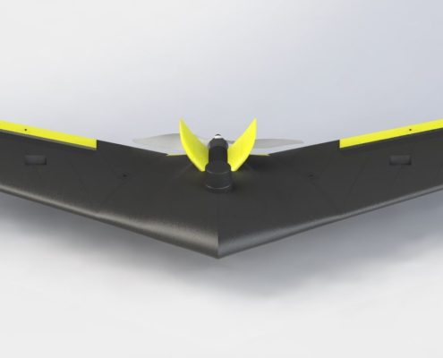
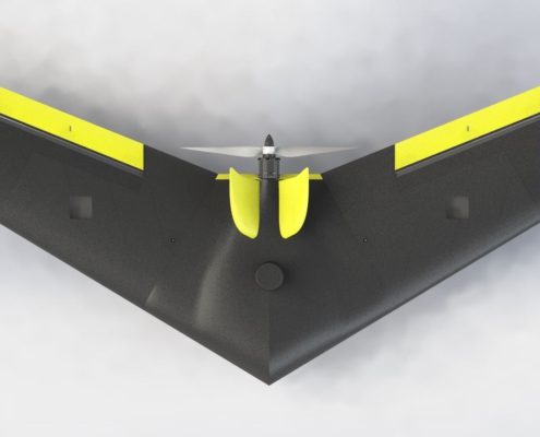
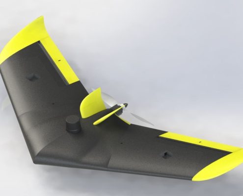
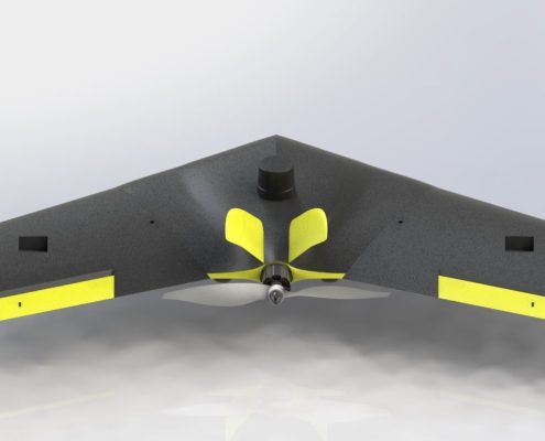
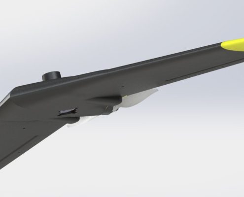
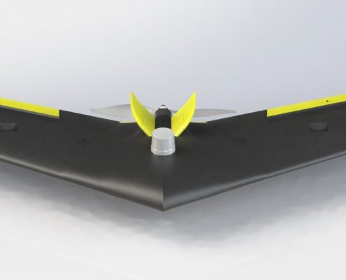
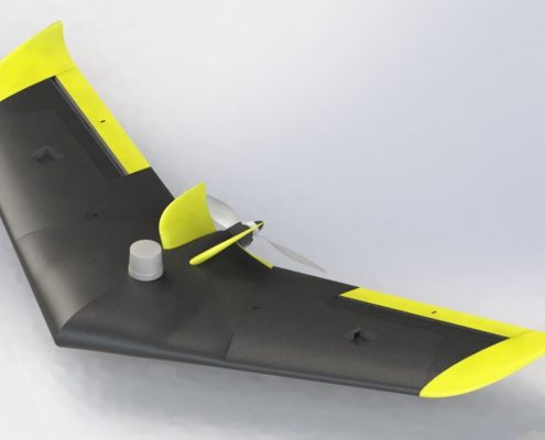
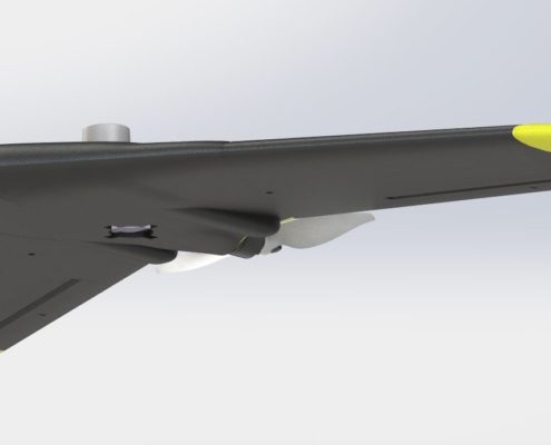
The NiVO Aerofly is a state-of-the-art mini fixed-wing UAV designed for precision photogrammetry and aerial mapping. With a wingspan of 1100mm and a unique FlyWing model, this UAV is compact, efficient, and engineered to deliver unmatched performance.

The NiVO proudly stands as Indonesia’s technologies drone with a TKDN certification exceeding 25%, combining local excellence with global technology standards.

High Performance

Aerial Mapping with RTK or PPK high accuracy GNSS.

30 Minute Endurance

Long range mapping max 30 minute for mapping.

IoT Ready

Stream data to TGIS dashboard realtime using cloud technology.

Lest talk about features

Keys & Main Feature

Experience the future of geospatial intelligence with NiVO Aerofly Drone Mapping—your ultimate partner in innovation, precision, and environmental stewardship.

Wingspan: 109 mm
Flightime: +-30 minutes
Max Takeoff: 2,1 kg
Max Payload: 1,2 kg
Cruise: 16 m/s
Payload: RGB Camera

GNSS type: Multi Frequency GNSS with 184 Channel, GPS L1C/A L2C, GLO L1OF L2OF, GAL E1B/C E5b, BDS B1I B2I, QZSS L1C/A L2C.
GNSS Convergence time: RTK <10 sec.
Nav. update rate:
RTK up to 20 Hz1.
GNSS Position accuracy: RTK 0.01 m + 1 ppm.

Indonesia TKDN: >25%.

How NiVO Stands Out from the Competition
NiVO VTOL Drone Mapping delivers cost-effective solutions by eliminating repeated field surveys and providing comprehensive data in one mission. Its adaptability spans agriculture, mining, urban planning, forestry, and coastal management. Real-time data delivery accelerates decision-making, and its scalability supports both small and large-scale projects with consistent performance.

Why Choose NiVO VTOL Drone Mapping?
NiVO’s proven performance in diverse projects highlights its reliability and versatility. Compliance with regulations ensures smooth integration, while its eco-friendly design reduces the carbon footprint, making it a sustainable choice for modern industries.

Use Cases for NiVO VTOL in Action
NiVO excels in various fields, aiding urban planners with precise growth mapping, supporting flood management with detailed hazard maps, and preserving cultural landmarks through accurate aerial documentation.

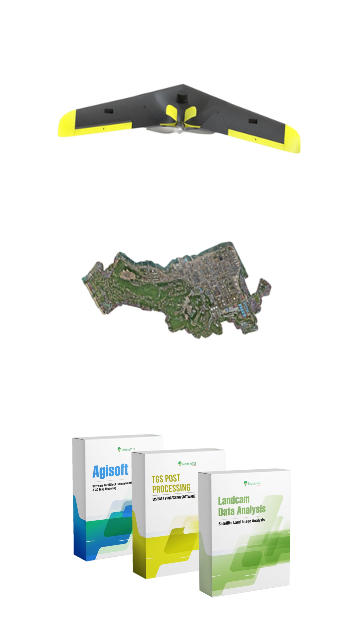
NiVO VTOL Aerofly Mapping

Revolutionizing Surveying Solutions

Revolutionizing Aerial Mapping-The NiVO Aerofly is a cutting-edge mini fixed-wing UAV specifically designed to redefine photogrammetry and aerial mapping. Featuring a wingspan of 1100mm and a unique FlyWing model, it combines portability with robust performance, making it an essential tool for surveyors, mappers, and researchers. Compact yet powerful, NiVO Aerofly ensures accurate and reliable data capture, even in challenging environments. Whether you’re in agriculture, urban planning, or environmental conservation, this UAV is your gateway to precise aerial data.

Ease of Use Meets High Precision-NiVO Aerofly is engineered for professionals who value precision without complexity. Equipped with Post-Processing Kinematic (PPK) technology, it achieves centimeter-level accuracy, significantly reducing reliance on ground control points. The intuitive interface and automated flight capabilities make it easy to operate, even for beginners. Lightweight and designed for seamless portability, NiVO Aerofly ensures quick setup and deployment for diverse field operations.

1
2
3
4
1

NiVO Aerofly/V1

2

Orthomosaic

3

Agisoft Metashape

4

PPK and Geotagging

Industrial Drone Mapping NiVO  Aerofly V1
Body
Wingspan 109 cm
Material Carbon Composite
Propeller 1100 (11×40)
Unit Performance
Endurance 30 Minutes
Speed Mission 15 m/s
Coverage Area 100ha /Flight
Takeoff weight 1200 gram
Payload 200 gram
Power
Battery Li-ion 14.8 Volt
Capacity 5000 mAh
Sensor Support
Radius Telemetry 10 Km
Resolution Camera 20 MP *default RGB
GSD Up to 3 cm/pixel
GNSS PPK/ RTK System
Flight Planner QGC or Mission Planner
GNSS Type Dual Frequency
Accuracy absolute Horizontal : 10 cm Vertical : 15 cm
TKDN (Tingkat Komponen Dalam Negeri) Certificate >25%

Transforming Workflows Across Industries
NiVO Aerofly is more than a UAV; it’s a game-changer for industries requiring high-resolution aerial data. Its ability to capture detailed imagery, coupled with precise georeferencing, makes it an invaluable asset. From analyzing agricultural health to mapping large infrastructure projects, NiVO Aerofly transforms workflows by providing actionable insights, enhancing productivity, and ensuring timely project delivery.


  • Land Administration Mapping: Achieve precise boundary delineations for PTSL and other land titling initiatives. NiVO accelerates land registration processes with high-resolution aerial imagery.
  • Agricultural Surveys: Support paddy field planning and new land investigations with detailed topographic mapping, optimizing land use and water resource allocation.
  • Mining Exploration: Map forests transitioning to mining sites with accuracy, ensuring environmental compliance and responsible resource extraction.
  • Plantation Monitoring: Count trees, analyze NDVI, and estimate plant health in palm oil plantations to maximize yield and implement sustainable practices.
  • Coastal Mapping: Monitor shoreline dynamics with precision, aiding in erosion prevention, disaster mitigation, and infrastructure planning.

Unlock the potential of high-accuracy aerial mapping with NiVO Aerofly. Whether you are enhancing agricultural productivity, planning urban infrastructure, or monitoring environmental changes, NiVO Aerofly is your trusted partner. Contact us now to learn more about how NiVO Aerofly can transform your operations and elevate your projects.


All documents may you need

Documentation

Unlock the potential of high-accuracy aerial mapping with NiVO Aerofly. Whether you are enhancing agricultural productivity, planning urban infrastructure, or monitoring environmental changes, NiVO Aerofly is your trusted partner. Contact us now to learn more about how NiVO Aerofly can transform your operations and elevate your projects.

No Details Date Type
1 Manual Books  20/12/2024 pdf
2 Feature Eksplanation 21/12/2024 pdf
3 Design and Technology 22/12/2024 pdf
4 Research Publication 23/12/2024 pdf
5 Certificate Calibration 24/12/2024 pdf
6 Result of Calibration 25/12/2024 pdf
7 Sampel Data Location 1 25/12/2024 pdf
8 Sampel Data Location 2 25/12/2024 pdf
9 Sampel Data Location 3 25/12/2024 pdf
10 TGS Post Processing 25/12/2024 exe
11 NiVO Ground Control 25/12/2024 exe

NiVO Aerofly First Case

PTSL / Land Administration Mapping

NiVO provides precise geospatial data critical for PTSL (Complete Systematic Land Registration) and land administration projects. With high-resolution aerial imagery, NiVO ensures accurate boundary mapping, reduces disputes, and accelerates land titling processes, supporting government and private initiatives.

Agriculture for Food Estate

Mapping for Paddy Field Design or New Land Investigation Surveys

NiVO Aerofly revolutionizes precision agriculture with high-resolution imagery that helps monitor crop health, identify stress areas, and optimize irrigation. Farmers can generate NDVI (Normalized Difference Vegetation Index) maps to assess plant vitality and make informed decisions to maximize yield while minimizing resource use

Mining & Energy

Mining Exploration, Maintenance and Analytical

Mining exploration requires precise and up-to-date information to minimize environmental impact. NiVO’s ability to map vast forested areas and monitor land transitions ensures compliance with regulations while facilitating responsible resource extraction.

Smart Planning

Urban Planning and Development

Urban planners benefit from NiVO Aerofly’s ability to generate accurate orthomosaic maps and 3D models. These outputs are critical for zoning, infrastructure development, and land-use planning, enabling smarter and more sustainable urban growth.

Drone for Civil Engineering

Construction and Infrastructure Surveying

For construction projects, NiVO Aerofly delivers detailed topographic surveys and digital elevation models (DEMs). Its precise data aids in planning, site evaluation, and progress tracking. The UAV’s high-accuracy outputs minimize the need for manual measurements, saving time and reducing costs.