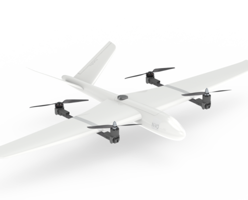
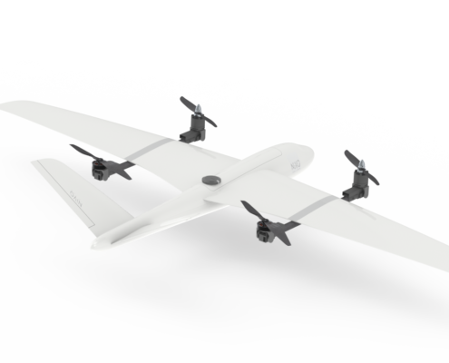
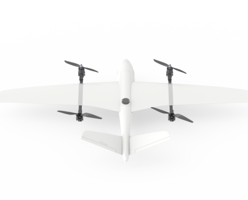
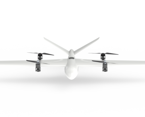
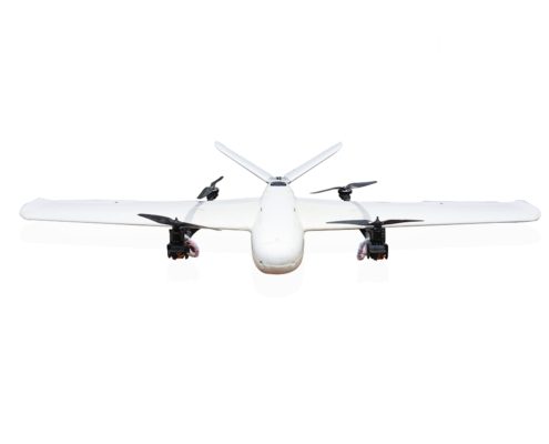
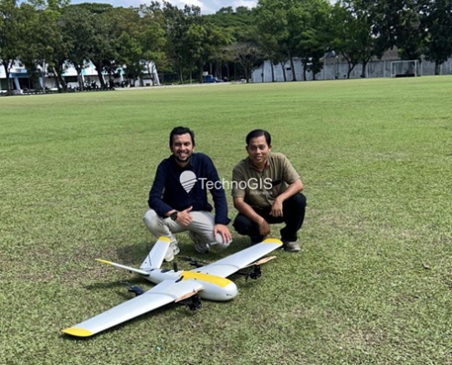
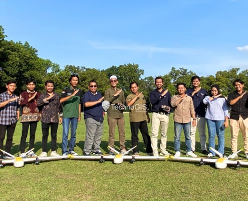
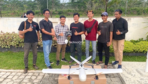
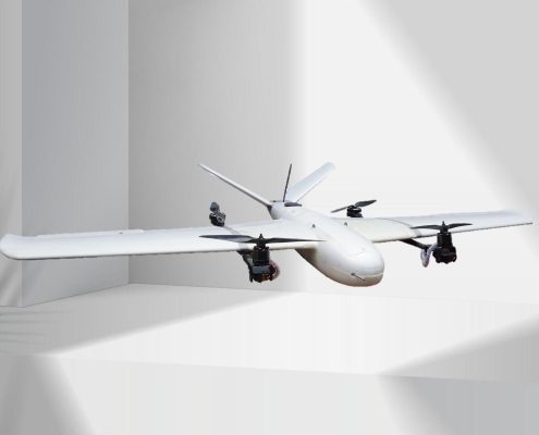
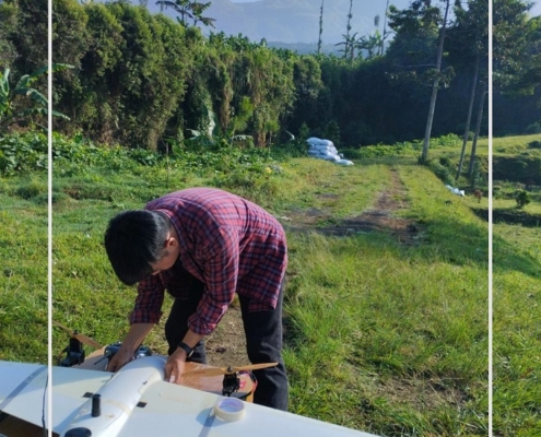
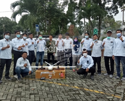
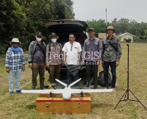
Step into the future of geospatial intelligence with NiVO VTOL Drone Mapping, a groundbreaking solution for high-resolution data acquisition. Engineered to deliver unmatched precision and efficiency, this advanced drone redefines aerial mapping for industries worldwide. Whether managing land administration, optimizing agricultural yields, exploring natural resources, or monitoring coastal changes, NiVO is your ultimate partner in innovation and reliability.
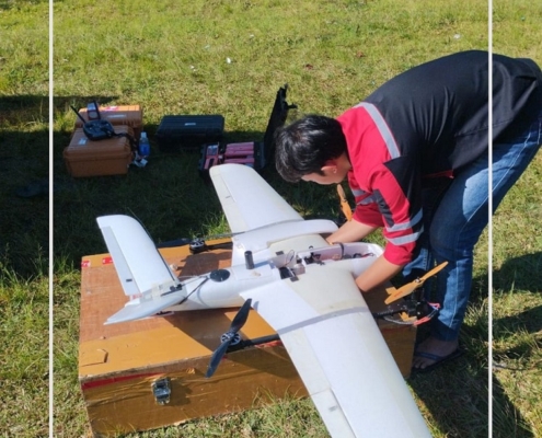
At the heart of NiVO VTOL is its hybrid technology, seamlessly combining the agility of multirotor systems with the endurance of fixed-wing drones. This design ensures exceptional performance across diverse terrains, empowering professionals with actionable insights for smarter decision-making. From large-scale surveying to specialized environmental studies, NiVO adapts effortlessly to meet every challenge.
- Land Administration Mapping: Achieve precise boundary delineations for PTSL and other land titling initiatives. NiVO accelerates land registration processes with high-resolution aerial imagery.
- Agricultural Surveys: Support paddy field planning and new land investigations with detailed topographic mapping, optimizing land use and water resource allocation.
- Mining Exploration: Map forests transitioning to mining sites with accuracy, ensuring environmental compliance and responsible resource extraction.
- Plantation Monitoring: Count trees, analyze NDVI, and estimate plant health in palm oil plantations to maximize yield and implement sustainable practices.
- Coastal Mapping: Monitor shoreline dynamics with precision, aiding in erosion prevention, disaster mitigation, and infrastructure planning.
Why Choose NiVO VTOL Drone Mapping?
NiVO VTOL Drone Mapping stands as a leader in aerial mapping technology. With its exceptional precision, versatile applications, and reliable performance, NiVO empowers professionals to achieve their goals while promoting sustainability and innovation.

