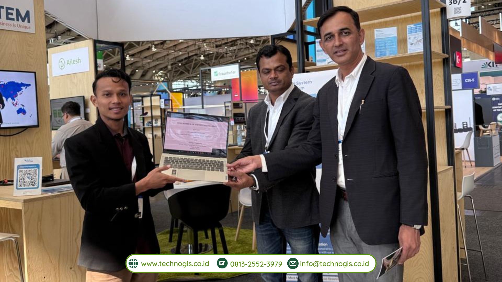
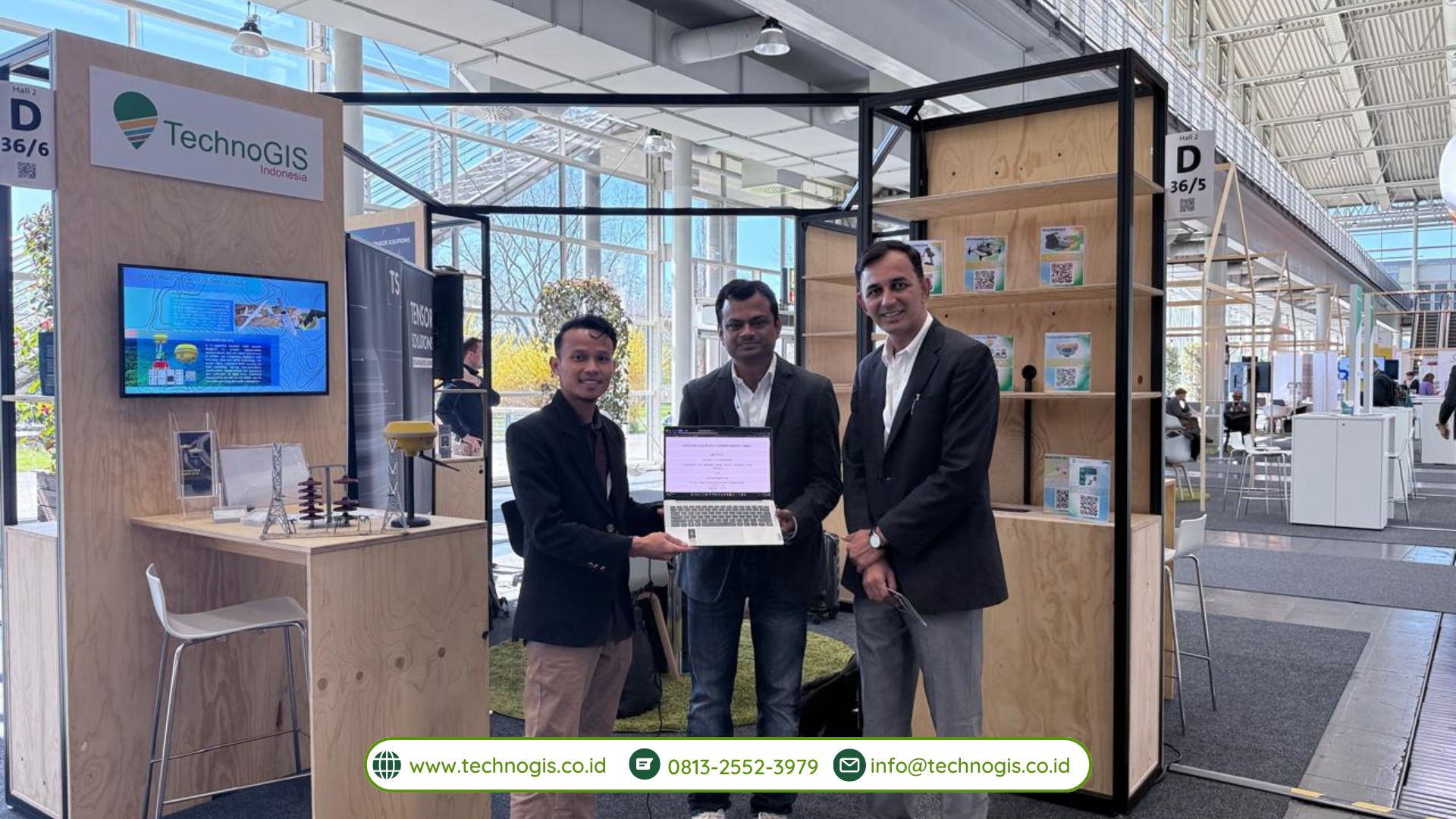
PT Techno GIS Indonesia and Synergy Engineering Lead the Charge in Geospatial Innovation at Hannover Messe 2025
Hannover, Germany – At the prestigious Hannover Messe 2025, PT Techno GIS Indonesia demonstrated its commitment to advancing digital mapping and geospatial solutions by showcasing its cutting-edge technologies in collaboration with Synergy Engineering. Held from March 31 to April 4, 2025, this international industrial fair provided an ideal platform for the two companies to display their expertise, foster global partnerships, and highlight transformative solutions that are paving the way for sustainable industry practices worldwide.
During the event, PT Techno GIS Indonesia unveiled a range of innovative products, including a cloud-based spatial monitoring platform that integrates real-time data collection with advanced analytics. This platform is specifically designed to enhance operational efficiency across diverse sectors such as agriculture, urban planning, disaster management, and resource optimization. With its ability to rapidly process and analyze vast amounts of geospatial data, the platform is set to revolutionize how industries approach decision-making processes and strategic planning.

In a demonstration that captured the attention of industry leaders, investors, and government representatives, the PT Techno GIS Indonesia booth featured interactive displays where visitors could witness live demonstrations of the latest remote sensing and GIS technologies. The company’s experts explained how the integration of artificial intelligence (AI) and big data analytics with geographic information systems (GIS) enables more accurate mapping, predictive modeling, and real-time situational awareness. These innovations not only streamline operations but also contribute to more sustainable and environmentally responsible practices.
A key highlight of the event was the strategic collaboration with Synergy Engineering. This partnership exemplifies how combining local expertise with robust, internationally acclaimed engineering practices can lead to superior technology solutions. Synergy Engineering has played an instrumental role in the research and development processes, ensuring that the solutions developed meet both local needs and international standards. Their collaboration has also facilitated the creation of scalable technologies that are ready for deployment across various markets.
“Partnering with Synergy Engineering has been a game-changer for us,” said the CEO of PT Techno GIS Indonesia during his presentation at Hannover Messe 2025. “Their commitment to excellence and deep technical expertise have greatly enhanced our capacity to deliver advanced geospatial solutions that are both innovative and reliable. Together, we are setting new benchmarks in digital transformation and sustainable industry practices.”
In addition to product demonstrations, the event provided ample networking opportunities. Both PT Techno GIS Indonesia and Synergy Engineering engaged in high-level discussions with international counterparts, exploring avenues for future collaborations, joint research projects, and market expansions. These discussions underscored the global appetite for advanced geospatial solutions and showcased the companies’ readiness to contribute to the digital transformation of industries worldwide.

The collaborative efforts of PT Techno GIS Indonesia and Synergy Engineering extended beyond technology demonstrations. They also hosted several workshops and seminars during the fair, aimed at educating industry stakeholders about the benefits of integrating geospatial data with AI and IoT. These sessions highlighted case studies and real-world applications of their solutions, emphasizing how a data-driven approach can lead to more informed decision-making and ultimately, a more efficient use of resources.
Looking forward, both companies are eager to build on the momentum generated at Hannover Messe 2025. Plans are already underway to conduct pilot projects in various regions, deploying their innovative solutions in local contexts to further refine and adapt the technology based on real-world feedback. This proactive approach is anticipated to not only enhance technological capabilities but also drive broader adoption of digital mapping and geospatial intelligence across industries.
The success at Hannover Messe 2025 reinforces PT Techno GIS Indonesia’s position as a trailblazer in the geospatial technology arena, while the partnership with Synergy Engineering demonstrates the power of collaboration in achieving technological excellence. As the world continues to embrace digital transformation, their joint efforts are well-positioned to deliver significant value, fostering innovation and sustainability in both local and global industrial landscapes.


