Tag Archive for: #GlobalCollaboration

PT Techno GIS Indonesia and Synergy Engineering Lead the Charge in Geospatial Innovation at Hannover Messe 2025

Hannover, Germany – At the prestigious Hannover Messe 2025, PT Techno GIS Indonesia demonstrated its commitment to advancing digital mapping and geospatial solutions by showcasing its cutting-edge technologies in collaboration with Synergy Engineering. Held from March 31 to April 4, 2025, this international industrial fair provided an ideal platform for the two companies to display their expertise, foster global partnerships, and highlight transformative solutions that are paving the way for sustainable industry practices worldwide.

During the event, PT Techno GIS Indonesia unveiled a range of innovative products, including a cloud-based spatial monitoring platform that integrates real-time data collection with advanced analytics. This platform is specifically designed to enhance operational efficiency across diverse sectors such as agriculture, urban planning, disaster management, and resource optimization. With its ability to rapidly process and analyze vast amounts of geospatial data, the platform is set to revolutionize how industries approach decision-making processes and strategic planning.
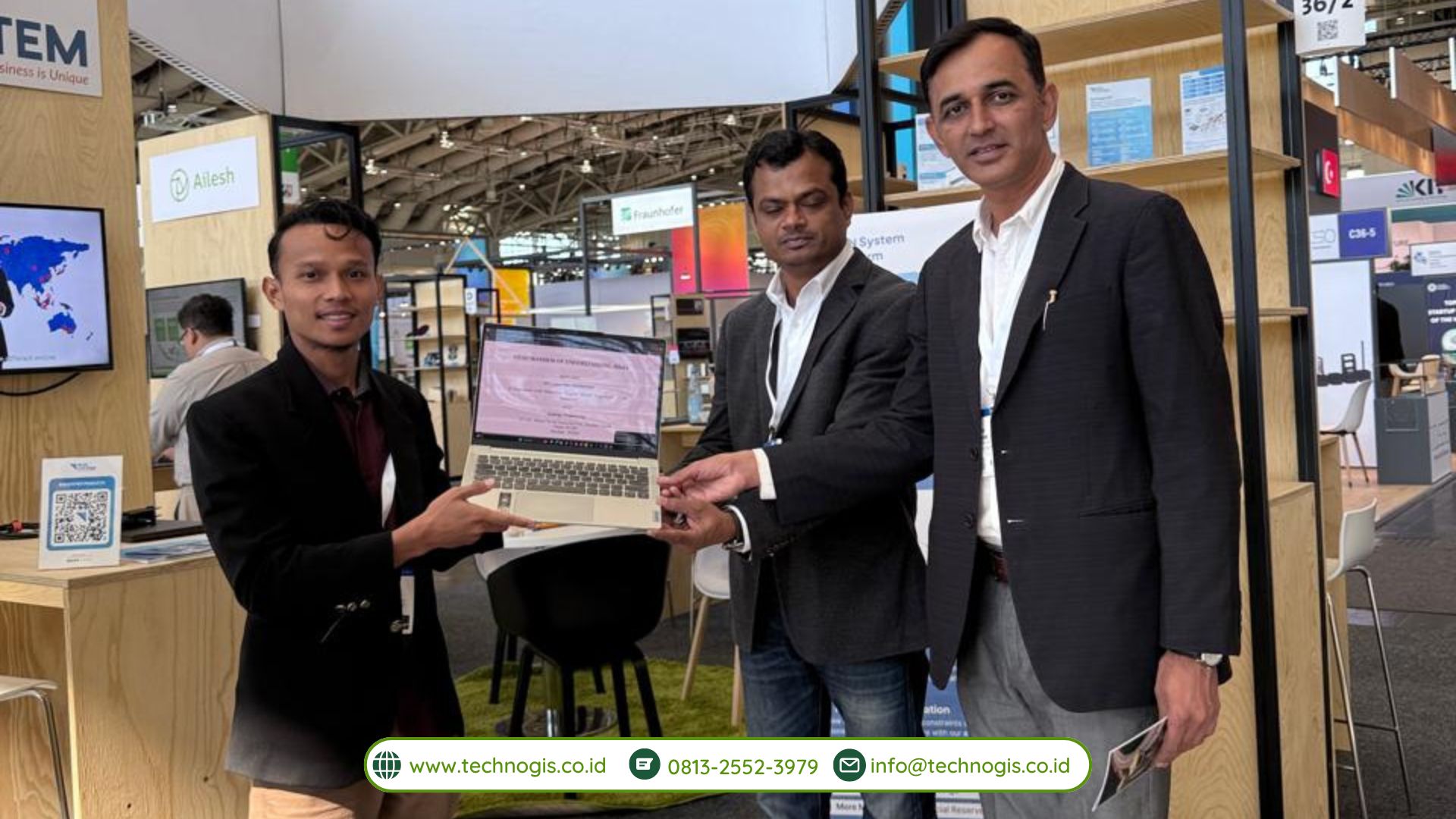
In a demonstration that captured the attention of industry leaders, investors, and government representatives, the PT Techno GIS Indonesia booth featured interactive displays where visitors could witness live demonstrations of the latest remote sensing and GIS technologies. The company’s experts explained how the integration of artificial intelligence (AI) and big data analytics with geographic information systems (GIS) enables more accurate mapping, predictive modeling, and real-time situational awareness. These innovations not only streamline operations but also contribute to more sustainable and environmentally responsible practices.

A key highlight of the event was the strategic collaboration with Synergy Engineering. This partnership exemplifies how combining local expertise with robust, internationally acclaimed engineering practices can lead to superior technology solutions. Synergy Engineering has played an instrumental role in the research and development processes, ensuring that the solutions developed meet both local needs and international standards. Their collaboration has also facilitated the creation of scalable technologies that are ready for deployment across various markets.

“Partnering with Synergy Engineering has been a game-changer for us,” said the CEO of PT Techno GIS Indonesia during his presentation at Hannover Messe 2025. “Their commitment to excellence and deep technical expertise have greatly enhanced our capacity to deliver advanced geospatial solutions that are both innovative and reliable. Together, we are setting new benchmarks in digital transformation and sustainable industry practices.”

In addition to product demonstrations, the event provided ample networking opportunities. Both PT Techno GIS Indonesia and Synergy Engineering engaged in high-level discussions with international counterparts, exploring avenues for future collaborations, joint research projects, and market expansions. These discussions underscored the global appetite for advanced geospatial solutions and showcased the companies’ readiness to contribute to the digital transformation of industries worldwide.
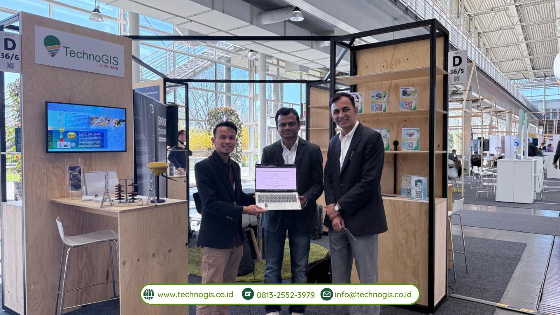
The collaborative efforts of PT Techno GIS Indonesia and Synergy Engineering extended beyond technology demonstrations. They also hosted several workshops and seminars during the fair, aimed at educating industry stakeholders about the benefits of integrating geospatial data with AI and IoT. These sessions highlighted case studies and real-world applications of their solutions, emphasizing how a data-driven approach can lead to more informed decision-making and ultimately, a more efficient use of resources.

Looking forward, both companies are eager to build on the momentum generated at Hannover Messe 2025. Plans are already underway to conduct pilot projects in various regions, deploying their innovative solutions in local contexts to further refine and adapt the technology based on real-world feedback. This proactive approach is anticipated to not only enhance technological capabilities but also drive broader adoption of digital mapping and geospatial intelligence across industries.

The success at Hannover Messe 2025 reinforces PT Techno GIS Indonesia’s position as a trailblazer in the geospatial technology arena, while the partnership with Synergy Engineering demonstrates the power of collaboration in achieving technological excellence. As the world continues to embrace digital transformation, their joint efforts are well-positioned to deliver significant value, fostering innovation and sustainability in both local and global industrial landscapes.

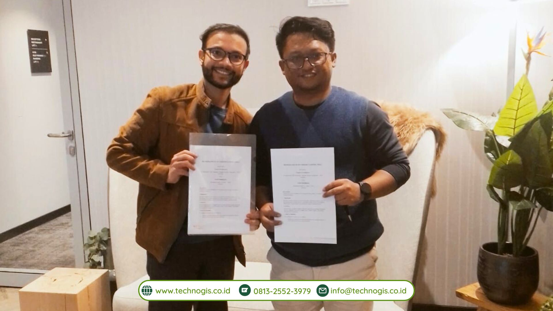
PT Techno GIS Indonesia Signs an MoU with Aerial Intelligence at Hannover Messe 2025, Germany

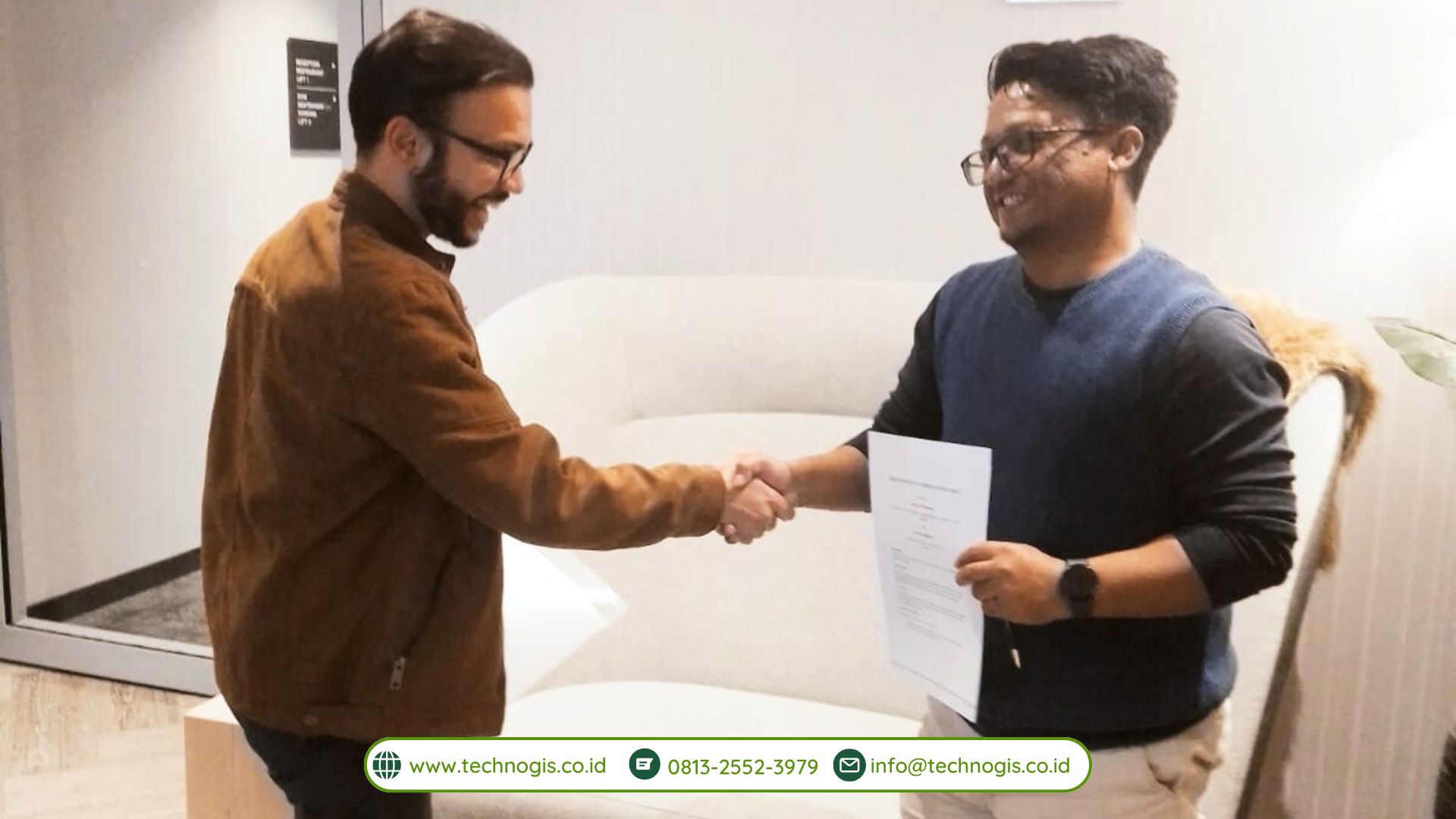
Hannover, Germany – The Hannover Messe 2025 event once again witnessed the emergence of various innovative collaborations in the fields of technology and industry. One of the most significant moments of this grand event was the signing of a Memorandum of Understanding (MoU) between PT Techno GIS Indonesia and Aerial Intelligence, a German-based technology company. Through this MoU, both parties agreed to collaboratively develop aerial data-based solutions and strengthen their partnership in image processing and geospatial innovation powered by artificial intelligence (AI).

As the world’s largest industrial trade fair, Hannover Messe is known for bridging a myriad of ideas and innovations from across the globe. In 2025, the event adopted the theme “Industrial Transformation – Energizing a Sustainable Industry,” emphasizing the importance of merging technology and sustainability across all industrial sectors. In line with this spirit, PT Techno GIS Indonesia and Aerial Intelligence recognized the tremendous potential in harnessing aerial data and AI technology for various applications, ranging from agricultural land mapping, urban planning, disaster mitigation, to more efficient natural resource management.

One of the primary focuses of this MoU is the development of a comprehensive aerial data-based solution. Both parties are committed to designing systems for the collection, processing, and analysis of geospatial data that are not only reliable but also scalable. PT Techno GIS Indonesia, leveraging its extensive experience and local client base, will utilize its infrastructure and local expertise to gather field data. Meanwhile, Aerial Intelligence, through its advanced technology and R&D ecosystem in Germany, will provide an AI-based aerial image analysis platform capable of processing data quickly and accurately.

This collaboration also encompasses AI-powered geospatial innovations. Such technology is projected to help overcome various complex challenges faced by industries and governments, such as mapping remote areas, managing critical infrastructure, and identifying land cover changes. With the integration of AI, the developed systems are expected to generate predictive analyses, minimize data errors, and optimize resource utilization. These improvements are anticipated to have a positive impact across a range of sectors, including agriculture, plantation, forestry, mining, and urban planning.

The signing of this MoU is a strong symbol of PT Techno GIS Indonesia’s commitment to advancing geospatial technology in Indonesia. By partnering with Aerial Intelligence, the company aims to introduce sophisticated solutions that can stand up to global competition. In turn, Aerial Intelligence views this partnership as a gateway to penetrating the Southeast Asian market, particularly Indonesia, which has a significant demand for mapping and remote sensing technologies.

During the MoU signing at Hannover Messe 2025, representatives from both companies emphasized that this agreement is not merely an ordinary business collaboration; it is a synergistic effort to integrate two areas of expertise: the local knowledge held by PT Techno GIS Indonesia and the state-of-the-art technology of Aerial Intelligence on a global scale. The outcomes of this development are expected to be implemented in a more targeted manner, effectively addressing real-world needs.

Furthermore, the MoU opens the door for interdisciplinary collaborations. Various sectors, including academia and government, will be invited to work together to test and utilize the solutions emerging from this cooperation. This step is crucial to ensure that the innovations created truly have a high leverage effect on industrial development and sustainable growth.

In the near future, a joint team from PT Techno GIS Indonesia and Aerial Intelligence will initiate pilot projects in several selected locations in Indonesia. These pilot projects aim to test the integration of aerial data, image processing, and AI in addressing various needs, such as managing agricultural land.

CEO of PT Techno GIS Indonesia Serves as a Speaker at Hannover Messe 2025

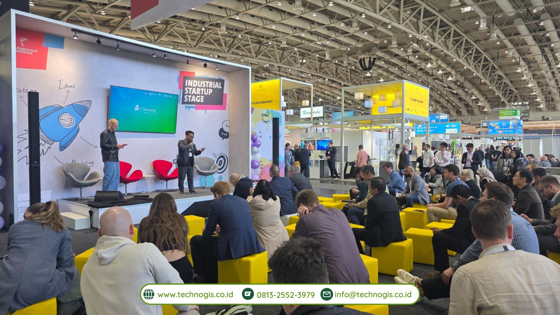
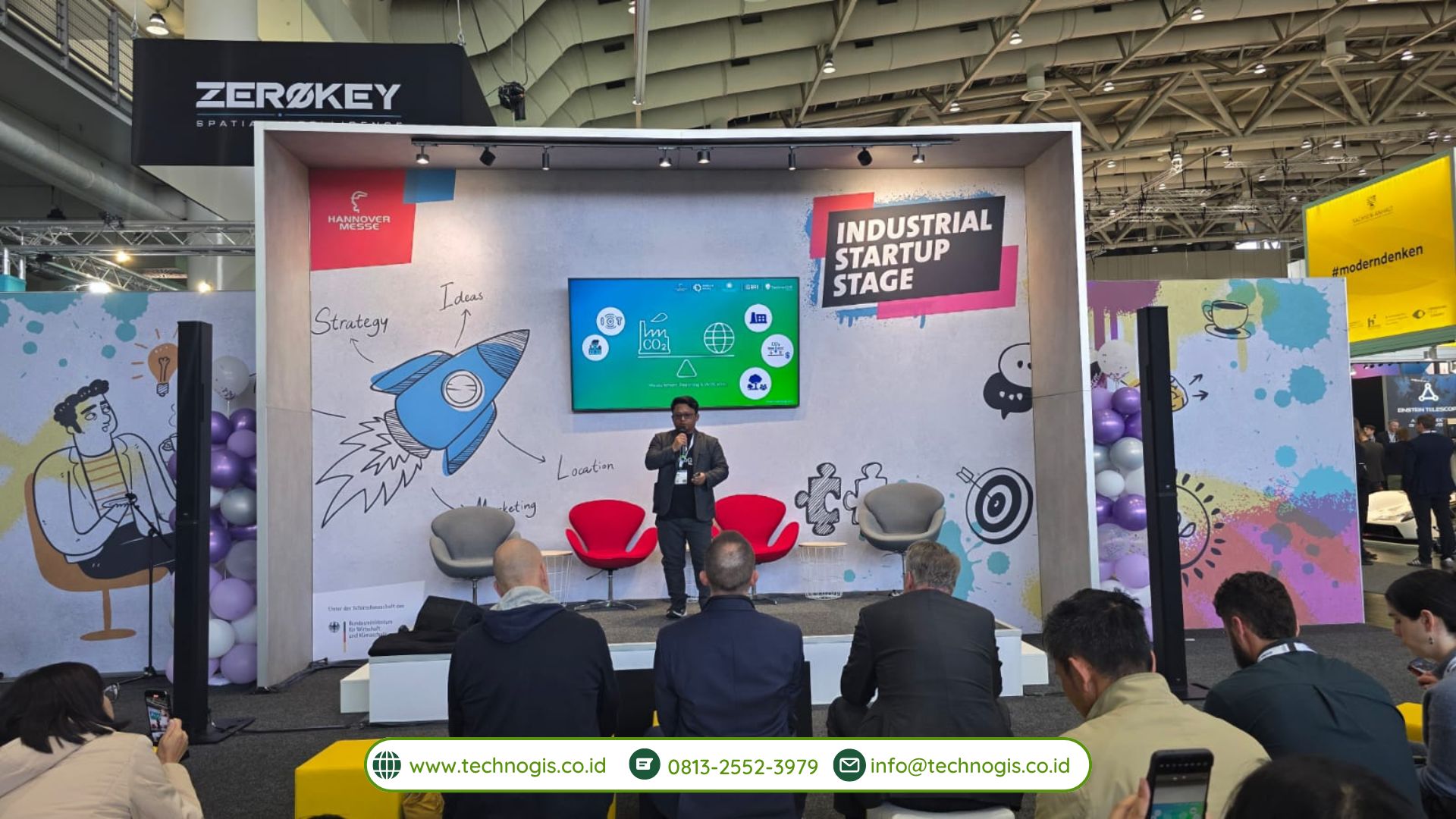
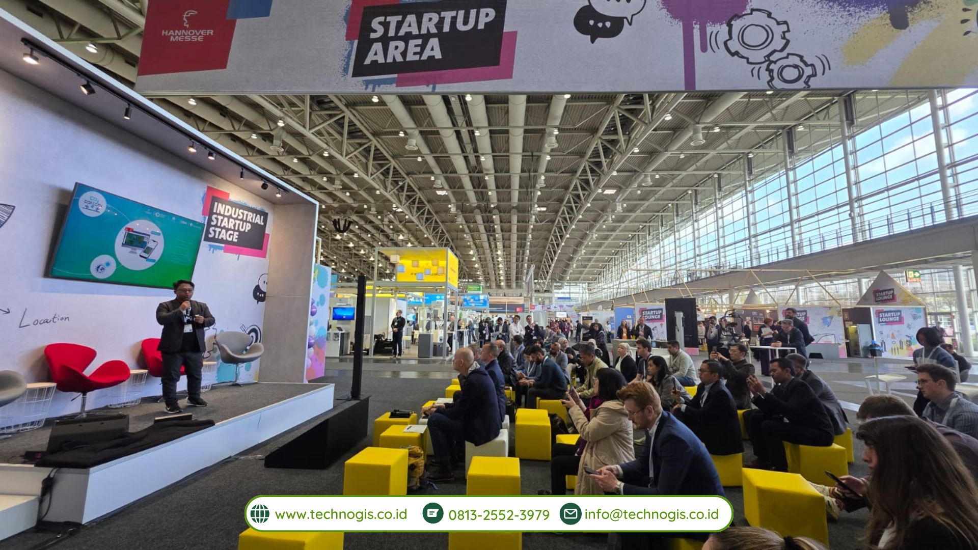
Hannover, Germany – PT Techno GIS Indonesia once again achieved a moment of pride at the international event, Hannover Messe 2025. On March 1, 2025, Ir. Sarono, M.Eng., the CEO of PT Techno GIS Indonesia, took the stage as a representative speaker for Indonesia at the prestigious Startup Stage Area.

During this opportunity, Ir. Sarono delivered a presentation titled “Towards Carbon Balance: Strategies for Emission Neutralization in Industry and on a Global Scale.” His presentation addressed the significant issues surrounding carbon balance and outlined concrete strategies for neutralizing emissions, both on an industrial level and globally. This topic is highly pertinent to the global focus on sustainability and the ongoing transition toward a green industry—a central theme at this year’s Hannover Messe.

Ir. Sarono’s participation as a speaker underscores the international confidence in PT Techno GIS Indonesia’s competence and commitment to developing technologies that support sustainable industry practices. In his address, he highlighted the critical importance of collaboration among the technology sector, industry players, and government bodies in creating data-driven, spatial solutions for mitigating carbon emissions. Furthermore, the technologies developed by Techno GIS—such as their GIS-based monitoring systems and integration of remote sensing data—have proven to be strategic tools for making informed decisions regarding environmental policy.

The presence of PT Techno GIS Indonesia on this international stage further solidifies Indonesia’s reputation as an active contributor to the global climate change agenda through technological innovation and creative approaches. Ir. Sarono emphasized that Indonesia holds enormous potential to offer solutions to global environmental challenges, especially through the integrated utilization of geospatial technology.

Beyond showcasing technological innovation, the event provided PT Techno GIS Indonesia with a valuable opportunity to broaden its international network and demonstrate its technical capabilities on a global platform. Many participants from around the world expressed keen interest in the approaches and solutions presented, opening up significant possibilities for future collaborations in the field of environmentally friendly technology.

By featuring the CEO of PT Techno GIS Indonesia as a speaker at Hannover Messe 2025, the company not only showcased its technological prowess but also reinforced its commitment to being an integral part of the global solution for urgent environmental issues. This milestone marks a strategic step toward positioning the company as a leader in sustainable geospatial technology, both at the national and international levels.

The impressive participation of PT Techno GIS Indonesia and its CEO at such a high-profile event reflects the growing emphasis on green technology and sustainable practices in today’s industrial landscape. As the world increasingly turns its attention to reducing carbon footprints and fostering an environmentally responsible future, the contributions of companies like PT Techno GIS Indonesia become ever more critical.

Looking ahead, PT Techno GIS Indonesia remains steadfast in its mission to innovate and develop advanced geospatial solutions that not only cater to the demands of modern industries but also promote a sustainable future. The insights and collaborative relationships forged at Hannover Messe 2025 will undoubtedly serve as a foundation for continued progress in bridging local expertise with global technological advancements.

By continually pushing the boundaries of what is possible in geospatial technology, PT Techno GIS Indonesia is setting new benchmarks in the industry, paving the way for transformative changes that benefit both the economy and the environment. The company’s commitment to sustainability and innovation promises to influence future trends in environmental technology, highlighting Indonesia’s role on the global stage as a contributor to sustainable industrial development.