Call: +62274 – 885879
Chat : +62813-2552-3979
Mail :
[email protected]
Equator GNSS | GeoLiDAR | NiVO Drone | Blue Marine | Landcam
0
Shopping Cart
Home
About
About TechnoGIS
Our Awesome Team
Partners & Networks
Look at GIS & Geographic Insight
3 Keys Our Focus for Innovation
Social Responsibility
Terms and Conditions
Contact
Software
GIS Survey Mobile
TGIS Cloud Dashboard
TGS Post Processing
iTSensing Cloud Image Processing
Instruments
TGS Low Cost RTK Reciever
NiVO VTOL Drone Mapping
Blue Marine Echosounder
GeoLiDAR Laser Scanner
Landcam Multispectral Camera
Solutions
CadGIS – Cadastral & Civil
TaniGIS – Agriculture
MinerGIS – Mining & Energy
DesaGIS – Urban Planning
BisnGIS – Geo Business Tools
NavnGIS – Navigation & Tracker
CarbonPlot – Carbon Balancing
PowerGIS – Powerline Inspection
TelcoGIS – Telco Tower Inspection
News & Updates
Academic
Online Webinar
Short Course & Training
Certification
Store
Login
Menu
Menu
Tag Archive for:
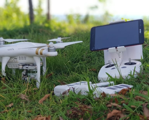
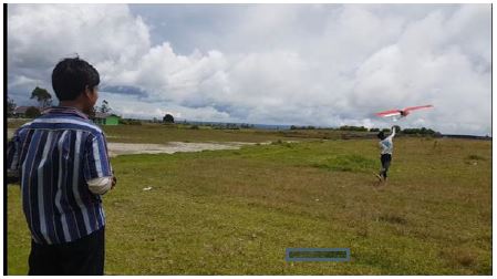
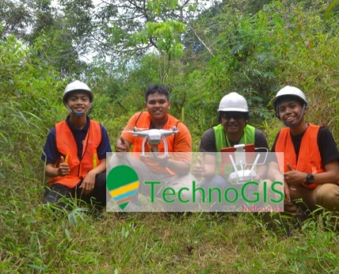
jasa pemetaan drone mapping
PENGUKURAN DAN PEMETAAN TOPOGRAFI (KONTURING) DESA MANGUNAN BANTUL
PEMOTRETAN UDARA LAHAN KRITIS DANAU TOBA PT INDONESIA ASAHAN ALUMINIUM
PENGUKURAN DAN PEMETAAN TOPOGRAFI (KONTURING) PURA BESAKIH BALI
Pemetaan Jamur Dengan Drone di Kawasan Hutan Turgo
Page 2 of 2
1
2
Scroll to top