Tag Archive for: #TechnoGISIndonesia

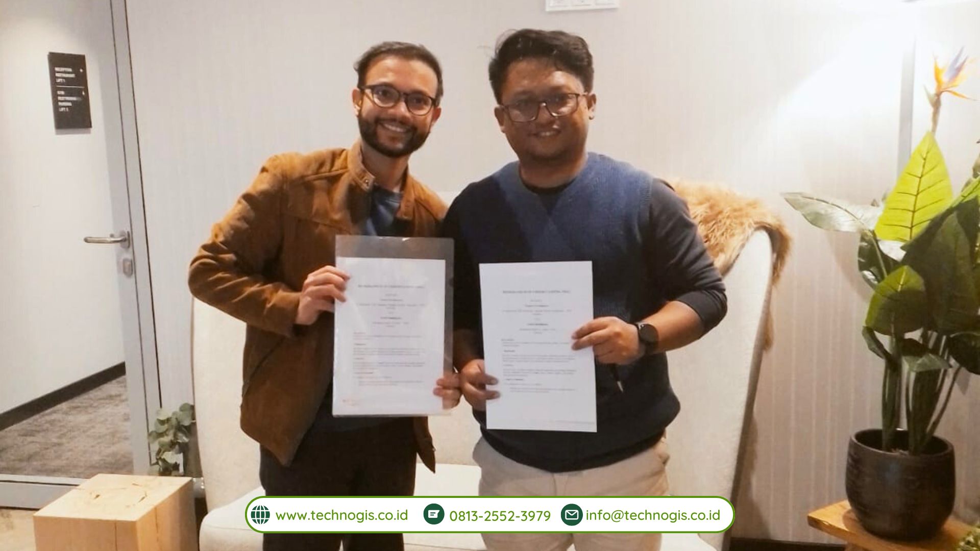
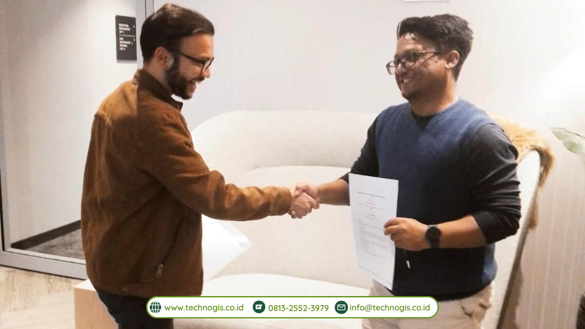
PT Techno GIS Indonesia Signs an MoU with Aerial Intelligence at Hannover Messe 2025, Germany

Hannover, Germany – The Hannover Messe 2025 event once again witnessed the emergence of various innovative collaborations in the fields of technology and industry. One of the most significant moments of this grand event was the signing of a Memorandum of Understanding (MoU) between PT Techno GIS Indonesia and Aerial Intelligence, a German-based technology company. Through this MoU, both parties agreed to collaboratively develop aerial data-based solutions and strengthen their partnership in image processing and geospatial innovation powered by artificial intelligence (AI).

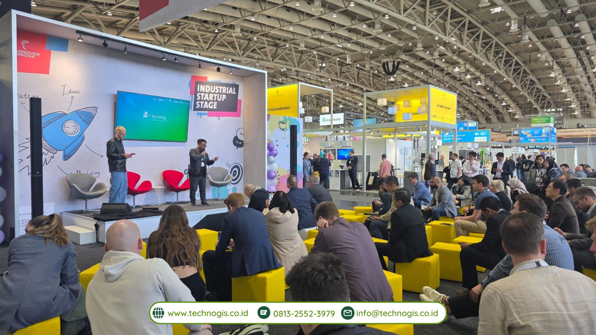
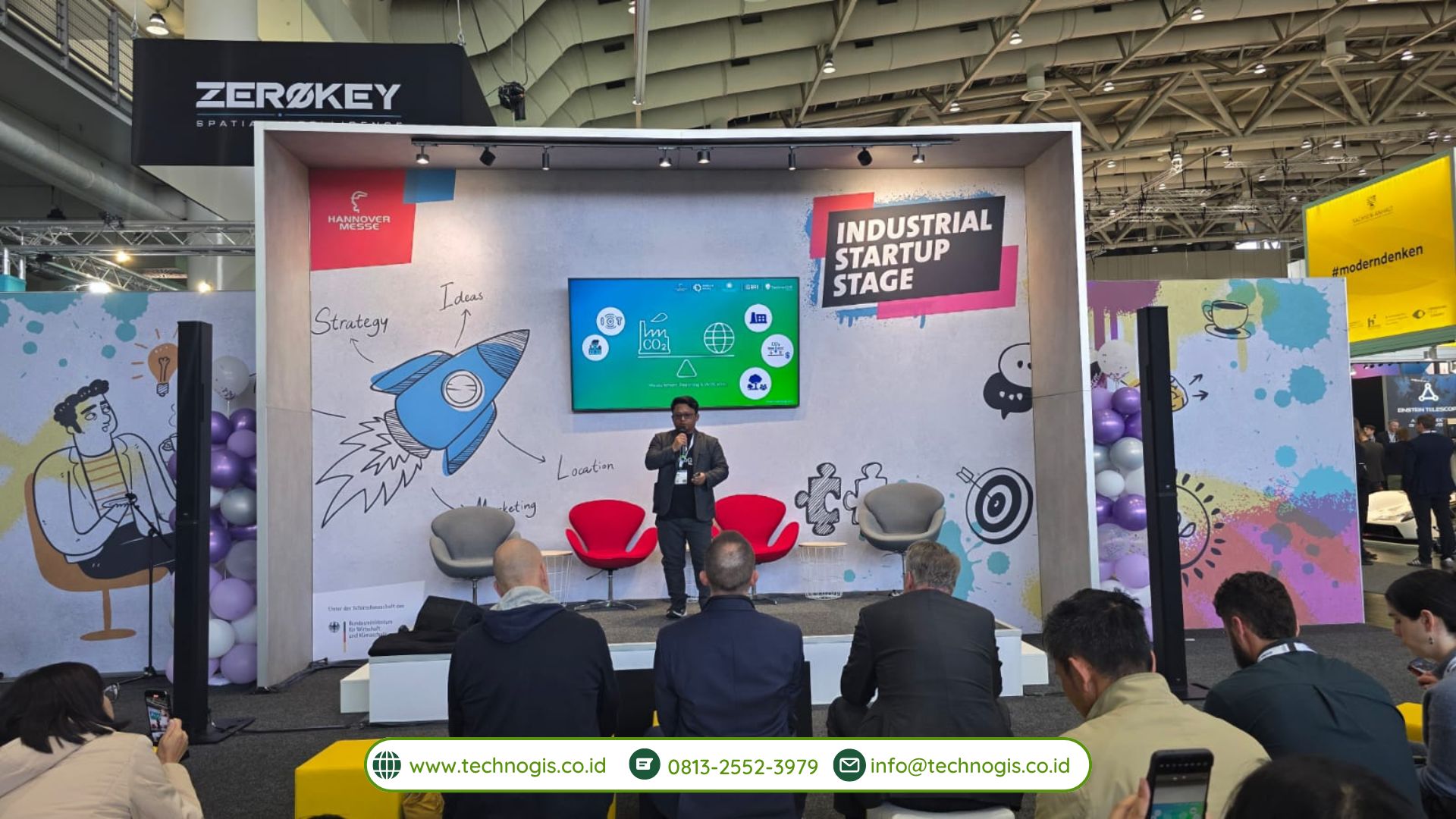
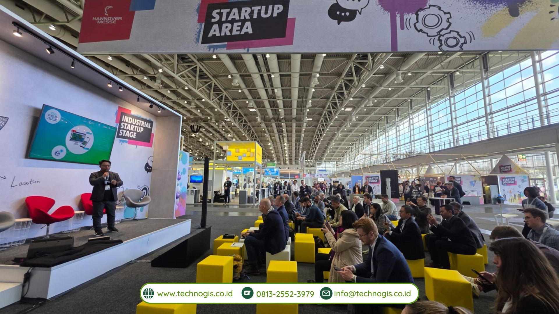
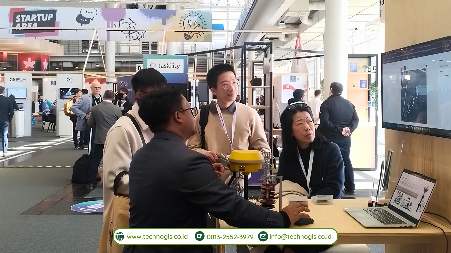
As the world’s largest industrial trade fair, Hannover Messe is known for bridging a myriad of ideas and innovations from across the globe. In 2025, the event adopted the theme “Industrial Transformation – Energizing a Sustainable Industry,” emphasizing the importance of merging technology and sustainability across all industrial sectors. In line with this spirit, PT Techno GIS Indonesia and Aerial Intelligence recognized the tremendous potential in harnessing aerial data and AI technology for various applications, ranging from agricultural land mapping, urban planning, disaster mitigation, to more efficient natural resource management.

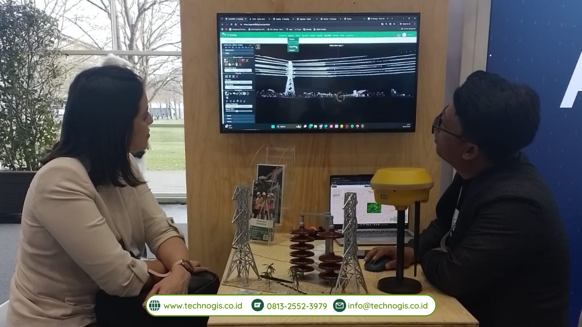
One of the primary focuses of this MoU is the development of a comprehensive aerial data-based solution. Both parties are committed to designing systems for the collection, processing, and analysis of geospatial data that are not only reliable but also scalable. PT Techno GIS Indonesia, leveraging its extensive experience and local client base, will utilize its infrastructure and local expertise to gather field data. Meanwhile, Aerial Intelligence, through its advanced technology and R&D ecosystem in Germany, will provide an AI-based aerial image analysis platform capable of processing data quickly and accurately.

This collaboration also encompasses AI-powered geospatial innovations. Such technology is projected to help overcome various complex challenges faced by industries and governments, such as mapping remote areas, managing critical infrastructure, and identifying land cover changes. With the integration of AI, the developed systems are expected to generate predictive analyses, minimize data errors, and optimize resource utilization. These improvements are anticipated to have a positive impact across a range of sectors, including agriculture, plantation, forestry, mining, and urban planning.

The signing of this MoU is a strong symbol of PT Techno GIS Indonesia’s commitment to advancing geospatial technology in Indonesia. By partnering with Aerial Intelligence, the company aims to introduce sophisticated solutions that can stand up to global competition. In turn, Aerial Intelligence views this partnership as a gateway to penetrating the Southeast Asian market, particularly Indonesia, which has a significant demand for mapping and remote sensing technologies.

During the MoU signing at Hannover Messe 2025, representatives from both companies emphasized that this agreement is not merely an ordinary business collaboration; it is a synergistic effort to integrate two areas of expertise: the local knowledge held by PT Techno GIS Indonesia and the state-of-the-art technology of Aerial Intelligence on a global scale. The outcomes of this development are expected to be implemented in a more targeted manner, effectively addressing real-world needs.

Furthermore, the MoU opens the door for interdisciplinary collaborations. Various sectors, including academia and government, will be invited to work together to test and utilize the solutions emerging from this cooperation. This step is crucial to ensure that the innovations created truly have a high leverage effect on industrial development and sustainable growth.

In the near future, a joint team from PT Techno GIS Indonesia and Aerial Intelligence will initiate pilot projects in several selected locations in Indonesia. These pilot projects aim to test the integration of aerial data, image processing, and AI in addressing various needs, such as managing agricultural land.

CEO of PT Techno GIS Indonesia Serves as a Speaker at Hannover Messe 2025

Hannover, Germany – PT Techno GIS Indonesia once again achieved a moment of pride at the international event, Hannover Messe 2025. On March 1, 2025, Ir. Sarono, M.Eng., the CEO of PT Techno GIS Indonesia, took the stage as a representative speaker for Indonesia at the prestigious Startup Stage Area.

During this opportunity, Ir. Sarono delivered a presentation titled “Towards Carbon Balance: Strategies for Emission Neutralization in Industry and on a Global Scale.” His presentation addressed the significant issues surrounding carbon balance and outlined concrete strategies for neutralizing emissions, both on an industrial level and globally. This topic is highly pertinent to the global focus on sustainability and the ongoing transition toward a green industry—a central theme at this year’s Hannover Messe.

Ir. Sarono’s participation as a speaker underscores the international confidence in PT Techno GIS Indonesia’s competence and commitment to developing technologies that support sustainable industry practices. In his address, he highlighted the critical importance of collaboration among the technology sector, industry players, and government bodies in creating data-driven, spatial solutions for mitigating carbon emissions. Furthermore, the technologies developed by Techno GIS—such as their GIS-based monitoring systems and integration of remote sensing data—have proven to be strategic tools for making informed decisions regarding environmental policy.

The presence of PT Techno GIS Indonesia on this international stage further solidifies Indonesia’s reputation as an active contributor to the global climate change agenda through technological innovation and creative approaches. Ir. Sarono emphasized that Indonesia holds enormous potential to offer solutions to global environmental challenges, especially through the integrated utilization of geospatial technology.

Beyond showcasing technological innovation, the event provided PT Techno GIS Indonesia with a valuable opportunity to broaden its international network and demonstrate its technical capabilities on a global platform. Many participants from around the world expressed keen interest in the approaches and solutions presented, opening up significant possibilities for future collaborations in the field of environmentally friendly technology.

By featuring the CEO of PT Techno GIS Indonesia as a speaker at Hannover Messe 2025, the company not only showcased its technological prowess but also reinforced its commitment to being an integral part of the global solution for urgent environmental issues. This milestone marks a strategic step toward positioning the company as a leader in sustainable geospatial technology, both at the national and international levels.

The impressive participation of PT Techno GIS Indonesia and its CEO at such a high-profile event reflects the growing emphasis on green technology and sustainable practices in today’s industrial landscape. As the world increasingly turns its attention to reducing carbon footprints and fostering an environmentally responsible future, the contributions of companies like PT Techno GIS Indonesia become ever more critical.

Looking ahead, PT Techno GIS Indonesia remains steadfast in its mission to innovate and develop advanced geospatial solutions that not only cater to the demands of modern industries but also promote a sustainable future. The insights and collaborative relationships forged at Hannover Messe 2025 will undoubtedly serve as a foundation for continued progress in bridging local expertise with global technological advancements.

By continually pushing the boundaries of what is possible in geospatial technology, PT Techno GIS Indonesia is setting new benchmarks in the industry, paving the way for transformative changes that benefit both the economy and the environment. The company’s commitment to sustainability and innovation promises to influence future trends in environmental technology, highlighting Indonesia’s role on the global stage as a contributor to sustainable industrial development.

PT Techno GIS Indonesia Successfully Completes Participation at Hannover Messe 2025, Germany

Hannover, Germany – PT Techno GIS Indonesia is proud to announce the successful completion of its participation in the prestigious international industrial event, Hannover Messe 2025, held in Hannover, Germany from March 31 to April 4, 2025. This participation has been a strategic move by the company to introduce cutting-edge geospatial-based technological innovations and smart digital solutions to the global market.

As one of the prominent representatives from Indonesia, PT Techno GIS Indonesia showcased an impressive array of the latest technological innovations and solutions. The company focused on digital mapping, remote sensing, geographic information systems (GIS), and drone technology tailored for the agriculture, forestry, and urban planning sectors. The Techno GIS booth garnered significant attention from international visitors, including representatives from global companies, investors, and potential partners from various countries.

During the five-day event, the team from PT Techno GIS Indonesia actively demonstrated flagship products such as a cloud-based spatial monitoring platform, a geospatial data management system, and an intelligent drone application that has been deployed in several key national projects. One of the highlight products was the smart agricultural drone solution, which is capable of conducting automatic mapping and precise field spraying, significantly boosting operational efficiency.

“Participating in Hannover Messe 2025 is a testament to PT Techno GIS Indonesia’s commitment to supporting digital transformation in the industry, not only in Indonesia but also on the global stage,” said the CEO of PT Techno GIS Indonesia. “We are immensely proud to demonstrate that homegrown innovations can be competitive and even excel on an international platform.”

Beyond exhibiting its innovative products, PT Techno GIS Indonesia also forged various strategic partnerships with international collaborators interested in developing geospatial-based solutions in their respective countries. The business discussions and networking sessions held during the event opened valuable avenues for expansion into global markets, particularly within Europe and Central Asia.

Hannover Messe is recognized as one of the world’s largest industrial trade fairs, bringing together industry professionals, technology innovators, business leaders, and research institutions from across the globe. This year’s event, themed “Industrial Transformation – Energizing a Sustainable Industry,” highlighted the critical importance of transitioning industries towards sustainability through technology and digitalization. PT Techno GIS Indonesia’s participation in such a high-caliber event underscored its role in the global drive toward industrial evolution and sustainability.

Moreover, the Hannover Messe experience served as a significant learning opportunity for the team. By engaging directly with leading figures in the global tech industry, the company garnered fresh insights into technological trends, international market demands, and potential collaborations that could further drive innovation. This enriching exchange of ideas not only deepened the team’s understanding of global market dynamics but also reinforced the company’s resolve to pursue continual technological advancement in the geospatial data field.

With the conclusion of Hannover Messe 2025, PT Techno GIS Indonesia returns home with renewed enthusiasm, a broader international network, and a determined vision to continue advancing spatial data technology in Indonesia. Looking ahead, the company is poised to innovate further and introduce solutions that remain relevant domestically while also being competitive on the world stage.

Hannover Messe has once again proven itself as a vital arena for fostering international cooperation and innovative breakthroughs. PT Techno GIS Indonesia’s active participation has not only elevated the profile of Indonesian technological prowess on a global scale but has also set the stage for future advancements that bridge local capabilities with global market demands. As the company moves forward, it remains committed to enhancing productivity and driving sustainable industrial transformation worldwide.

Perbandingan NiVO V2 dan NiVO V5: Drone Pemetaan Mana yang Lebih Efektif?

TechnoGIS Indonesia menghadirkan berbagai solusi drone pemetaan yang dirancang untuk memenuhi kebutuhan survei dan pemetaan dengan presisi tinggi. Dua produk unggulan mereka, NiVO V2 dan NiVO V5, menawarkan teknologi mutakhir yang memungkinkan pengumpulan data geospasial dengan akurasi tinggi. Meski sekilas tampak serupa, kedua drone ini memiliki sejumlah perbedaan yang membuatnya lebih sesuai untuk kebutuhan tertentu.

NiVO V2 dirancang sebagai drone pemetaan yang efisien dan mudah dioperasikan. Dengan desain berbahan Epo Fiber, drone ini memiliki bobot yang lebih ringan, sehingga lebih fleksibel dalam berbagai kondisi medan. Dengan wingspan 1880 mm, NiVO V2 mampu terbang selama 60 menit dan mencakup area hingga 500 hektar per penerbangan. Kecepatan misi yang mencapai 17 m/s memastikan proses pemetaan berjalan cepat dan efisien. Drone ini didukung oleh kamera dengan resolusi hingga 61 MP, serta kompatibel dengan sensor Landcam Multispectral dan GeoLiDAR ALS, menjadikannya pilihan ideal untuk survei perkebunan, kehutanan, dan perencanaan tata ruang.

Di sisi lain, NiVO V5 hadir dengan desain yang lebih besar dan tangguh. Menggunakan material EPO, EVA, Carbon Fiber, Engineering Plastics, drone ini memiliki daya tahan yang lebih baik terhadap kondisi lingkungan yang ekstrem. Dengan wingspan mencapai 2430 mm, NiVO V5 dapat terbang lebih lama, yaitu hingga 90 menit, dan mampu menjangkau 1000 hektar dalam satu penerbangan. Dibandingkan dengan NiVO V2, drone ini memiliki payload yang lebih besar, yaitu 2000 gram, memungkinkan penggunaan sensor yang lebih kompleks. Selain mendukung kamera 40 MP dan NDVI Multispectral, NiVO V5 juga dilengkapi dengan LiDAR berkapasitas 700.000 poin per detik, menjadikannya solusi sempurna untuk proyek yang membutuhkan pemetaan dengan detail tinggi, seperti analisis infrastruktur dan inspeksi bangunan.

Salah satu persamaan yang dimiliki oleh kedua drone ini adalah sistem navigasi yang canggih. Baik NiVO V2 maupun NiVO V5 telah dilengkapi dengan GNSS PPK/RTK dual frequency, yang memungkinkan pengambilan data dengan tingkat akurasi yang tinggi. Kedua drone ini mampu mencapai akurasi absolut hingga 10 cm secara horizontal dan 15 cm secara vertikal, membuatnya dapat diandalkan untuk berbagai jenis survei. Namun, NiVO V5 memiliki keunggulan dalam hal fleksibilitas sensor, karena dapat mendukung fitur tambahan seperti thermal inspection dan zoom 30x, yang sangat berguna untuk pemantauan infrastruktur dan pemetaan yang lebih mendalam.

Dari segi daya, perbedaan yang cukup mencolok juga terlihat pada kapasitas baterainya. NiVO V2 menggunakan baterai Li-ion Polymer 22.2V dengan kapasitas 12000 mAh, sementara NiVO V5 menggunakan dua baterai berkapasitas 16000 mAh, memberikan daya tahan yang lebih lama dan memastikan misi pemetaan dapat dilakukan tanpa hambatan.

Secara keseluruhan, pemilihan antara NiVO V2 dan NiVO V5 sangat bergantung pada kebutuhan pengguna. Jika mencari drone pemetaan yang efisien dan mudah dioperasikan untuk survei perkebunan, kehutanan, dan tata ruang, NiVO V2 adalah pilihan yang tepat. Namun, bagi yang membutuhkan tingkat presisi lebih tinggi dengan dukungan sensor tambahan seperti LiDAR dan thermal imaging, NiVO V5 adalah solusi yang lebih unggul. Dengan berbagai fitur yang ditawarkan, kedua drone ini menjadi bukti inovasi TechnoGIS Indonesia dalam menghadirkan teknologi pemetaan yang andal dan efisien.

Membangun Kemitraan: Open House Beehive di Kantor TechnoGIS

Membangun Kemitraan: Open House Beehive di Kantor TechnoGIS
16 Desember 2024

Pada tanggal 16 Desember 2024, PT TechnoGIS Indonesia dengan bangga mengadakan acara open house yang mengundang tim Beehive untuk berkunjung ke kantor pusat kami. Kunjungan ini bertujuan untuk memperkenalkan lebih dalam mengenai produk dan layanan geospasial yang kami tawarkan, serta membuka peluang kemitraan yang saling menguntungkan antara TechnoGIS dan Beehive. Ini menjadi momen penting dalam memperkuat hubungan antara kedua perusahaan yang berfokus pada inovasi teknologi dan solusi terintegrasi.

Membangun Kolaborasi untuk Masa Depan yang Lebih Baik

TechnoGIS dan Beehive memiliki tujuan yang sejalan dalam mendorong kemajuan teknologi, khususnya dalam bidang geospasial. Beehive, sebagai perusahaan yang bergerak di bidang teknologi dan inovasi, melihat potensi besar dalam bekerja sama dengan TechnoGIS, yang dikenal dengan keahlian dalam pemetaan dan analisis geospasial. Dengan adanya kunjungan ini, kami berharap dapat menjalin kerja sama yang lebih erat, serta berbagi wawasan mengenai perkembangan terkini dalam industri geospasial.

TechnoGIS: Memperkenalkan Teknologi Geospasial Terkini

Selama kunjungan, pihak Beehive diberikan kesempatan untuk melihat langsung berbagai produk dan solusi yang ditawarkan oleh TechnoGIS. Salah satu highlight utama adalah teknologi LiDAR yang kami gunakan dalam survei dan pemetaan, serta penerapan teknologi Geo AI dalam analisis geospasial. LiDAR (Light Detection and Ranging) memungkinkan pemetaan yang sangat akurat dengan penggunaan laser untuk mengukur jarak, memberikan gambaran topografi yang lebih jelas dan detail.

Selain itu, kami juga memperkenalkan sistem pemantauan yang berbasis teknologi terbaru, seperti drone dan platform pemantauan otomatis. Keunggulan utama dari teknologi ini adalah kemampuannya dalam memberikan data real-time yang akurat untuk berbagai sektor, mulai dari pemetaan wilayah, pemantauan infrastruktur, hingga mitigasi bencana.

Dengan adanya penjelasan mengenai produk dan solusi kami, tim Beehive semakin memahami potensi kolaborasi yang dapat dikembangkan antara kedua belah pihak. Tidak hanya itu, acara ini juga menjadi ajang diskusi mengenai perkembangan tren teknologi geospasial dan bagaimana kedua perusahaan dapat saling mendukung untuk menciptakan inovasi yang lebih besar.

Opportunities untuk Kemitraan Strategis

Setelah sesi presentasi, acara dilanjutkan dengan diskusi lebih mendalam antara kedua perusahaan mengenai potensi kemitraan yang dapat dikembangkan. Beberapa area yang menjadi fokus pembicaraan adalah penerapan teknologi geospasial dalam sektor industri, termasuk energi, pertambangan, dan infrastruktur. Beehive tertarik untuk menggali lebih dalam mengenai bagaimana solusi dari TechnoGIS dapat diterapkan untuk meningkatkan efisiensi dan produktivitas dalam proyek-proyek besar yang mereka jalankan.

Kemitraan ini tidak hanya terbatas pada penggunaan produk dan teknologi, tetapi juga dapat mencakup aspek penelitian dan pengembangan bersama. TechnoGIS dan Beehive sepakat bahwa dalam dunia yang terus berkembang ini, kolaborasi adalah kunci untuk menciptakan solusi yang lebih efektif dan relevan dengan kebutuhan pasar.

Menjaga Komitmen terhadap Kualitas dan Inovasi

Sebagai perusahaan yang berfokus pada pengembangan produk geospasial, TechnoGIS selalu menjaga komitmen terhadap kualitas dan inovasi. Kami percaya bahwa dengan menerapkan standar kualitas yang tinggi, kami dapat menghasilkan produk dan layanan yang tidak hanya bermanfaat, tetapi juga memberikan dampak positif yang besar bagi penggunanya.

Mr. Sarono, Direktur PT TechnoGIS Indonesia, menegaskan, “Kami selalu berusaha untuk memberikan solusi yang tepat guna dengan teknologi terkini. Dalam dunia yang semakin bergantung pada data, kami ingin memastikan bahwa setiap produk yang kami tawarkan dapat membantu pelanggan kami untuk membuat keputusan yang lebih baik dan lebih cepat.”

Membangun Jaringan untuk Masa Depan

Kunjungan open house ini juga memberikan kesempatan bagi kedua perusahaan untuk memperluas jaringan mereka. Baik TechnoGIS maupun Beehive memiliki peran penting dalam membawa perubahan positif melalui teknologi yang mereka kembangkan. Dengan kemitraan yang terjalin pada 16 Desember 2024 ini, kedua perusahaan berharap dapat berkontribusi lebih besar dalam pembangunan yang berkelanjutan dan meningkatkan daya saing Indonesia di tingkat internasional.

Kunjungan ini menandai awal dari sebuah kemitraan strategis yang diharapkan dapat membuka lebih banyak peluang bagi inovasi di bidang teknologi geospasial. TechnoGIS dan Beehive bersama-sama akan mengembangkan solusi yang tidak hanya bermanfaat secara teknologi, tetapi juga memberikan dampak sosial dan ekonomi yang luas bagi masyarakat dan negara.