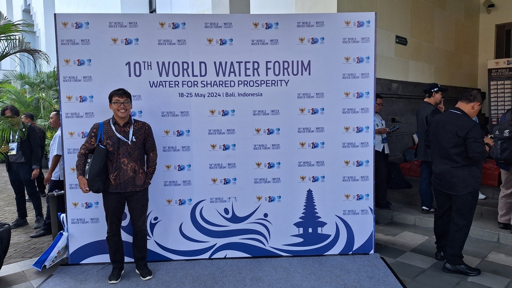
TechnoGIS to Showcase Cutting-Edge Hydrographic Solutions at World Water Forum 2024 in Bali
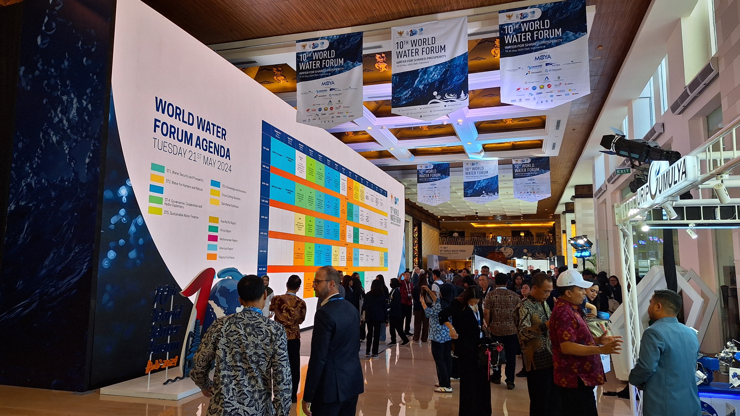
TechnoGIS, a leading provider of innovative geospatial solutions, will be participating in the highly anticipated World Water Forum 2024 in Bali, Indonesia. The forum, taking place from 18 to 24 May 2025, is a global platform for policymakers, scientists, and industry leaders to address the critical challenges facing the world’s water resources. This year’s theme, “WATER FOR SHARED PROSPERITY”, underscores the urgency of finding sustainable solutions to water scarcity, pollution, and climate change impacts. TechnoGIS, dedicated to advancing geospatial technology for a better future, will be showcasing its expertise in hydrographic solutions at the forum.
A Pioneer in Geospatial Technology
TechnoGIS has a strong track record of delivering innovative geospatial solutions across various sectors, including water resources management. The company’s commitment to excellence is reflected in its comprehensive portfolio of products and services, ranging from data acquisition and processing to advanced analysis and visualization.
TechnoGIS at the World Water Forum: Focus on Hydrography
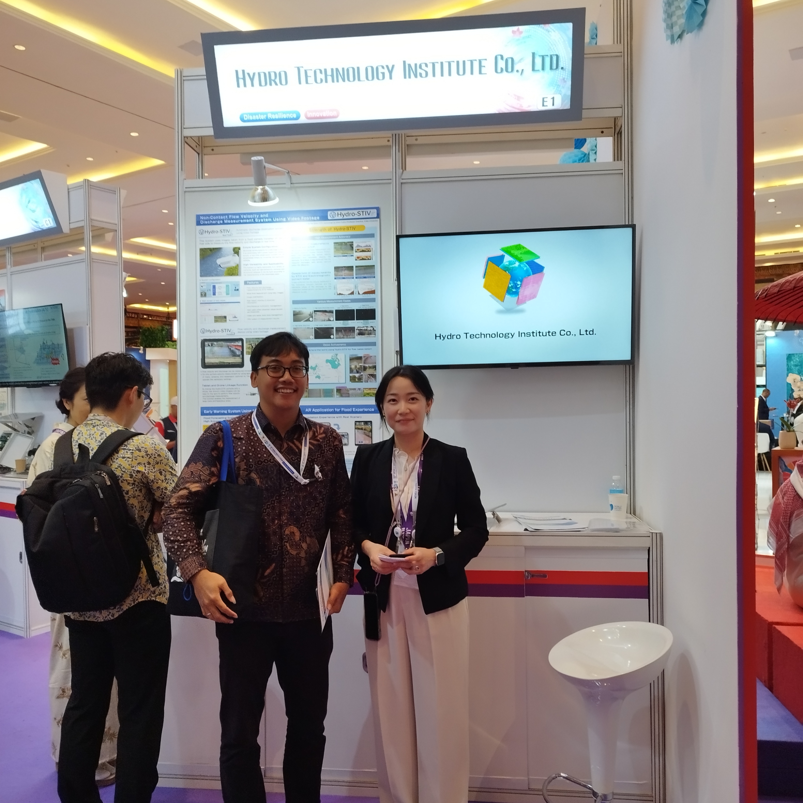
At the World Water Forum 2024, TechnoGIS will be presenting its advanced hydrographic solutions, highlighting the company’s dedication to enhancing our understanding of the world’s oceans and waterways. Mr. Cahyo, TechnoGIS’s Business Development expert in Hydrography, will be leading the company’s participation at the forum. Mr. Cahyo brings extensive experience in the field and will be available to discuss the company’s cutting-edge solutions, including: Blue Marine, a revolutionary software platform for processing satellite imagery for marine applications. Blue Marine empowers users to extract valuable insights from satellite data, enabling accurate mapping of coastal zones, monitoring changes in water quality, and identifying potential threats to marine ecosystems.
Blue Marine Echosounder, a state-of-the-art device for conducting bathymetric surveys. This robust and reliable tool provides high-resolution data on water depth, bottom topography, and underwater features, essential for navigation, dredging operations, and underwater infrastructure development.
TechnoGIS’s Commitment to Sustainable Water Management
TechnoGIS believes that technology plays a crucial role in addressing the global water crisis. The company’s hydrographic solutions provide valuable data and insights that enable informed decision-making in water resource management. By empowering stakeholders with accurate and timely information, TechnoGIS contributes to the development of sustainable water policies and practices.


Leave a Reply
Want to join the discussion?Feel free to contribute!