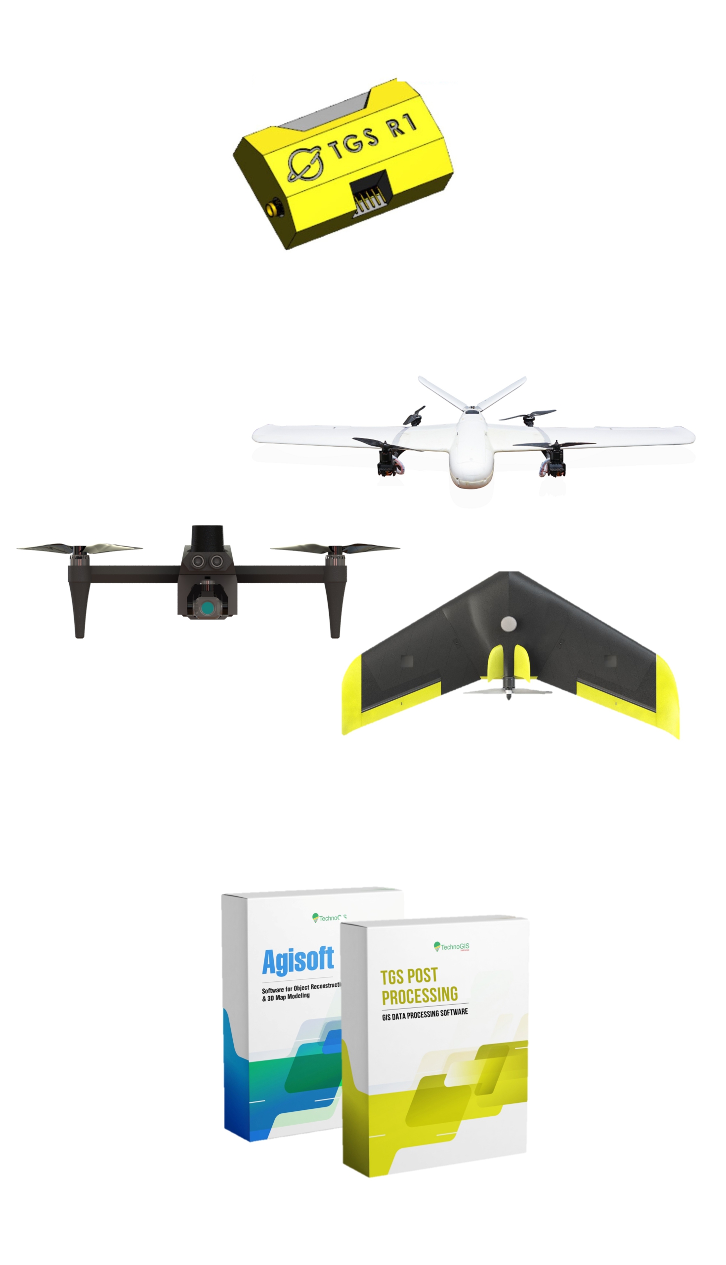
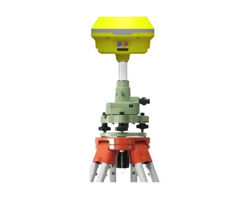
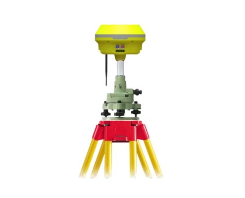
In the fast-paced world of geospatial technology, precision and efficiency are more critical than ever. Drone mapping has revolutionized the way professionals approach surveying and data collection, but it demands tools that can keep up with the high expectations of accuracy and reliability. The TGS GNSS R Series emerges as a game-changer in this domain, setting a new benchmark for excellence.
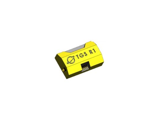
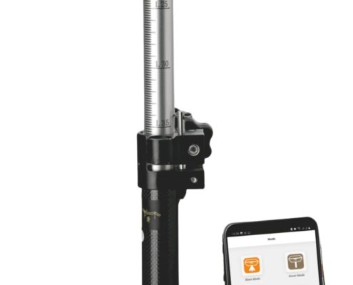
Designed for cutting-edge applications, the TGS GNSS R Series offers unmatched capabilities in positioning and mapping. With its advanced features and user-centric design, this product is engineered to address the needs of diverse industries, from construction and agriculture to environmental monitoring and land surveying. Whether you are a seasoned professional or a newcomer to drone mapping, the TGS GNSS R Series is your trusted partner in achieving remarkable outcomes.
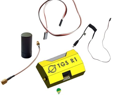
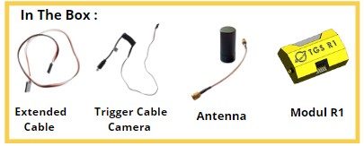
By integrating the latest advancements in GNSS technology, this module ensures that users can focus on their core tasks without worrying about the complexities of data collection. Its seamless compatibility with a wide range of drone platforms further enhances its versatility, making it a must-have for anyone aiming to excel in aerial mapping and geospatial analysis.

