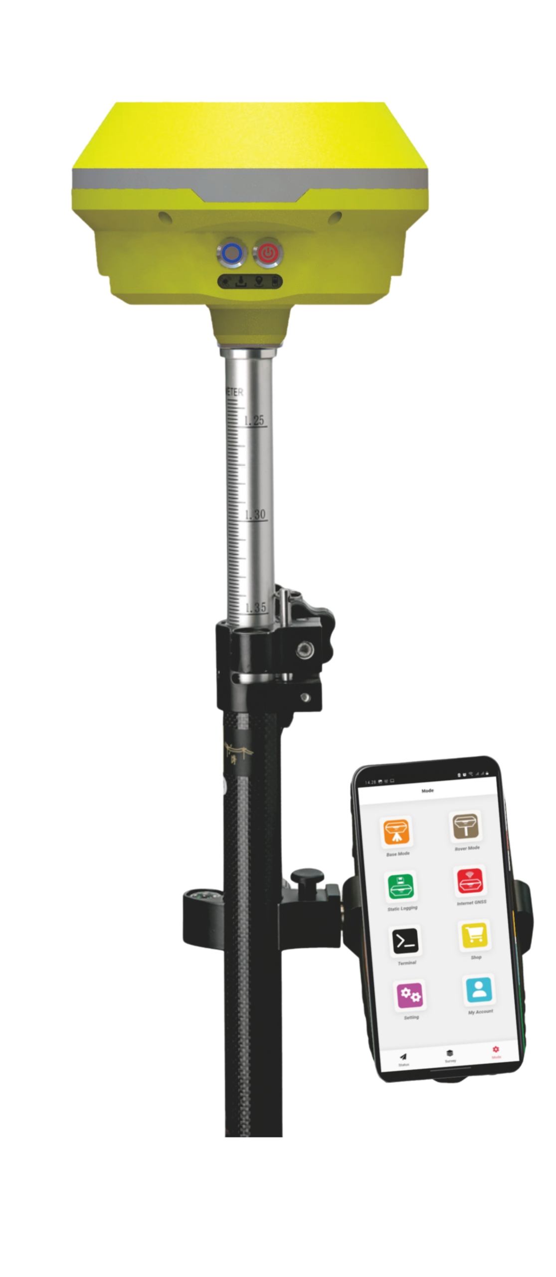
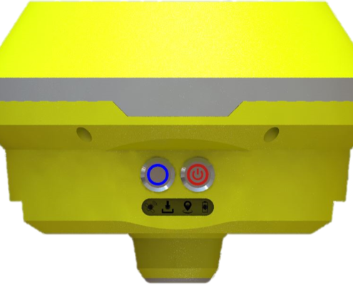
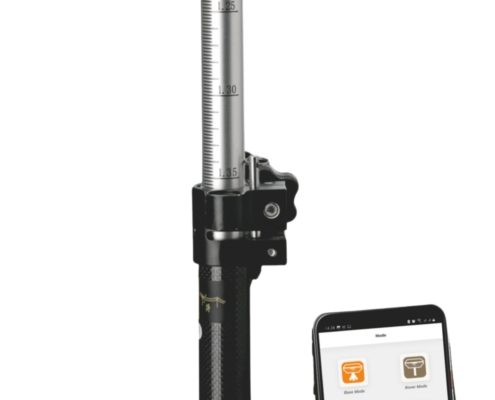
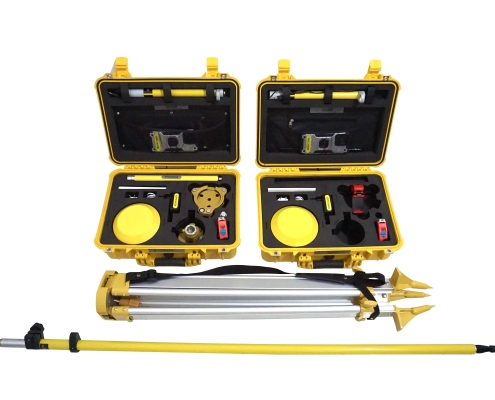
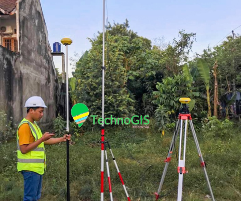
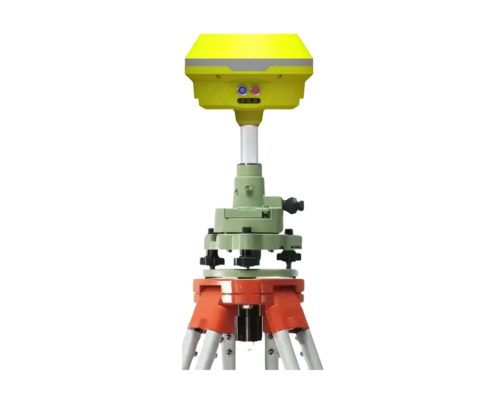
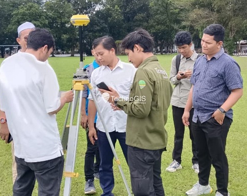
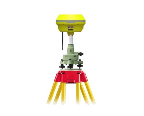
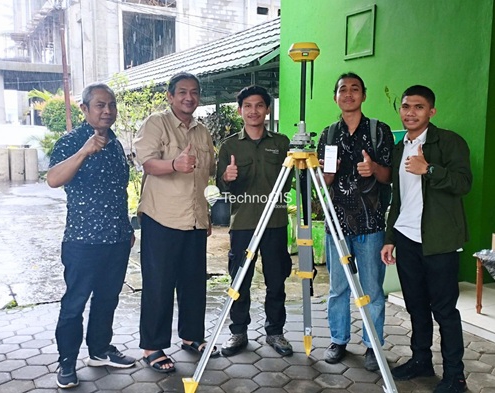
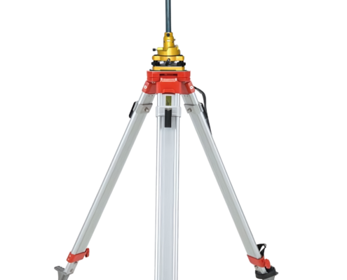
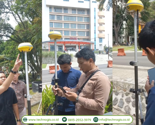
Revolutionize your geospatial projects with the TGS EQ1 GNSS RTK. Designed for unparalleled accuracy and efficiency, this cutting-edge technology sets a new benchmark in real-time kinematic positioning. Whether you’re mapping large-scale infrastructure, conducting precision agriculture, or managing land surveys, the TGS EQ1 GNSS RTK is your ultimate partner in delivering consistent, high-precision results.
Applications of TGS EQ1 GNSS RTK:
1. Land Surveying:
Achieve centimeter-level precision for boundary mapping, topographic surveys, and cadastral documentation. The TGS EQ1 streamlines workflows, enabling faster and more accurate survey results.
2. Construction and Engineering:
Optimize project execution with precise geospatial data for site preparation, infrastructure alignment, and as-built verifications. The TGS EQ1 ensures accuracy in every phase of construction.
3. Precision Agriculture:
Enhance agricultural productivity with precise field mapping, automated machinery guidance, and variable rate applications. The TGS EQ1 supports sustainable farming practices through accurate resource management.
4. Urban Planning and GIS Mapping:
Create detailed geospatial datasets for urban development, utility mapping, and disaster risk management. The TGS EQ1 integrates seamlessly with GIS platforms, providing real-time data for informed planning.
5. Mining and Quarrying:
Streamline resource exploration, pit design, and volume calculations with high-accuracy GNSS positioning. The TGS EQ1 is built to withstand rugged mining environments while maintaining reliable performance.
Embrace the precision and reliability of the TGS EQ1 GNSS RTK and elevate your geospatial projects to new heights.

